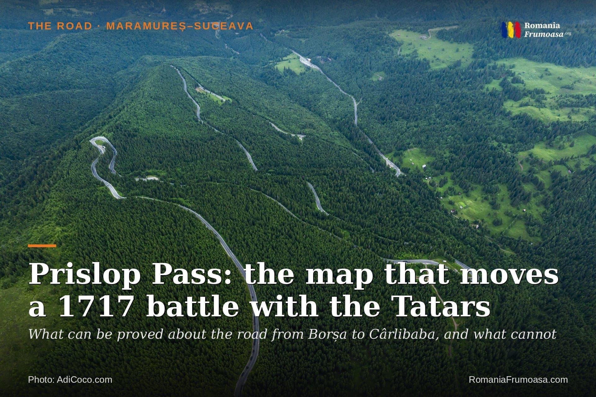
Prislop Pass: the map that moves a 1717 battle with the Tatars
The Road · Maramureș–Suceava · Prislop Pass
Where did the people of Borșa really fight the Tatars in 1717? A bronze plaque says "on this spot". An Austrian military map from the 1780s says "here" — four kilometres further down the valley.
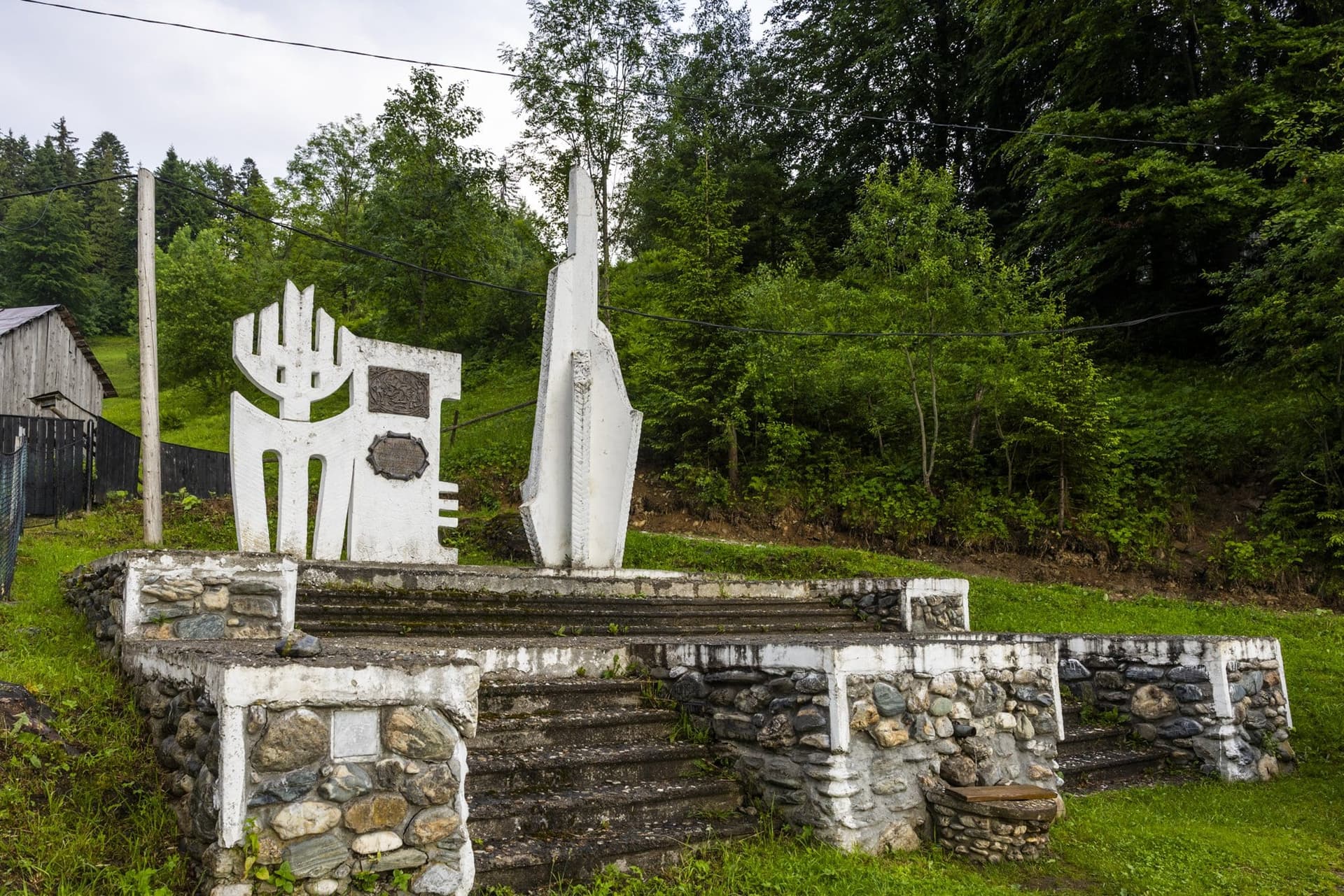
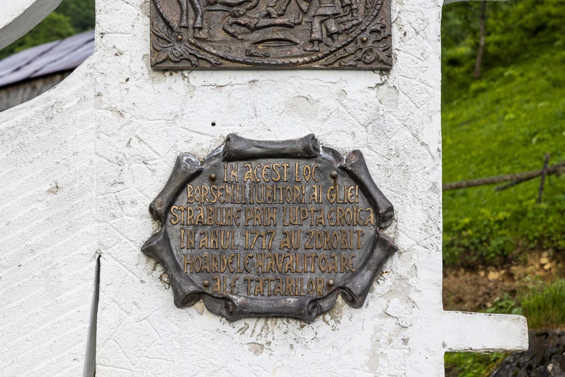
On the road that drops from the Prislop Pass towards the small town of Borșa, in Romania's far north, two white concrete forms stand on a stepped platform of river stone. On one of them, beneath a bronze relief of a battle, a plaque makes a precise claim: "On this spot, in the year 1717, the people of Borșa, lovers of their ancestral land, crushed the invading Tatar hordes in heroic battle."
Almost two centuries before the monument went up, an Austrian officer had written much the same thing, by hand, on a military map: "sind hier" — "here". His "here" is four kilometres further down the valley.
The pass has accumulated a long history. It has been called a Roman road, the route by which the medieval founder of Moldavia rode down from the mountains, a salt road, and the site of a folk festival supposedly recorded since 1373. The documents tell a shorter and stranger story. None of the sources consulted connects the pass with the Romans, with that founding prince or with salt. The road has no known birth certificate, only a date of modernisation: 1981. The festival dates from 1968. And the battle the bronze plaque commemorates is marked on the map somewhere else.
What the military archives do show are two moments when armies leant their full weight on this saddle: the summer of 1916 and the autumn of 1944.
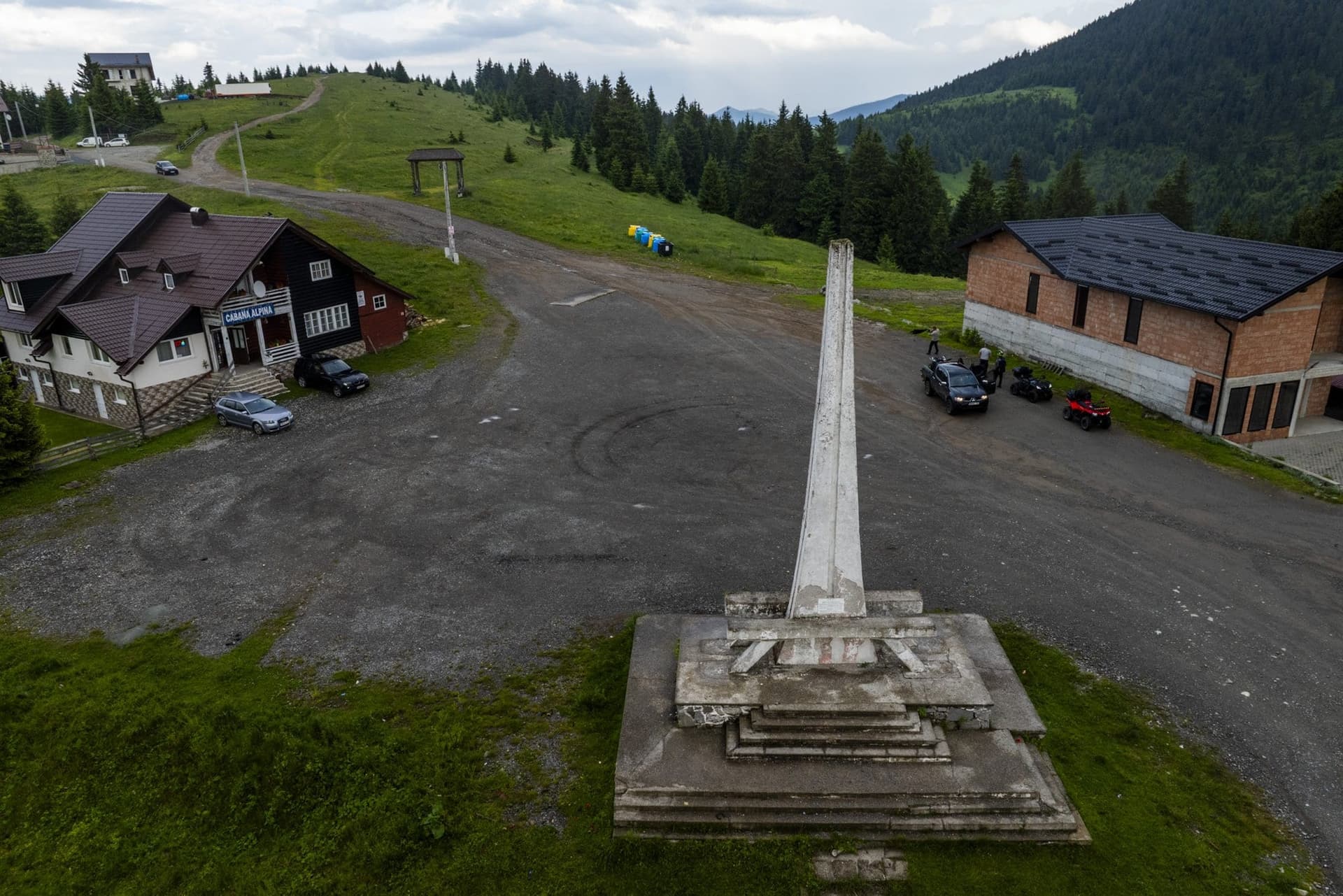
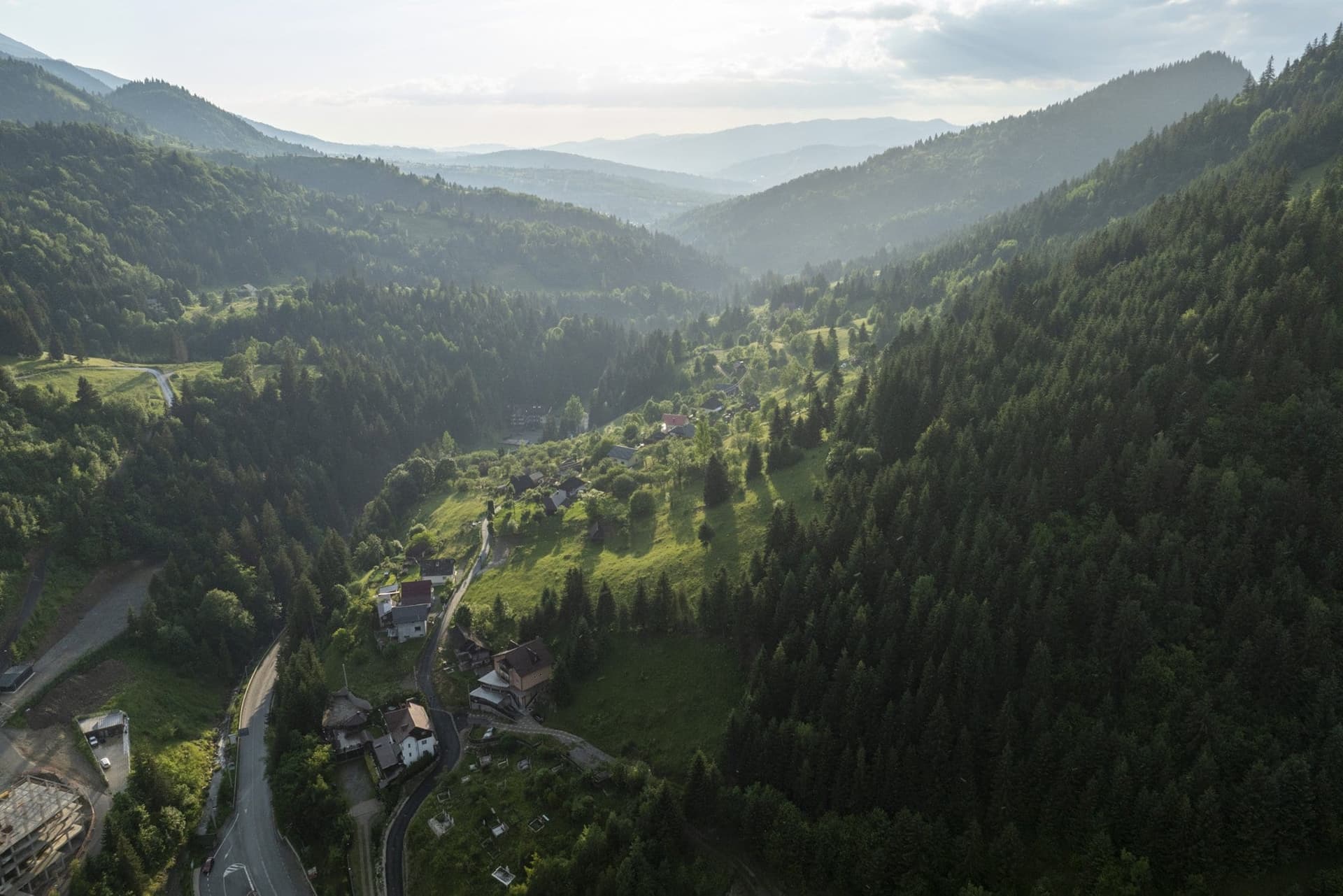
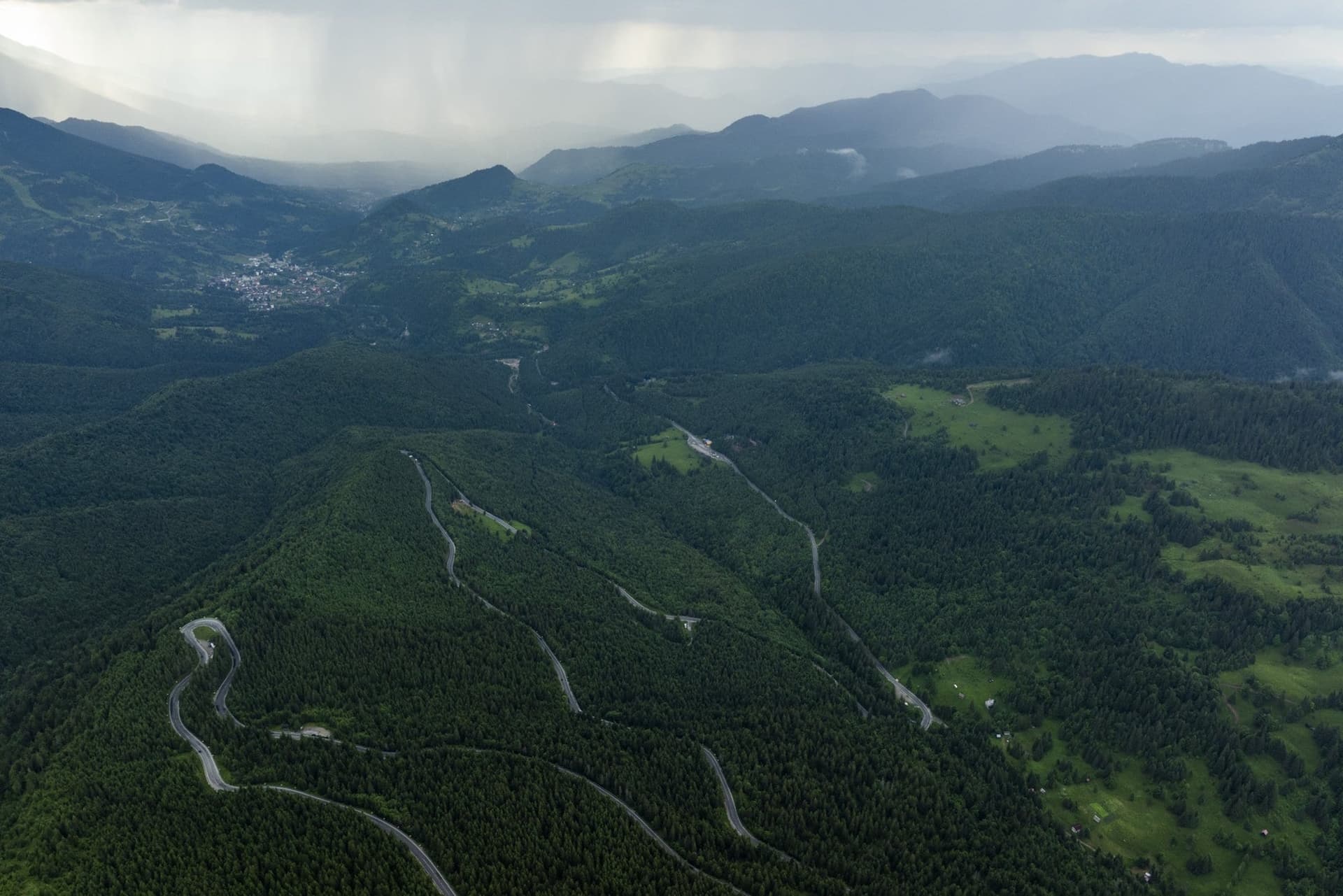
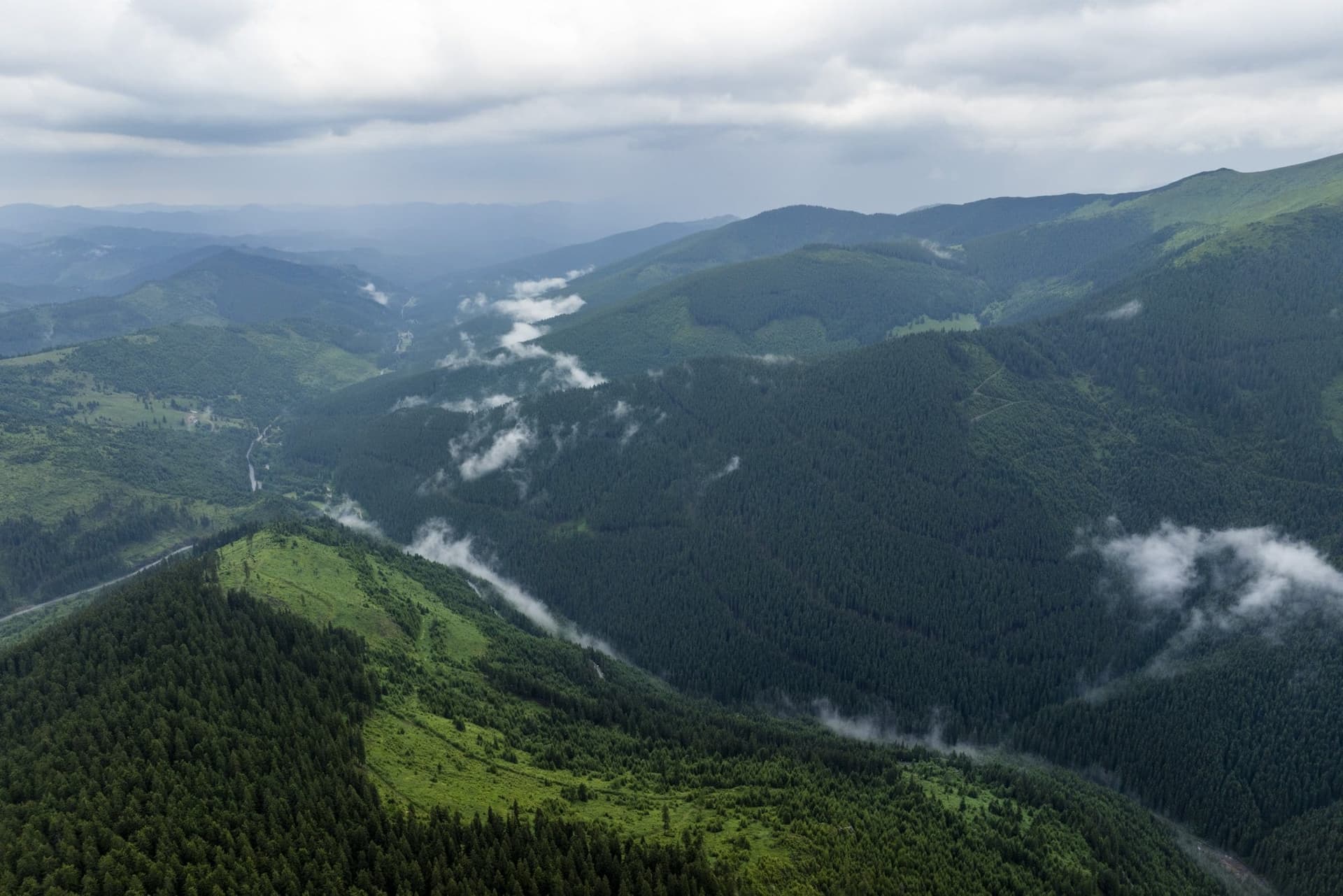
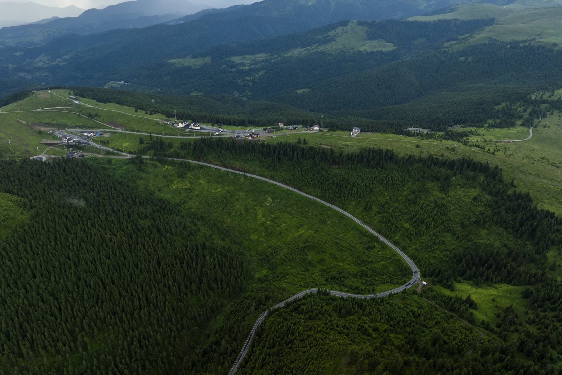
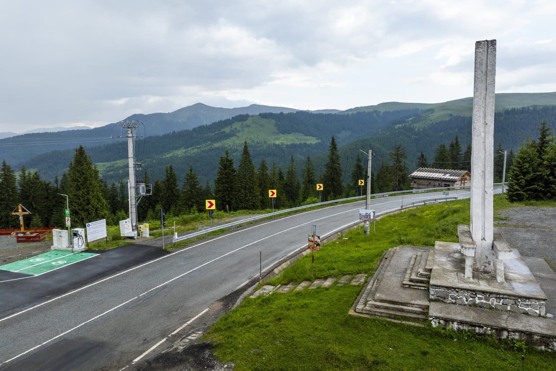
The saddle lies at 1,416 metres, between the Rodna and Maramureș mountains, in the northern arc of the Carpathians. The DN18 national road hairpins up from Borșa, passes a concrete obelisk and descends to Cârlibaba, in Bukovina. The river Vișeu rises just below the pass; on the far side, the streams run off towards the Bistrița Aurie, the "Golden Bistrița". This is the watershed between the Tisza, which drains to the Danube through Hungary, and the Siret, which reaches it through Moldavia.
"On this spot"
In August 1717, in the last Tatar campaign west of the Carpathians — the Crimean Khanate was fighting as the Ottomans' ally in their war with the Habsburgs — a Tatar force entered Transylvania through the Rodna Pass, plundered, and withdrew north through Maramureș. The Hungarian military historian József Bánlaky reconstructed the route of the main column. On 3 September it reached Borșa; on 4 September it tried to force a defile he calls "Sztrimtura", "which leads from the valley of the Vișeu into the valley of the Golden Bistrița". It found the defile barricaded by the people of Maramureș, led by Lupu Șandru, the priest of Borșa. The Tatars tried to cut their way through at any cost and lost half their force there, József Bánlaky writes. Of the whole expedition, more than half the men and horses never returned home.
Neither the year the monument was raised nor its maker appears in the sources consulted. The only source found that dates it, the military history website Rumania Military, places it "at the end of the 1970s, in the full flush of 'revolutionary fervour'". Those were the years of Nicolae Ceaușescu's national-communism, when official propaganda promoted medieval princes and local heroes because "they had always fought the enemy", as the historian Matei Gheboianu puts it. The plaque speaks that language: "ancestral land", "invading hordes".
"Sind hier"
Between 1782 and 1785, officers of the Josephine Survey — the first systematic military mapping of the Kingdom of Hungary, ordered under Joseph II — worked their way up the upper Vișeu. On their sheet they drew three guardhouses, marked "Wachthaus", two of them where the road leaves Borșa for the pass. On the riverbank, where the broad valley of Borșa begins to close in, they wrote a note by hand, in five lines: "Ao 1717 sind hier 15000 Tartaren von denen Inwohnern geschlagen worden" — "In the year 1717, 15,000 Tatars were defeated here by the inhabitants."
Directly beneath the note, the cartographer also recorded the name of the place: "Strimtura". It is the name József Bánlaky gives to the defile where the Tatars were stopped. The two sources are not necessarily independent — the historian may well have worked from the same Austrian archives — but they point to the same place. The figure of 15,000 is the cartographer's; no other source consulted confirms it.
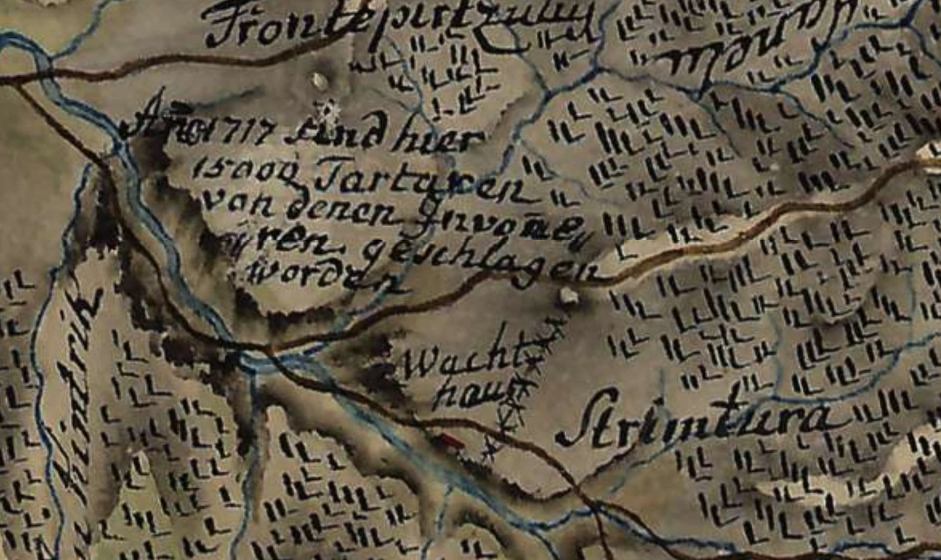
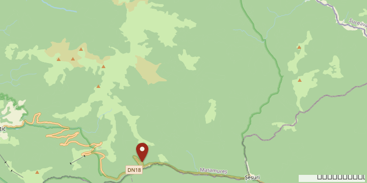
Measured on the georeferenced version of the map published by Arcanum, the note sits about four kilometres west of the monument, as the crow flies. Maps of this kind have no geodetic basis. In the original georeferencing of the larger provinces, errors ran to a kilometre or two; a revised method has brought them down to between 100 and 200 metres. The gap between the note and the monument is larger than either.

The note on the 1780s map and the Preluca Tătarilor monument, on the same valley. Distance measured in a straight line. Graphic: RomâniaFrumoasă
The cartographer was writing some 65 years after the battle, when people who had witnessed it may still have been alive. The monument went up more than two centuries later. The archaeologist Bogdan Bobînă, of the Maramureș County Museum of History and Archaeology, pointed out the discrepancy as early as 2015. The year before, he had searched the ground for traces of the battle and found no artefacts from it.
The date does not match either. Borșa commemorates the battle on 17 September, at the monument. The historical sources place it on 3–4 September — and the map, four kilometres further down.
A road without a birth certificate
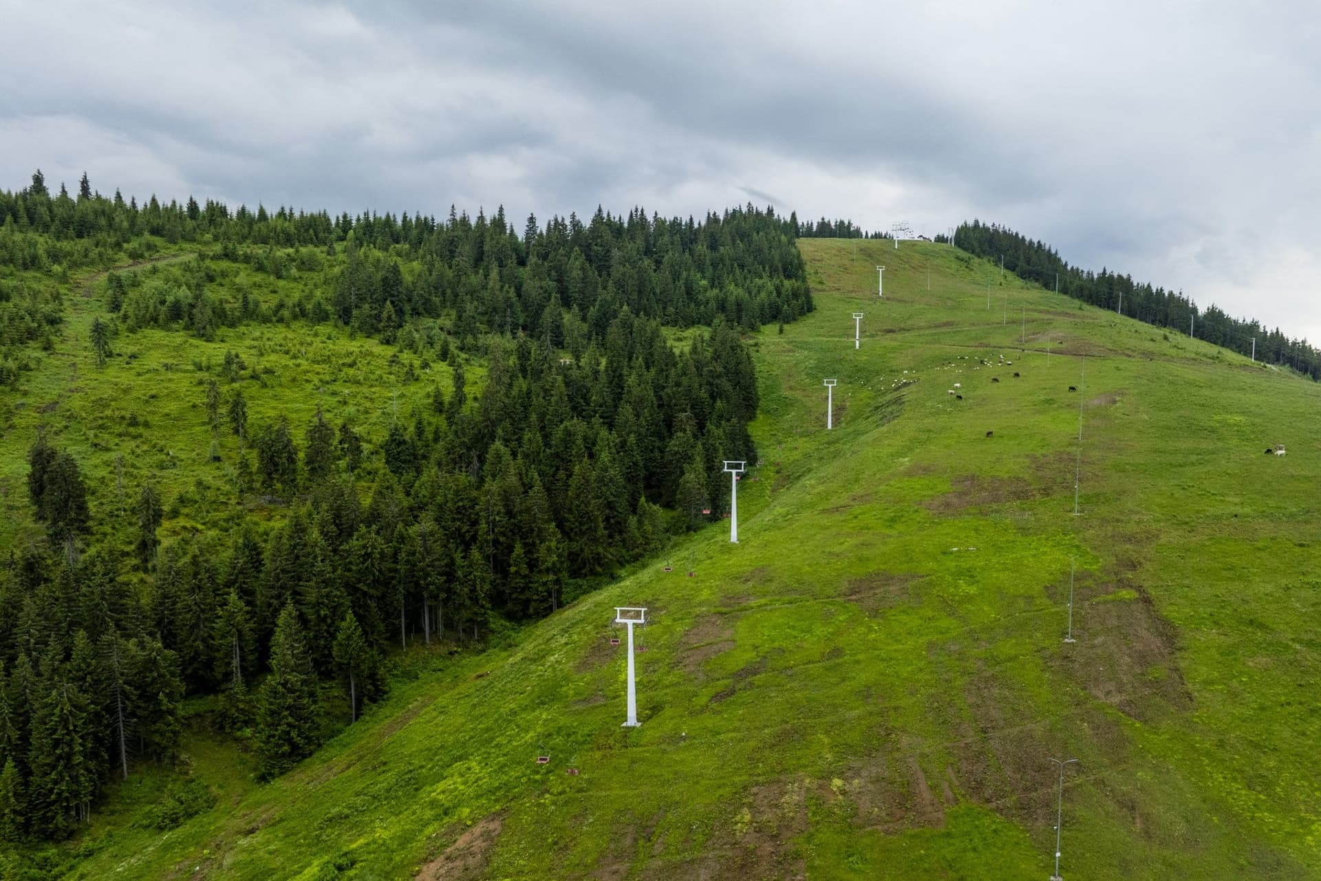
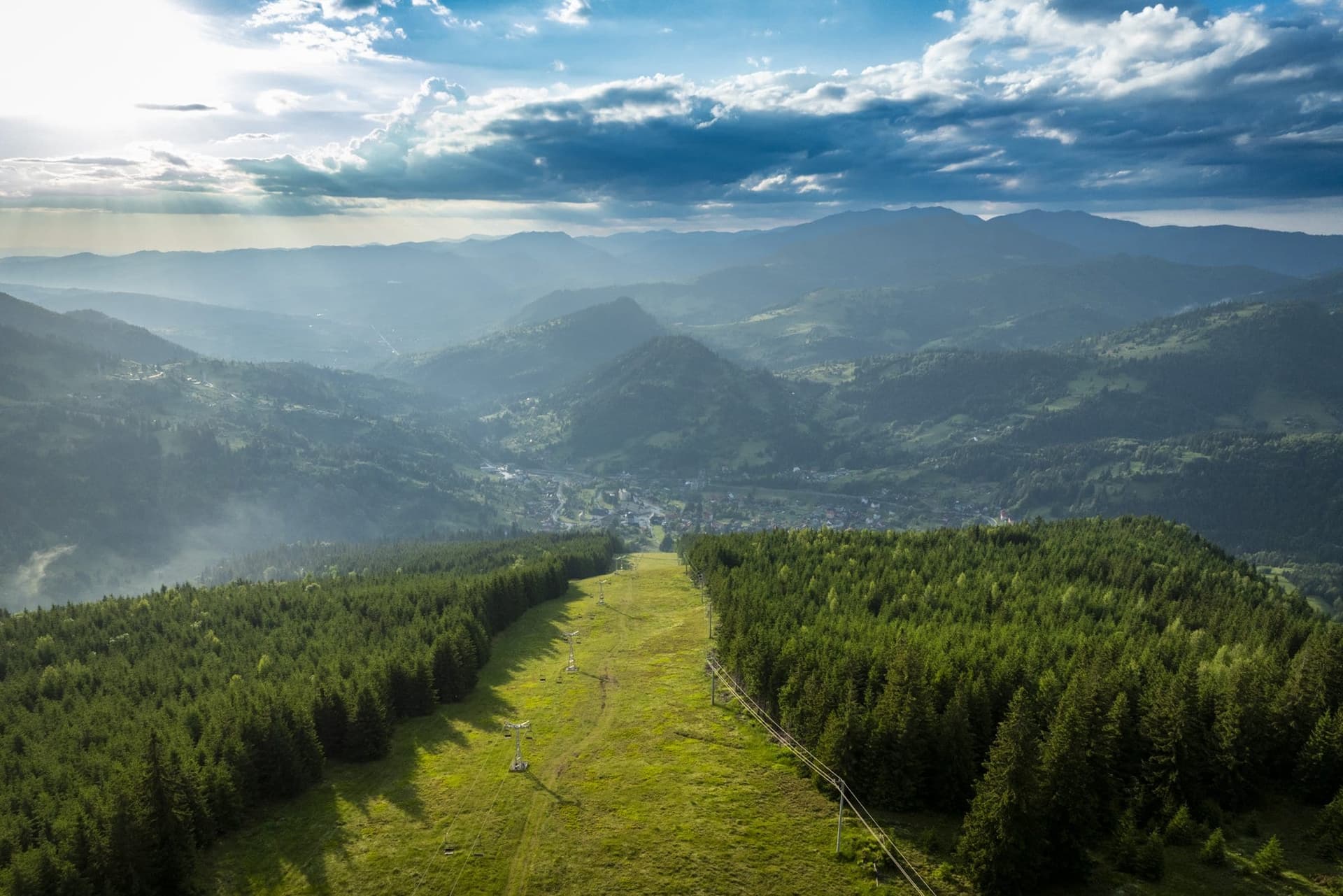
The oldest human traces found on the saddle are not a road but a handful of stone tools. Bogdan Bobînă found the first two in 2012 on the ski slope, at 1,395 metres; they probably date from the Upper Palaeolithic. They show that people climbed up here very early. They do not show by which route, or why.
Neither the law, nor the budget, nor the engineer that turned the track over the Prislop into a cart road appears in the known sources. Even the great imperial encyclopaedia, Die österreichisch-ungarische Monarchie in Wort und Bild, gives no date. Its Bukovina volume of 1899 describes "the mountain road that leads through Kirlibaba into Hungary" as a jewel of the Carpathian world, where the virgin forests of Maramureș meet those of Bukovina.
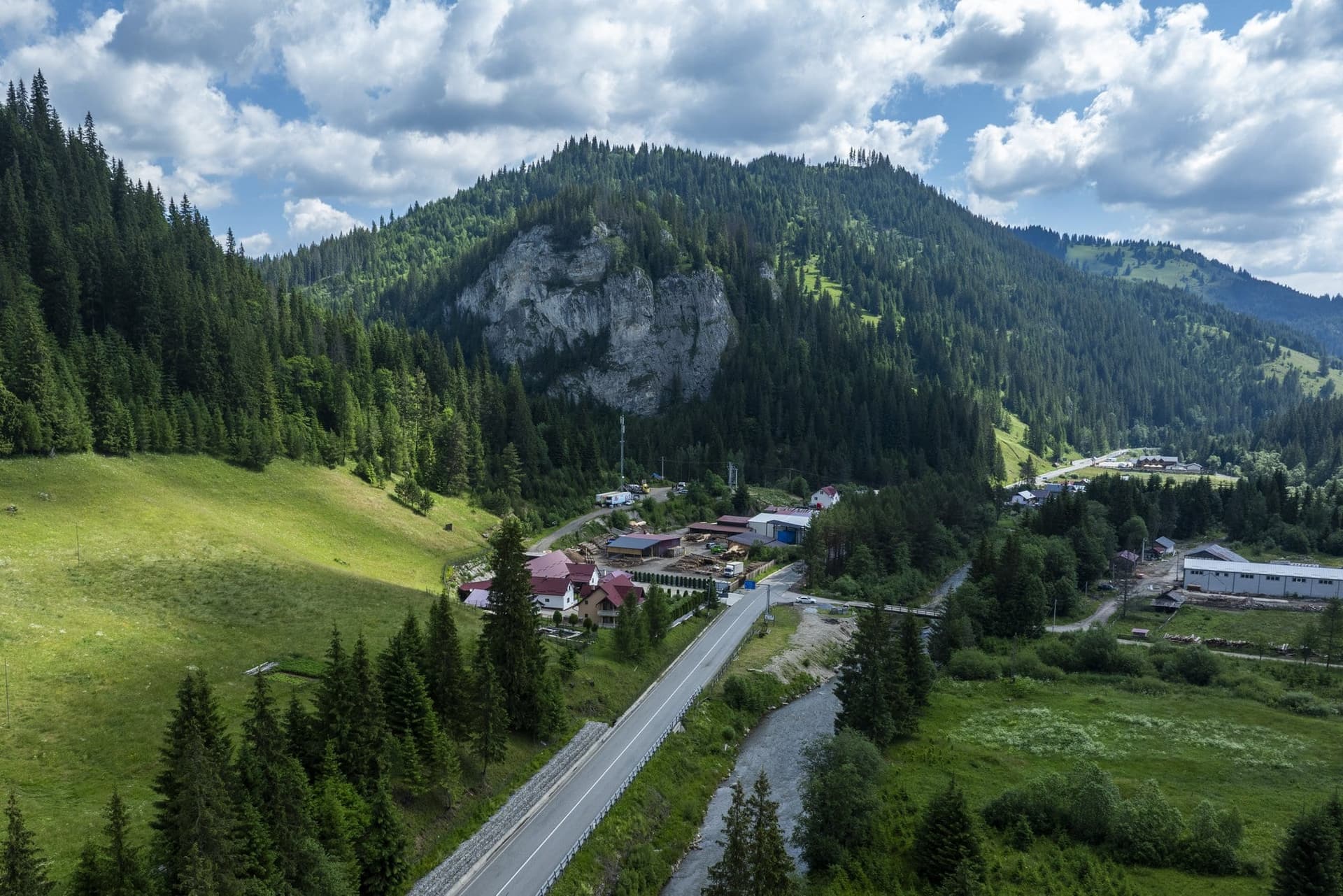
Nor did the border run through the pass. From 1775, when the Habsburgs took Bukovina from the Ottoman-ruled principality of Moldavia, until 1918, the frontier between Austrian Bukovina and Hungary lay lower down, at Cârlibaba. In 1911 the Lutheran pastor of Iacobeni, Carl Frankendorfer, described the village as "still in Bukovina, but right on the border with Hungary and Transylvania". Cârlibaba stood on the left bank of the Golden Bistrița; Lajosfalva — Ludwigsdorf to its German speakers — on the right. Between them, "a larger bridge".
The Austrian 1:75,000 military map, corrected to 4 April 1914, already shows a road drawn with a double line, looping in wide hairpins up the Borșa side. On the saddle, at spot height 1413, two letters: "WH". On Austrian maps the abbreviation usually stands for Wirtshaus — an inn. It is the earliest known hint of a place to stop on the pass.
1916: "a very important lateral line"
In January 1915, some 2,200 Polish legionaries of the Second Brigade got off the train at Borșa — "the last station on the Hungarian side" — and crossed the Prislop on foot, at close to minus 30 degrees, to fight at Kirlibaba. The historian Aleksander Smoliński has reconstructed their route from Polish records.
In June 1916 the offensive of the Russian general Aleksei Brusilov drove the Austro-Hungarian front out of almost all of Bukovina, back to the Golden Bistrița. On 24 June the high command at Teschen ordered Colonel-General Karl von Pflanzer-Baltin, commanding the Seventh Army, to stop the Russians "in the worst case on the Prislop, Rotunda and Borgo passes". The Prislop was one of three gates into Transylvania and northern Hungary.
On 16 July, Russian troops crossed the frontier ridge north of the saddle and by evening stood before the spa of Borșa. The next day an Austro-Hungarian battalion was brought up by lorry from Iacobeni, over the Prislop saddle. The army group command was reluctant to commit a whole division to the mountains. Karl von Pflanzer-Baltin insisted: he had to hold "the Kirlibaba–Prislop saddle–Vișeu de Sus road, a very important lateral line of the Seventh Army" — the road along which troops could be shifted up and down the front. On 18 July the argument settled itself. The Russians had withdrawn "under cover of fog".
The front then settled east of Cârlibaba until the summer of 1917, and the pass became its hinterland. Between Borșa and Iacobeni the army laid a narrow-gauge railway of 77 to 80 kilometres, built by thousands of Russian prisoners of war. It was dismantled in 1930–31. What remains on the saddle is a military cemetery holding 136 soldiers: Romanian, German, Polish and Russian.
1944: the fort that did not fall
The Second Vienna Award of August 1940, imposed on Romania by Germany and Italy, handed northern Transylvania — Borșa and Cârlibaba Nouă with it — to Hungary. The border returned to the bridge over the Golden Bistrița. Hungary's 2nd Border Guard Battalion moved its headquarters to Borșa with an order that fitted in three words: "a borsai-hágó lezárása" — close the pass. On Mount Priszlop, at spot height 1414, a fort was built for the Árpád Line, Hungary's chain of fortifications in the north-eastern Carpathians. The line was a string of valley barriers, writes the historian József János Szabó, with one exception: the fort on the Borsai-hágó, as Hungarians called the Prislop.
In May 1944 the Jews of Borșa — 2,486 of its 11,230 inhabitants at the 1930 census — were rounded up into the ghetto at Vișeu de Sus and deported to Auschwitz. In 1947, 395 were living in the town.
What happened at the fort that autumn is known almost entirely from the memoirs of a Hungarian captain, Gábor Éltető, held in the military archive in Budapest and quoted by József János Szabó in his history of the Árpád Line. On 23 September his company reached the fort on Priszlop-tető by way of Borșa. From early October the fort came under attack from the east and north-east "by forces of more than a division", and beat off every assault. On 12 October came the order to withdraw through Borsafüred — the spa of Borșa — towards Sighet. Not because of losses on the mountain, but because the front was collapsing further south, in the Székely Land.
We also looked for the Soviet side — the operational logs of the units that attacked from Bukovina — but could not find them available online. For now the account is one side's alone, and "more than a division" is its figure.
The road of the retreat to Sighet ran through Moisei. On 14 October 1944, two days after the fort was abandoned, retreating Hungarian troops shot 29 Romanian peasants there, brought from the labour camps at Vișeu de Sus, together with three Jews. Sighet was liberated on 17 or 18 October.
What remained, and what was added
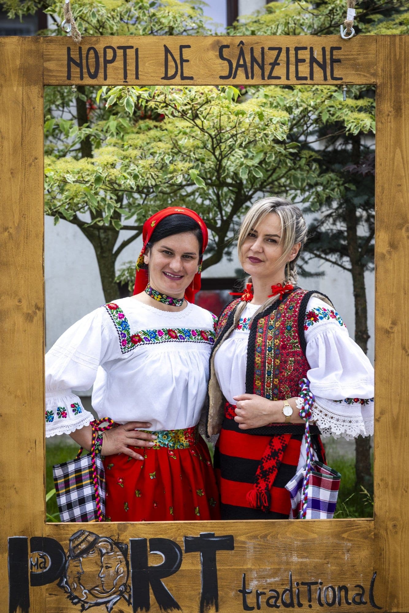
After 1945 the pass became what it is today: a county boundary. In August 1968 the folklorist Nicoară Timiș, a native of Borșa and director of the county's centre for folk culture, organised the first Hora la Prislop — a festival of circle dances bringing together the people of Maramureș, Bukovina and Năsăud. The 50th edition was held in 2022, so the festival has skipped a few years. The Romanian press describes it as "attested since 1373", or "since 1738". None of the sources found cites the document.
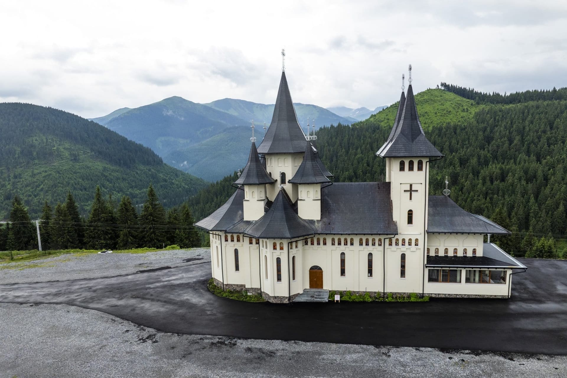
On 13 August 2000 the foundation stone of the Prislop Monastery was laid on the saddle itself; its masonry church was consecrated in 2015. It is not the monastery of Arsenie Boca, the Orthodox monk venerated across Romania — that one lies in the Hațeg Country, in Hunedoara county, where he served and where he is buried. "Prislop" is a common noun: the Romanian dictionary defines it as "a saddle-shaped pass at altitude". Villages, peaks and streams in several counties bear the same name.
On the saddle, the obelisk beside the Cabana Alpina carries a plaque of its own, lettered in black on white. It mentions no battle, and no "here". In July 1979 Scînteia, the Communist Party daily, announced that "owing to modernisation works on the DN 18" the Borșa–Prislop–Cîrlibaba section was closed to traffic. The plaque records that "the modernisation of the D.N. 18 Prislop–Cîrlibaba–Iacobeni was completed in the year 1981", and names the designer: IPTANA București, the state transport design institute.
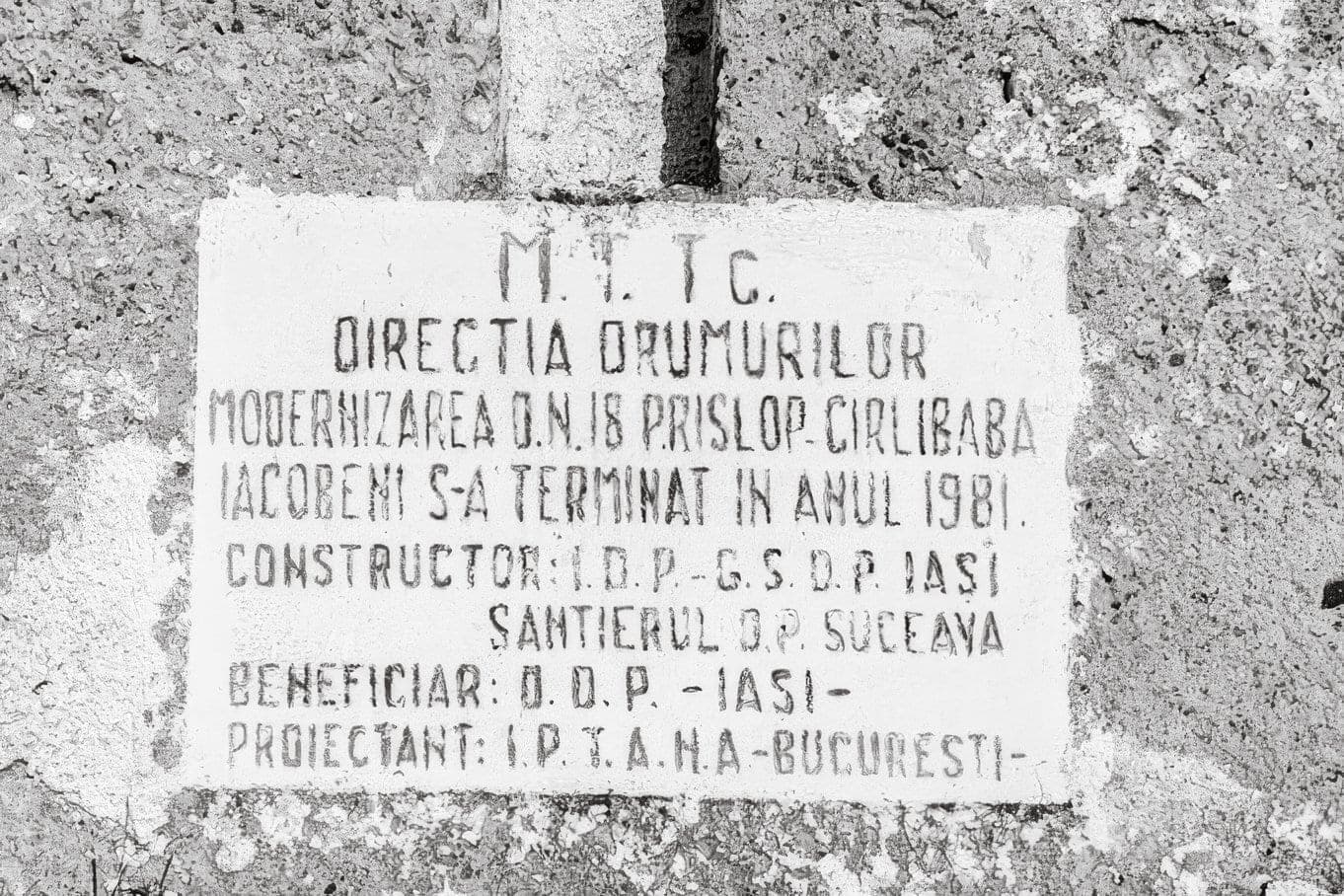
Of the two plaques on this road, it is the one that makes a claim you can check.
Photographs taken on 24 and 25 June 2026, from a drone and on the ground. The text rests on archival documents and maps. We have asked the Maramureș County Museum of History and Archaeology for details of the monument and of the archaeological finds, and will report on their answer.