A road · Neamț · The Bicaz Gorge
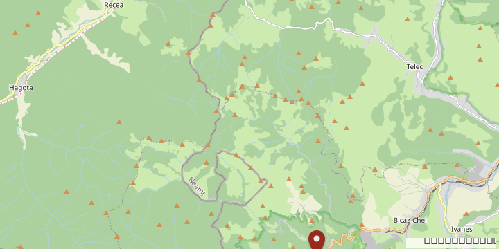
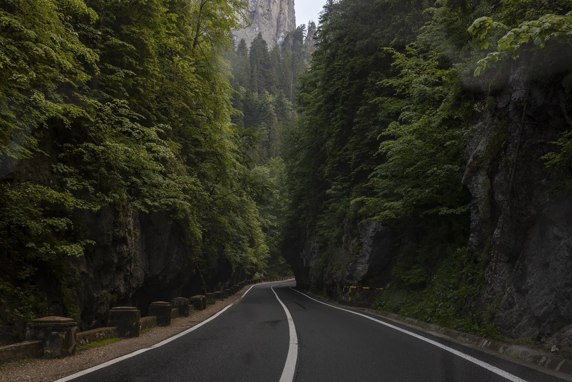
Almost 56.5 kilometres between Bicaz and Gheorgheni, through the Bicaz Gorge and past Lacu Roșu, along a valley that was moving freight long before there was any asphalt. What went down here, and what comes up today.
---
In 1929, the priest and archaeologist Constantin Matasă published Călăuza județului Neamț, a guide to Neamț County. In it he gives two distances for the same place. From Piatra Neamț to the Bicaz Gorge it is 54 kilometres by way of Bicazu Ardelean and 150 by way of Tulgheș and Gheorgheni. Then he explains why: "Whoever can walk 7—8 km. may go to the Bicaz Gorge through Bicazul Ardelean; whoever cannot walk, being frail or elderly, had better take the road through Tulgheș-Ghiorghieni." In 1929, then, to reach the gorge from the Moldavian side you still got down from the carriage.
Today the road exists, it is called DN12C, and the official inventory gives it 56.482 kilometres. The detour Matasă recommended is still standing — it is the diversion the authorities signpost whenever the defile closes, along DN15 through Poiana Largului, Borsec and Toplița — and it is almost a hundred kilometres longer. That difference helps explain the pressure on a mountain road with one lane in each direction.
What went down before the asphalt
The valley moved freight before it had a road; it simply moved it downhill, on water. In 1891 and 1892, on the estate of Urmánczy Nándor, who held some 16,000 cadastral yokes of forest there — roughly 9,000 hectares — a log flume was built: it started at Șugău, ran through the Bicăjel gorge, then through the Bicaz Gorge, and carried the timber as far as the Bistrița — from where it continued down the Siret and the Danube to the Black Sea. A wooden trough between 0.80 and 1.60 metres wide, 60–70 centimetres deep, dropping one metre per kilometre.
A forestry inspector's report from 1897 puts the flume at 49 kilometres; modern sources consider 28 to 30 realistic. At the end of the nineteenth century, more than 100,000 cubic metres of sawn timber left the Giurgeu basin every year, and the flume was one of the ways out. In 1879, in the Gheorgheni district, 125 water-driven sawmills were cutting the wood. The goods were sorted by destination: floorboards went to Romania, sieve frames to Budapest. Resonance wood — the kind pianos are made of — went to Berlin, to Paris and to London. By 1904, when Gencsy Zoltán photographed it, the flume was no longer in use. The valley did have rails before it had asphalt, though: in 1885 a forestry railway was built here for the timber of the Bicaz valley — the first in Moldavia, according to a historian of the estate.
What comes up today
For a century the valley sent its timber down — on water, on rails, then on asphalt — as far as Berlin, Paris and London. Today the goods travel the other way: they come up from Bicaz and stop at the roadside, at the stalls between kilometres 27 and 32.
Along those seven or eight kilometres the road has one lane in each direction and walls a few metres from your wing mirrors. The limit is 30 an hour, and the falling-rocks triangle stands opposite the wooden stalls selling souvenirs. The national park administration has been asking for years that the traders be moved, and a plan to relocate the stalls into standardised units has stayed on paper. At eight in the evening the stalls are shut and almost nothing passes on the wet asphalt.
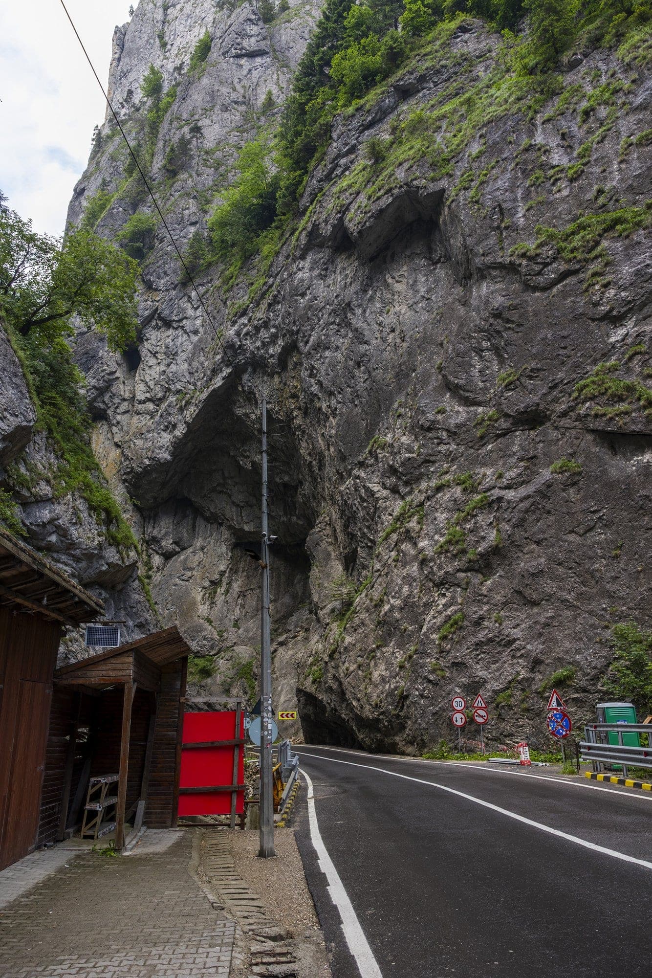
One of the exposed points is called Șura, at kilometre 31. There, on 10 August 2022, a rock came loose from the slope and struck a tourist on the head as he stood at the stalls. In April 2026 another warning was issued about the risk of falling rocks in the area.
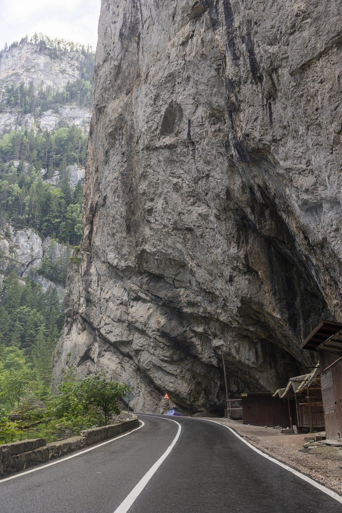
Restrictions on heavy traffic are documented here from at least 2010, when the Harghita authorities set up police checks at Gheorgheni to turn lorries back. In 2022 the park director estimated that "at least a few dozen" heavy vehicles pass through the gorge every day, and said their vibration contributes to loosening the rock. Exactly how many is not known: there is no published traffic figure for this stretch.
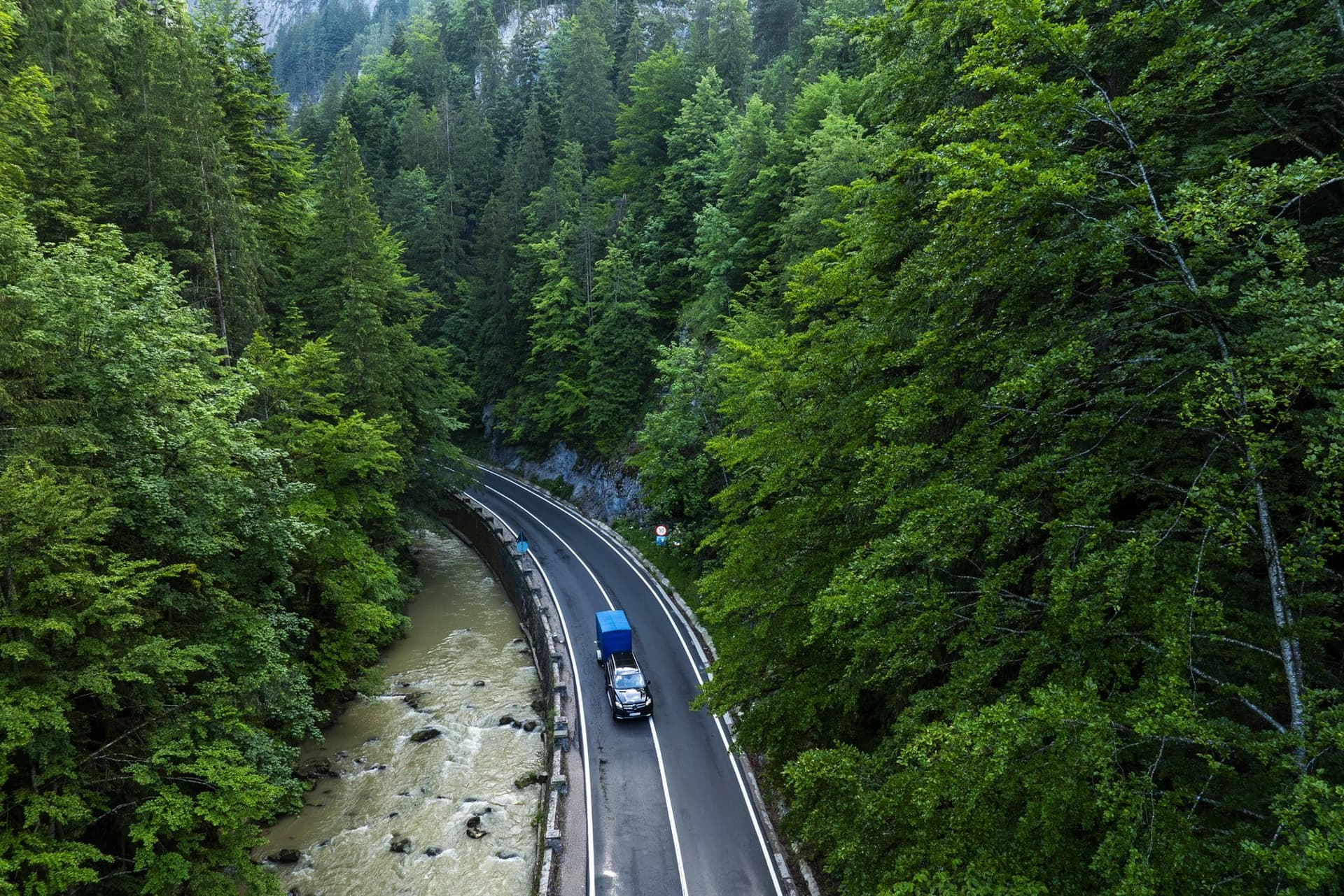
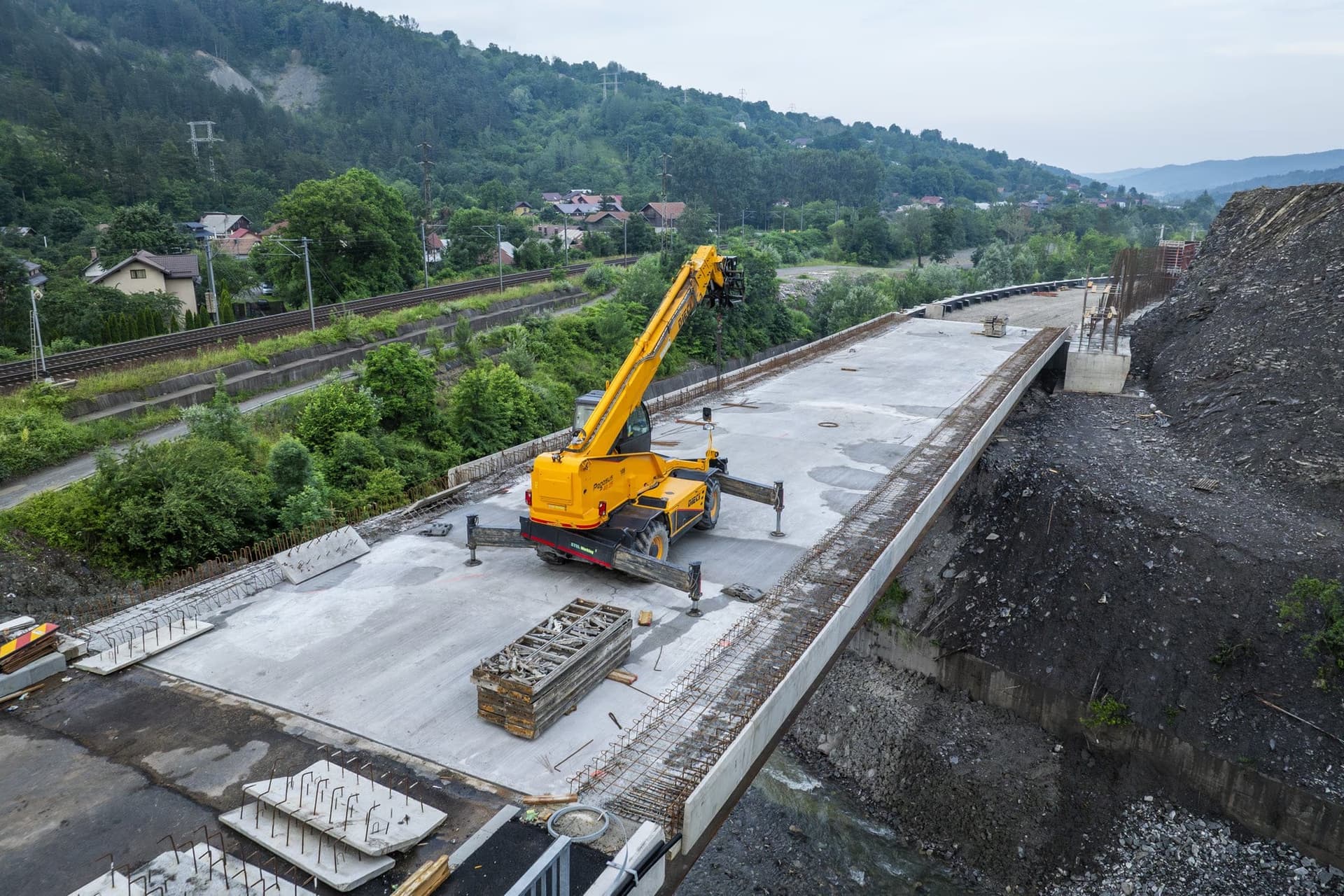
At the end of May 2025, after a retaining wall collapsed into the bed of the Bicaz at kilometre 33+940, the county emergency committee ruled that from 2 June, for thirty days, no vehicle over thirteen tonnes could pass, emergency vehicles excepted. The consolidation works finished on 25 July 2026 and traffic resumed without restrictions.
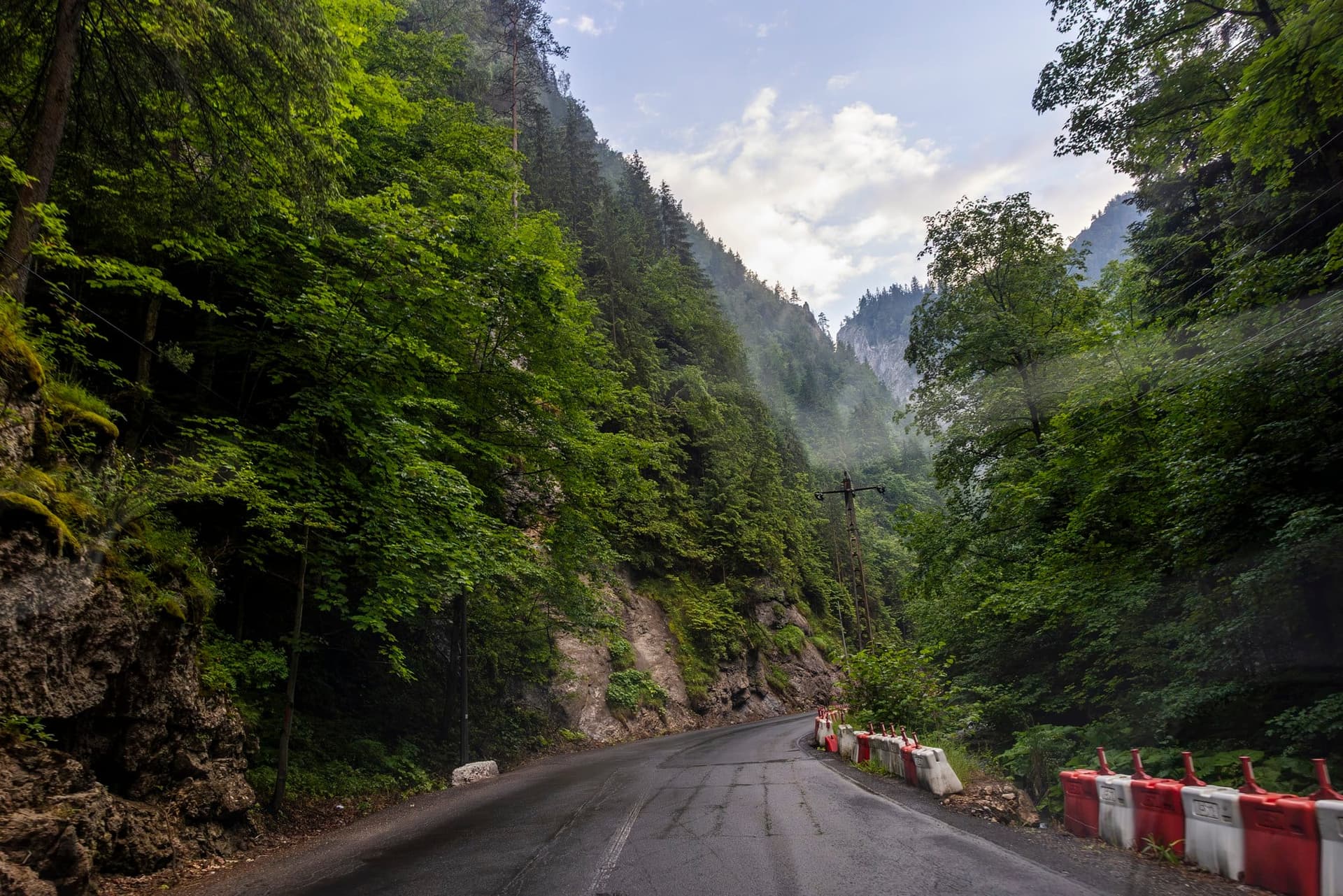
The signposted detour is the same one: almost a hundred kilometres more. Which is why everything that passes, passes through the gorge. It is not the scenic option; it is the short one.
In another country
Everything that came down here before 1918 set out from another country. The Bicaz Gorge, Lacu Roșu and the villages of the upper valley — Bicazu Ardelean, Bicaz-Chei, Dămuc — belonged to Csík County, in Hungary. The border with the Kingdom of Romania ran downstream, at the entrance to today's Bicaz, where a record from 1867 mentions a customs post at Chisirig. Urmánczy's timber therefore crossed a state frontier to reach the Bistrița.
The post-war border change did not move them into Moldavia straight away either. Csík County became Ciuc County, and the villages stayed in it: in 1938, Bicazul Ardelean was still a commune of Ciuc County, not of Neamț. Between 1940 and 1944, after the Second Vienna Award, the valley passed under Hungarian administration again, and a fortifications company was stationed at Bicazu Ardelean with orders to seal the defile. Near the mouth of the Bicăjel, a bridge begun in those years and left unfinished still stands; it is still called Podul Ungurilor, the Hungarians' Bridge. Only from 1968, when the regions were abolished, has the valley been part of Neamț County.
The road through the gorge, piece by piece
The road was built late and in stages, but nobody quite knows when. The dates circulating in secondary sources say it was a cart track widened around 1905, that the Transylvanian stretch was ready in 1914 and the Moldavian one only in 1937; a Hungarian magazine writes that the hairpins began to be built in 1912, for military purposes.
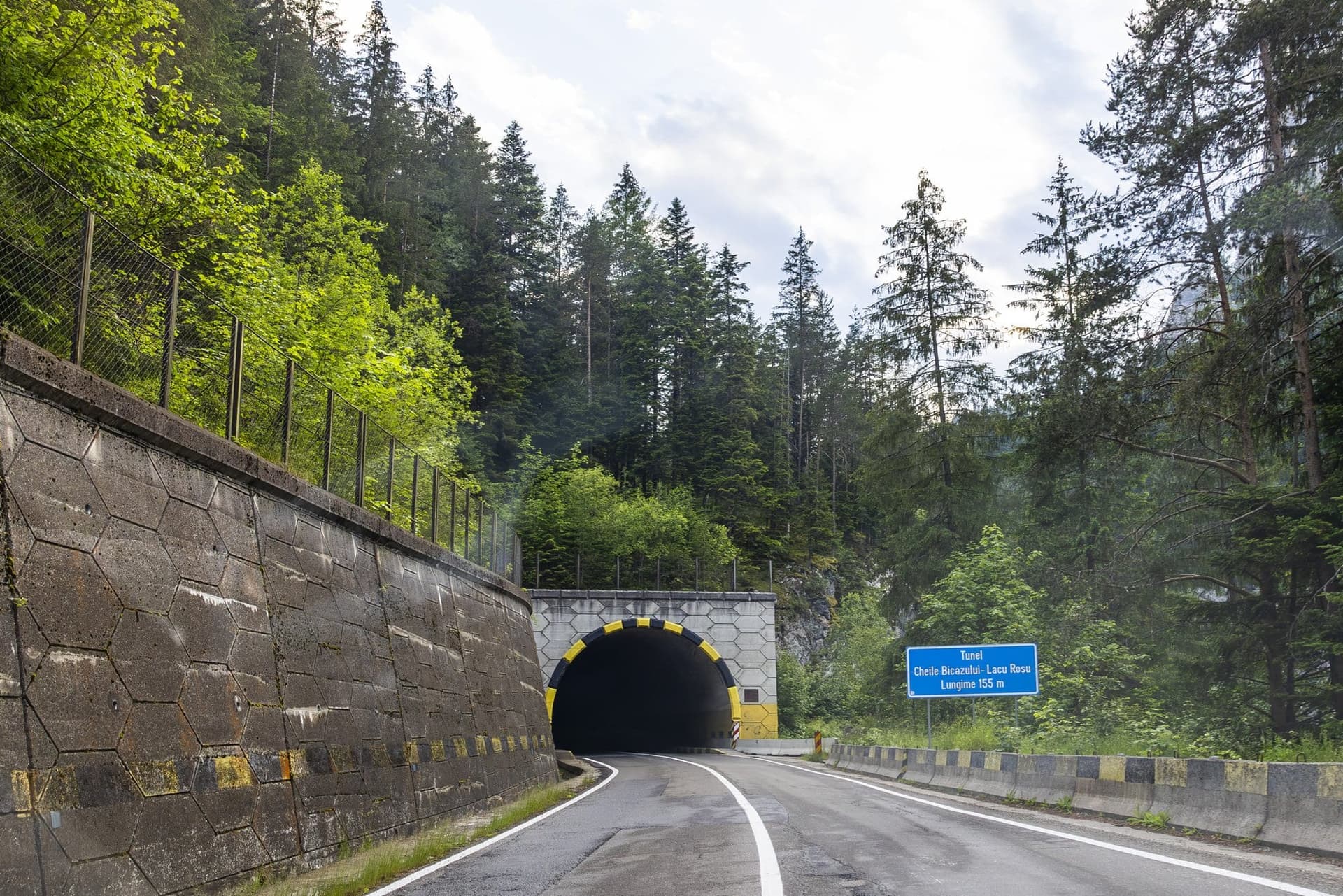
The tunnel, on the other hand, has a date. The first was cut in 1918 by widening a karst cavity in the massif: 68 metres long, 5.70 wide, 4.10 high — too tight, and without the sightlines motor traffic needs. Today's tunnel is built upstream of it and has a blue plate at the entrance reading 155 metres.
How long is the Bicaz Gorge
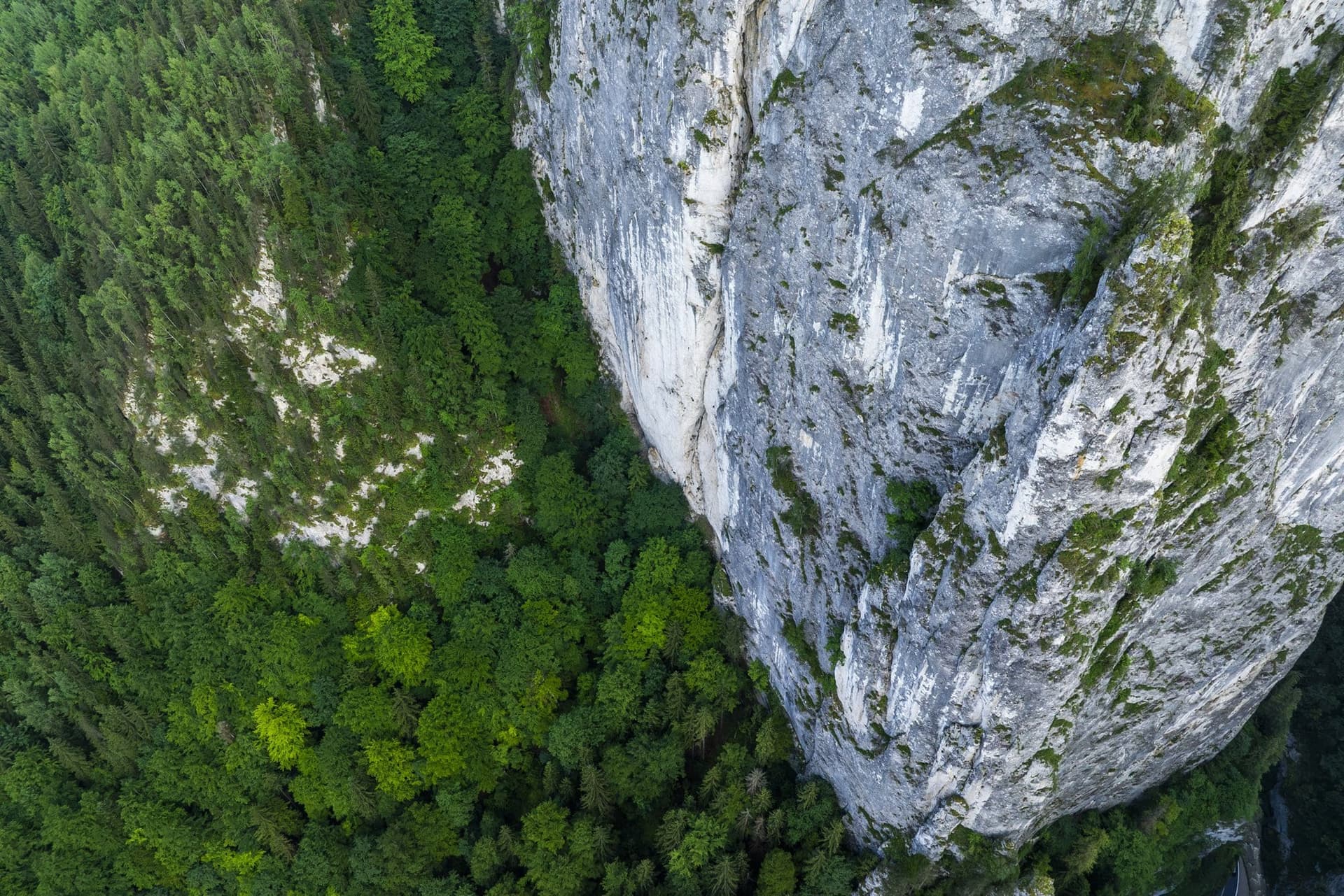
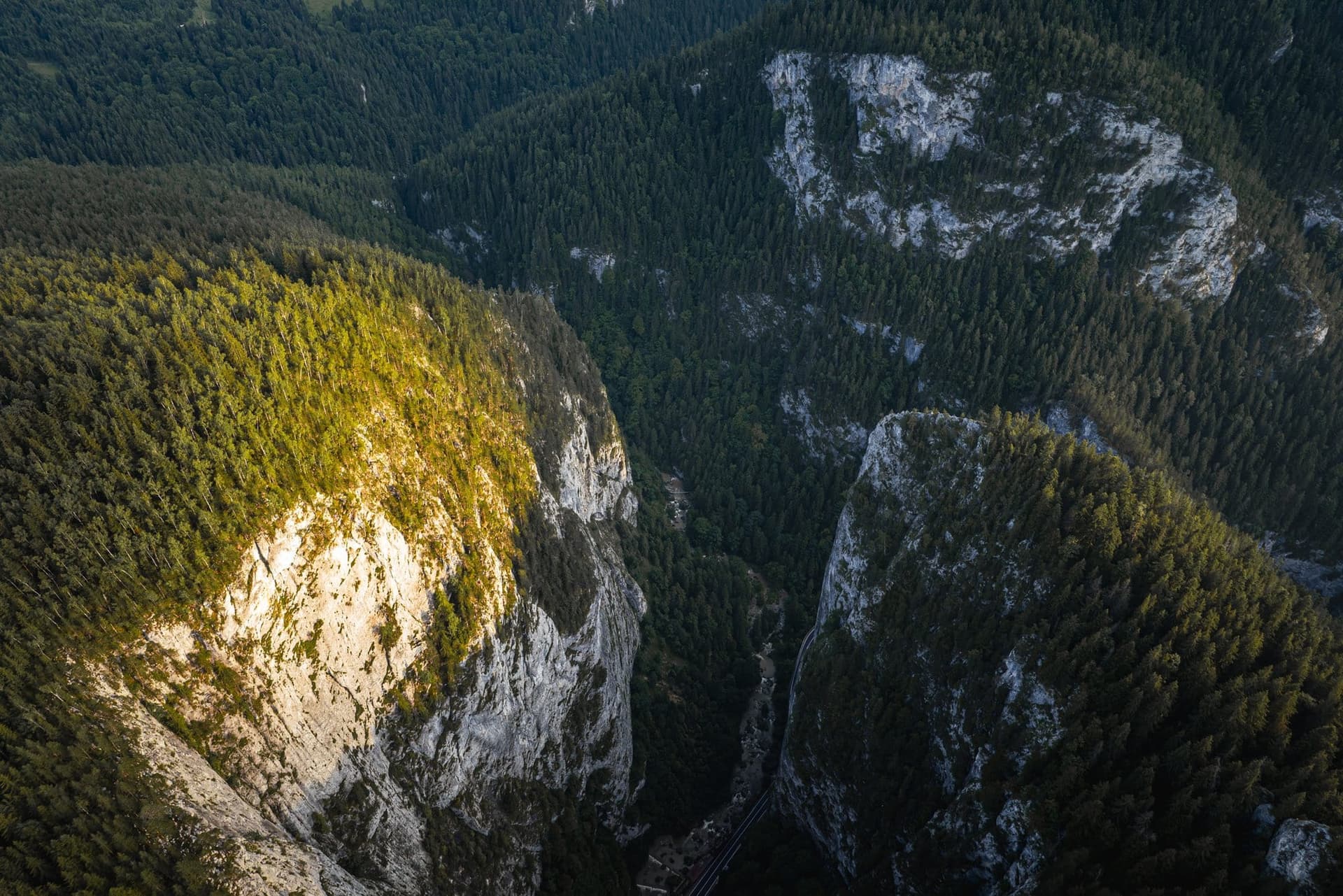
The gorge begins at kilometre 26.5 of the road and ends at 34. The climber Emilian Cristea divided it into four sectors, and his division is still the one used by Bicazu Ardelean town hall: Între chei, Polițele Bardosului, Gâtul Iadului and Sfârșitul cheilor. Gâtul Iadului — the Throat of Hell — runs from kilometre 31 to 32.2 and looks like a canyon; in Hungarian it is called Pokol tornáca, and above the road there leans the rock known as Turnul de Pază, the Watchtower.
How long it is depends on which markers you use. Bicazu Ardelean town hall, counting from 26.5 to 34, arrives at seven and a half kilometres. Bicaz-Chei town hall, next door, writes eight. The climbing guides of Emilian Cristea and Walter Kargel say six. It depends where you decide the gorge begins and where it ends.
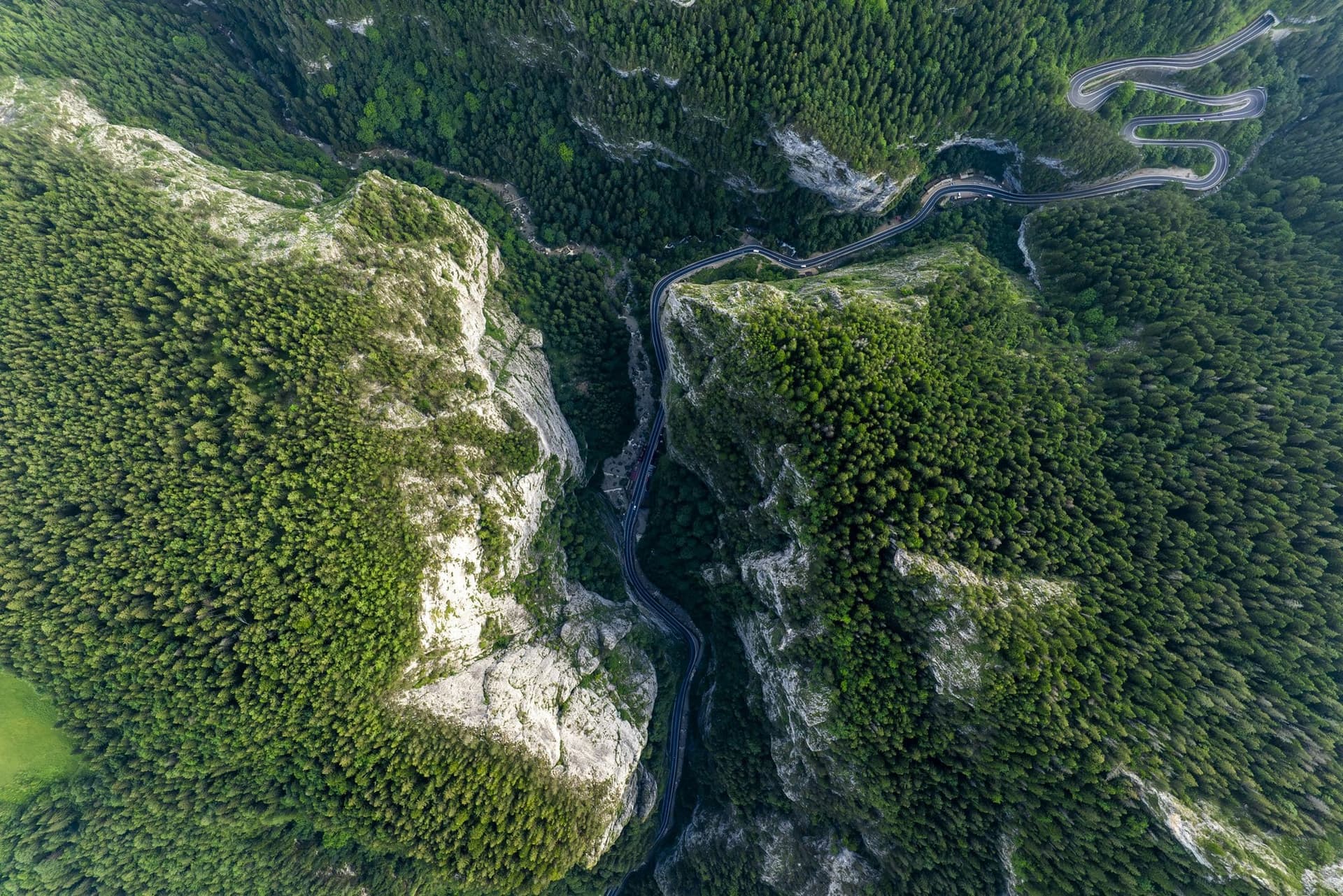
Piatra Altarului
Above the second sector stands Piatra Altarului, the Altar Stone. The first ascent was made on 8 September 1934 by two men from Brașov, Erwin Csallner and Waldemar Johann Goldschmidt, watched by several hundred people gathered in the valley.
Only Csallner reached the summit that day. Goldschmidt, past forty, stopped on the last ledge and climbed it only the following summer, on 8 July 1935.
Lacu Roșu and the Transylvanian end
The road leaves the limestone at Lacu Roșu, the Red Lake, listed as a resort of local interest. The lake formed in the summer of 1837, when a piece of the slope dammed the valley — some authors also attribute the landslide to the earthquakes of the following winter. The lake's name comes from the mountain, not from the legend of the murdered girl: Orbán Balázs wrote in 1868 that the lake had been named after the mountain above it, and that the mountain bore the name before the lake existed.
Higher up, the road climbs to the Pângărați pass and drops into the Giurgeu basin. Behind it the villages are left. Bicaz-Chei has more than five thousand sheep, which in summer go up above 1,200 metres. Bicazu Ardelean had 4,030 inhabitants at the 2011 census and 3,236 at the 2021 one — almost a fifth gone in a decade.
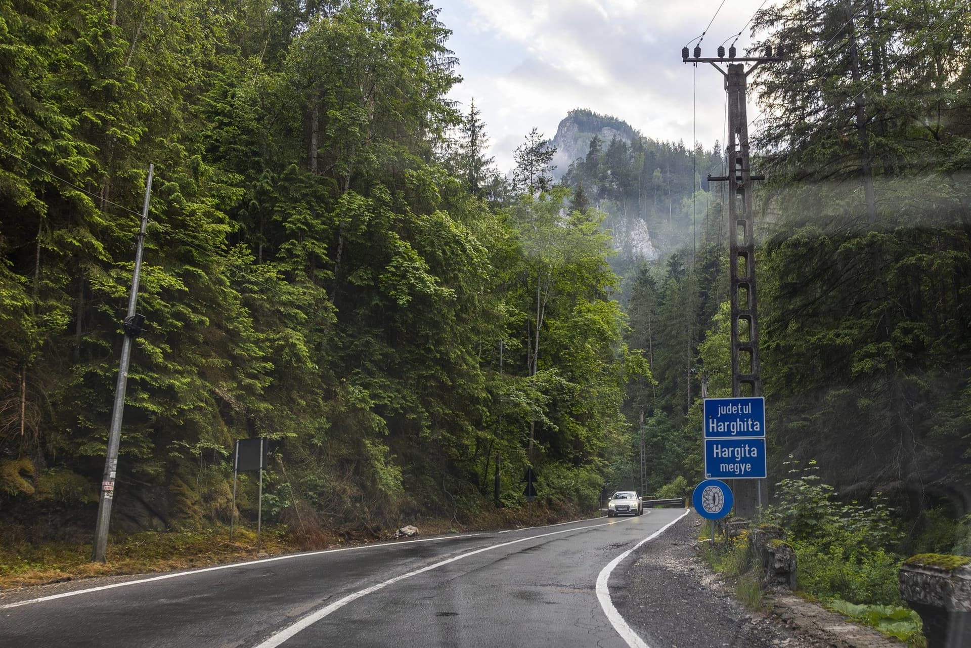
Where one county ends and the next begins was litigated here for some fifteen years. In November 2024 the High Court of Cassation and Justice (Înalta Curte de Casație și Justiție) rejected the last extraordinary appeal, and the gorge remained part of Neamț County. The sign that separates the counties stands a few kilometres higher up, next to an electricity pole.
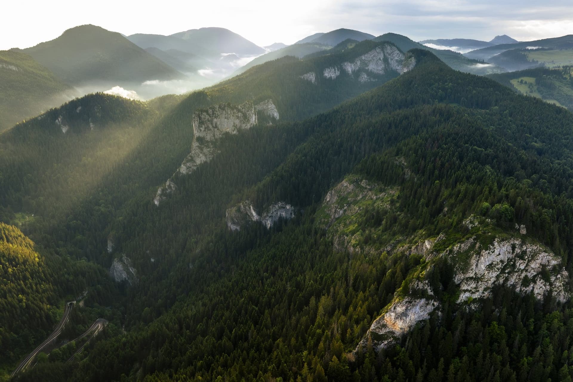
Down this road came the wood that pianos were made from, in Berlin, in Paris and in London. Everything now sold at its edge came up.
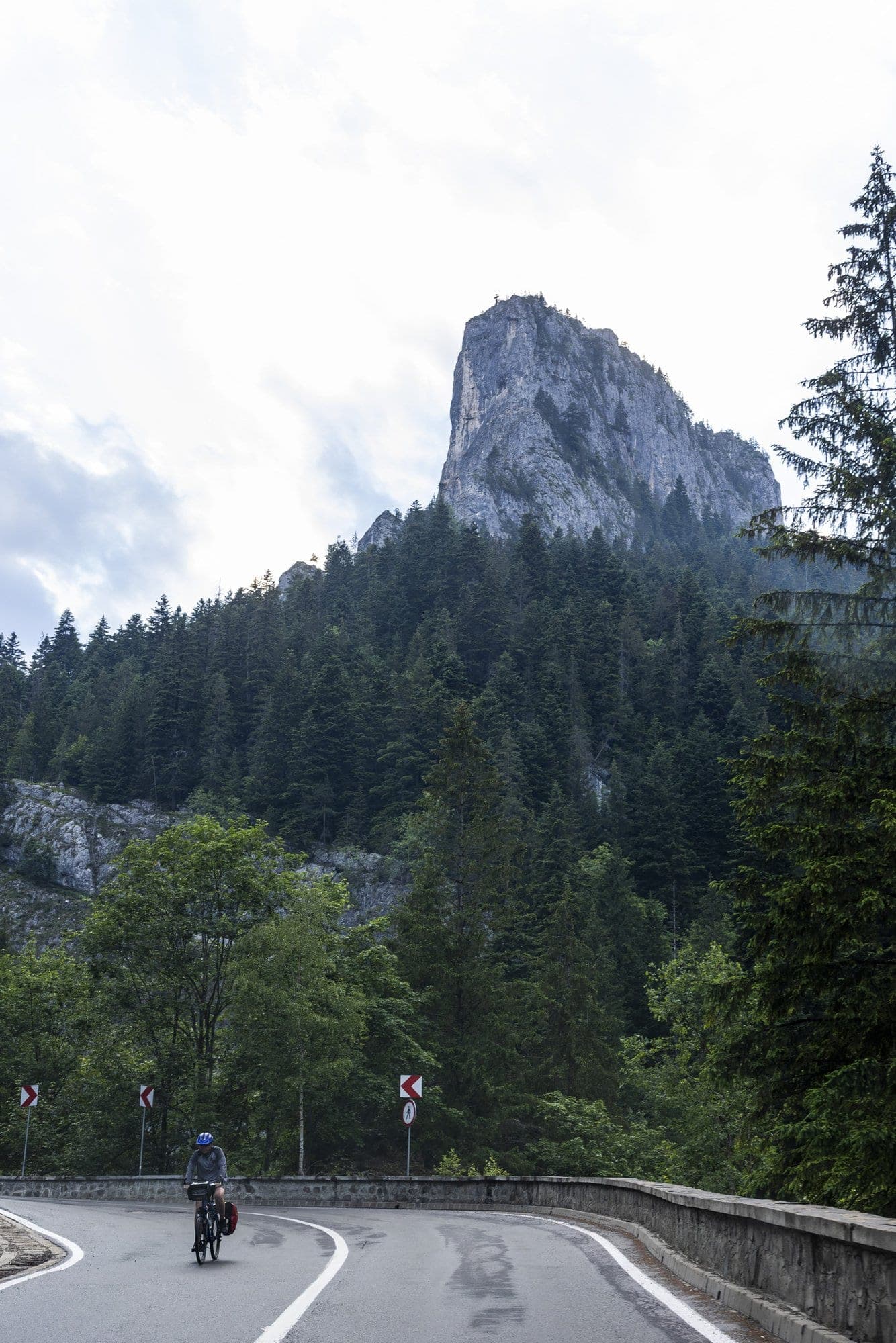
Below, a cyclist with panniers on the rack is climbing through the gorge. He does not get down from the saddle.
Photographs my own, taken with a drone and from road level on the evening of 25 June 2026, between kilometres 26 and 34 of DN12C, in a single outing. The villages discussed in the text are not illustrated — I have no photographs of my own from there. The field observations — the stalls shut in the evening, the 30 limit and the falling-rocks triangle, the consolidation works under way, the tunnel plate, the county sign — come from that outing; the historical, administrative and statistical documentation rests entirely on written sources, listed below. I did not speak to anyone along the road.
---