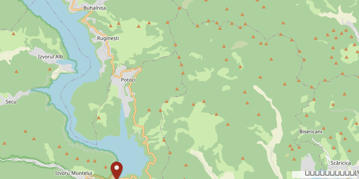

A report from Lake Izvorul Muntelui, sixty-five years after the flood. Part one: how it was built, with villages displaced, churches dynamited and forced-labour colonies. Part two: the sea between the mountains as it looks today, from a drone and from the water.
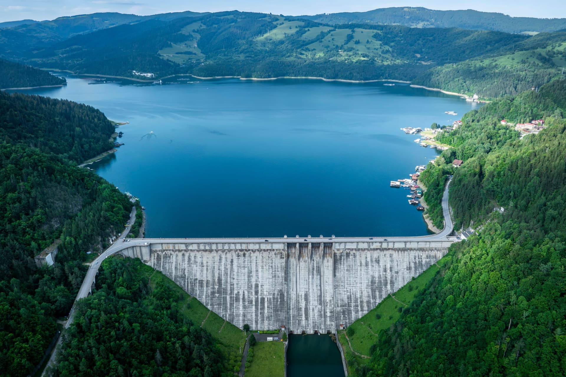
At the foot of Ceahlău, beneath a mirror of water as long as the road from Constanța to Olimp — or as long as Lake Lugano, for the reader unfamiliar with the Romanian seaside — lie dynamited churches, cemeteries moved by night and the memory of nearly nineteen thousand uprooted people. Above them, for more than six decades, the concrete has been generating the output of a hydroelectric plant that, in its first fifty years of operation, poured more than twenty billion kilowatt-hours into the national grid.
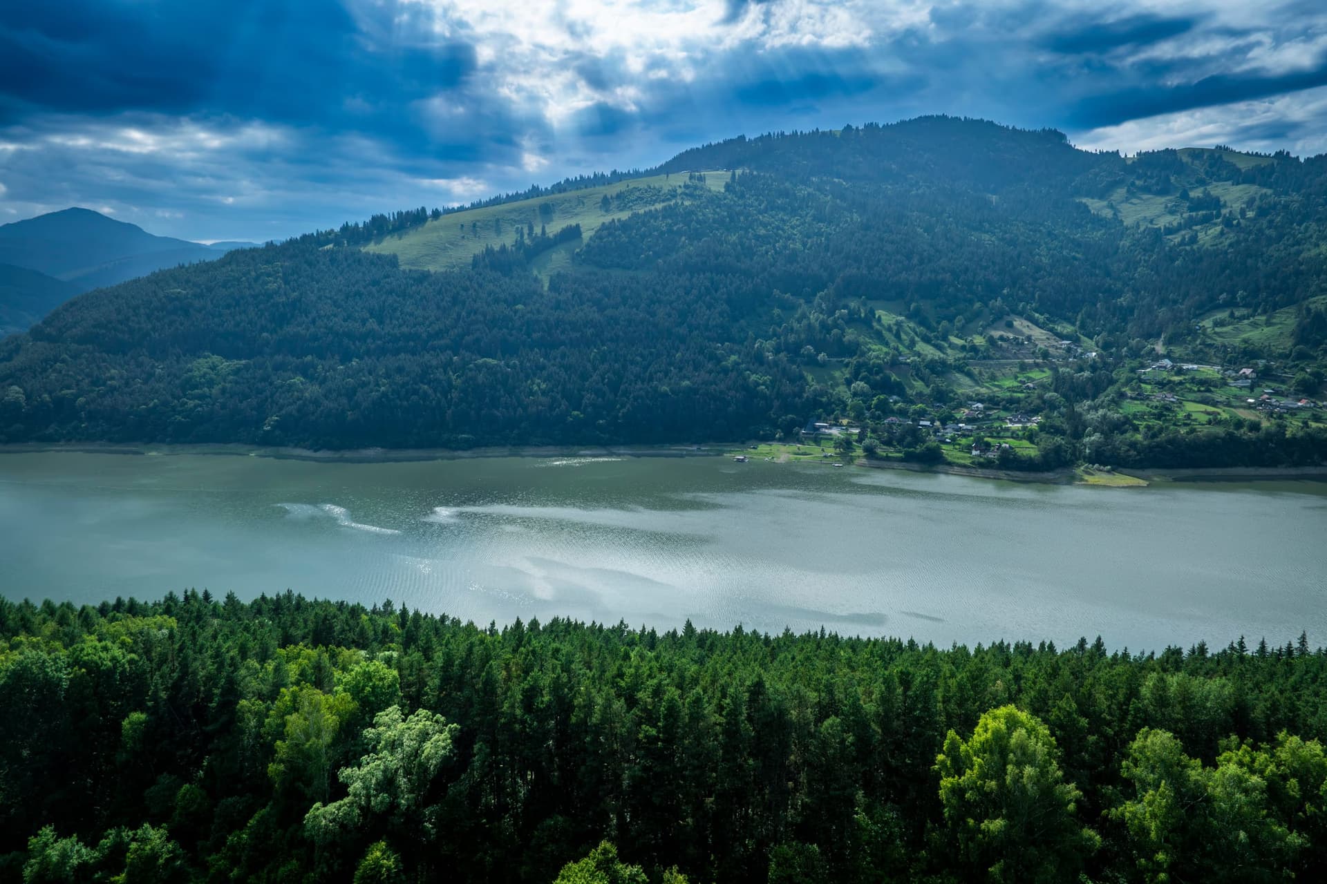
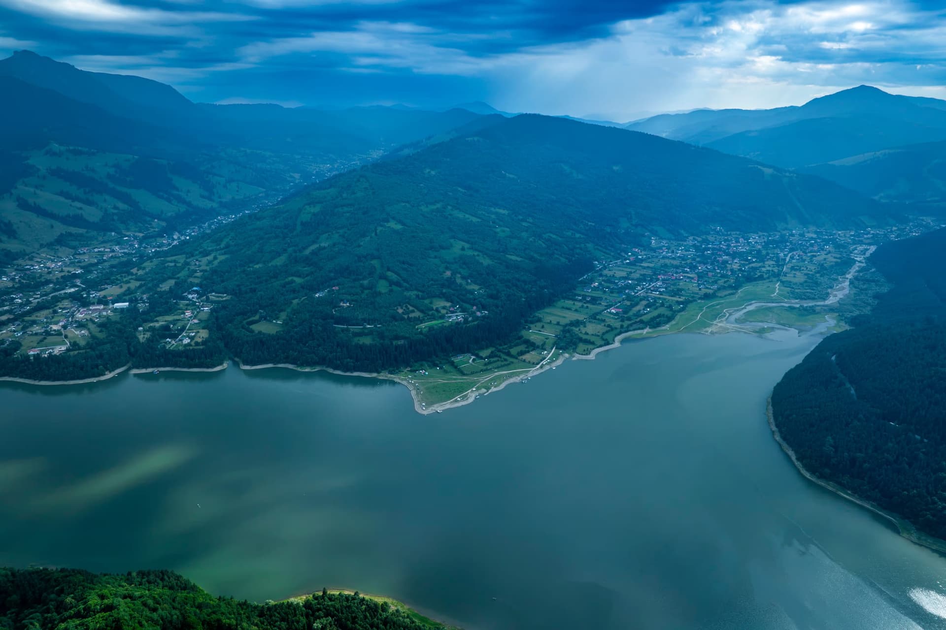
When the wind cuts across the surface of the lake against the sun, at dawn, the Ceahlău massif tips over onto the water like a limestone cathedral. Tourists now pull in at the pontoons of Potoci, at Buhalnița, at the viaduct at Poiana Largului — places whose names, until the 1950s, meant something else entirely: homesteads, wooden churches, lanes where children ran barefoot among cows brought down from the mountain. Today those villages are a legend whispered by grandparents, and a line of foundations that breaks the surface only when Hidroelectrica decides to lower the water level.
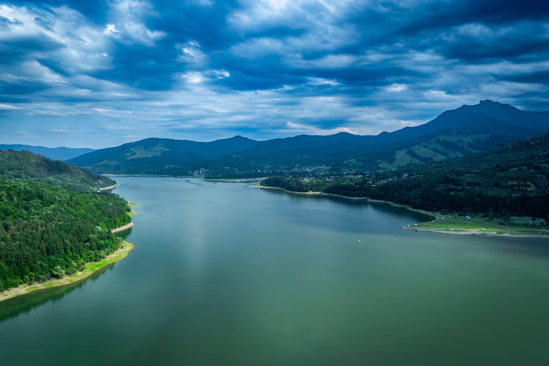
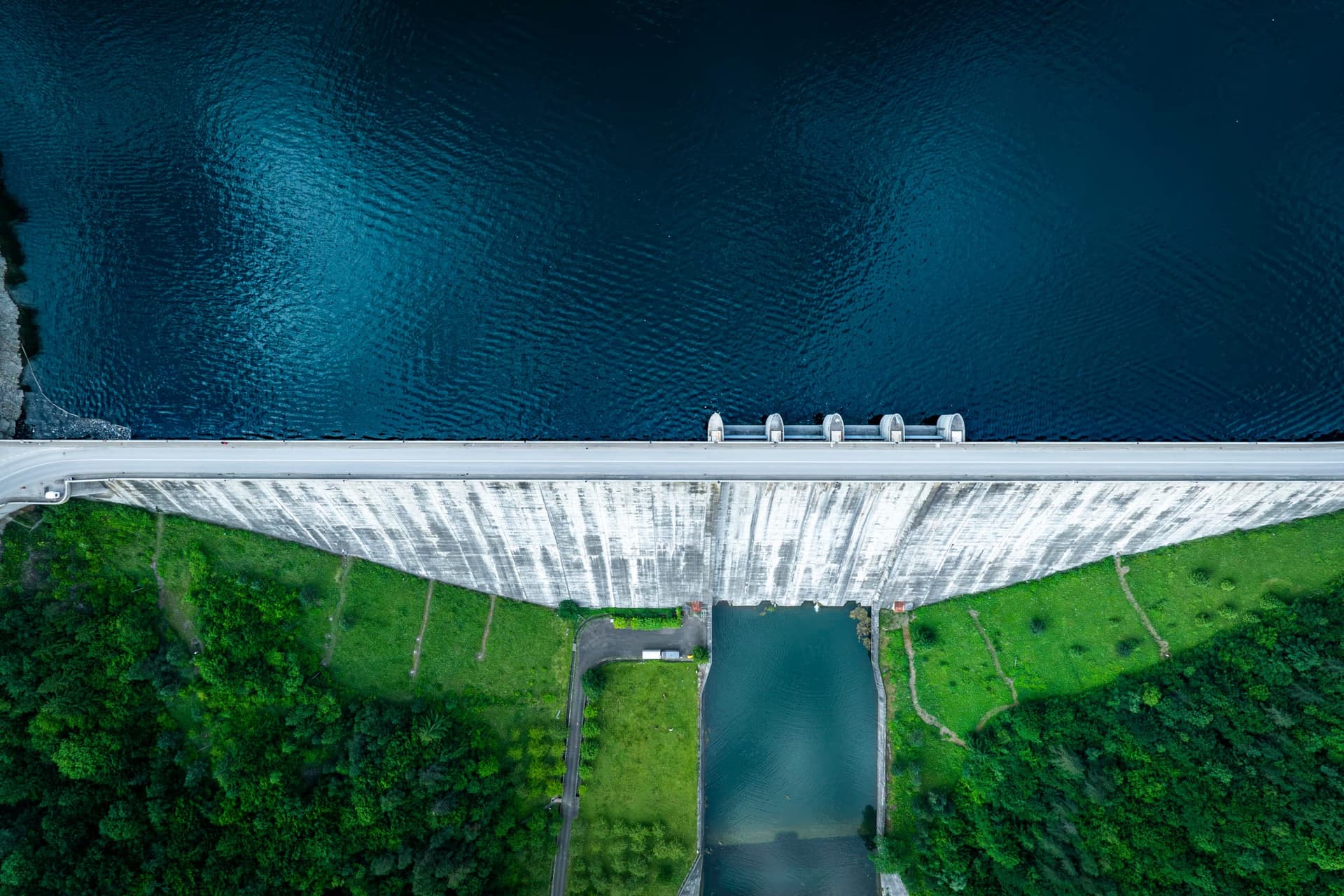
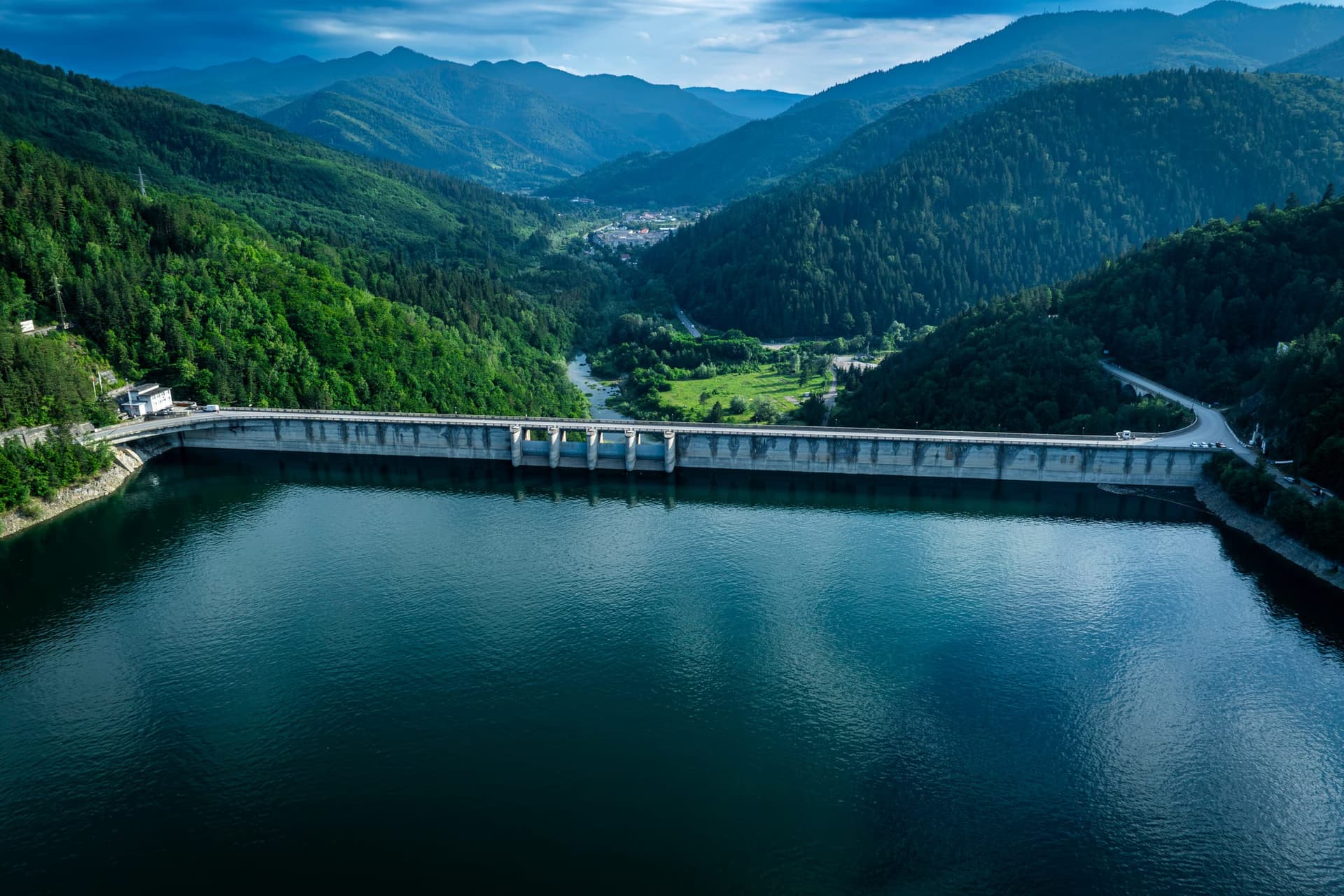
Lake Izvorul Muntelui — popularly known as Lake Bicaz — is the largest reservoir built on Romania's inland rivers. It is roughly 35 kilometres long, with a surface area of about 32.6 km² and a volume of nearly 1.23 billion cubic metres of water. Behind it stands a concrete dam 127 metres high, 30 of them below ground, 435 metres long at the crest and 119 metres wide at the base. Thirty massive blocks of concrete, raised between 1950 and 1960, separated by joints sealed with reinforced-concrete keys and copper sheeting, hold back a pressure that the engineers, in their cold idiom, call a "retention regime".
In the language of the people, it goes by another name: loss.
Part I · The Flood
The Dream. From Berlin to Bicaz
The idea did not belong to the communists. It belonged to a young Romanian engineer completing his diploma thesis at Berlin-Charlottenburg in 1908: Dimitrie Leonida. His project envisaged a hydroelectric plant at Stejaru, in the commune of Pângărați, fed by a dam at the confluence of the Izvorul Muntelui with the Bistrița. In Leonida's version, the flooded area would have covered some 1,678 hectares — modest, designed not to compromise timber rafting on the Bistrița, the region's staple occupation.
Between the wars, in the orbit of the royal family, Bicaz had become an elegant mountain resort, part of the Crown Domains. After the communist regime took power, Leonida's plan was revived and amplified. On 26 October 1950, the plenary session of the Central Committee of the Romanian Workers' Party approved the ten-year national electrification plan; less than three weeks later, on 13 November 1950, by Council of Ministers Decision no. 1182, the construction of the dam was decreed. Initially, the complex was to bear the name "Vladimir Ilici Lenin".
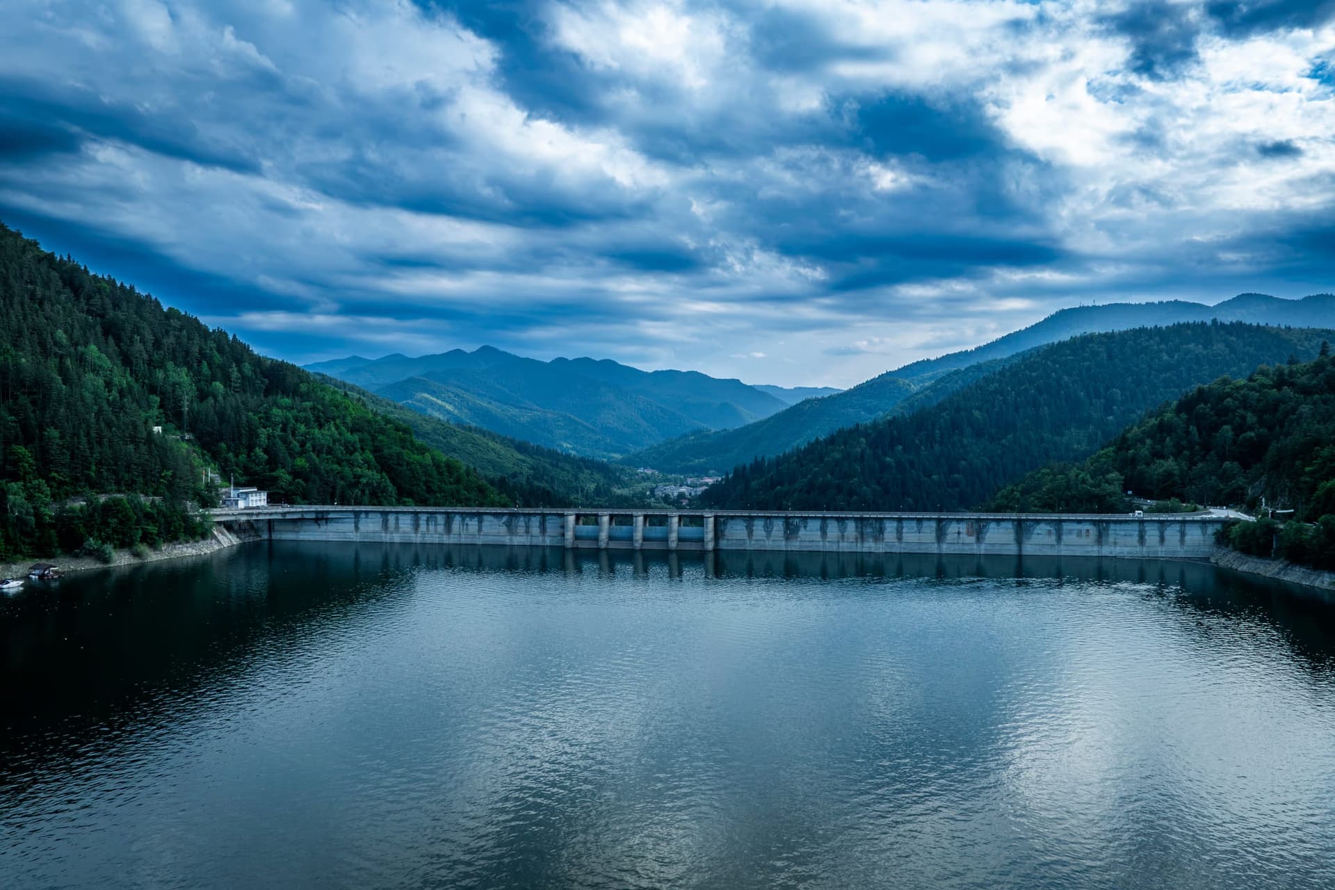
The Worksite. Barbed Wire, Young Brigadiers and the "School of Life"
Over the course of a decade, more than 15,000 people came to the Bistrița valley. Not only free workers — engineers, geologists, miners, electricians, young brigadiers from every corner of the country — but also political prisoners and "labour soldiers" — conscripts deemed politically unreliable, who served their military term with a shovel, on the worksite, rather than with a rifle.
A CIA note from 1952, preserved in the archives, described two companies of "prisoners" housed in a camp on the edge of Bicaz, ringed by three rows of barbed wire and guarded by armed soldiers; three to four thousand people, classed as political detainees or suspected saboteurs, were working on the extension of the railway line to the cement factory. Locals remember two colonies: one at Dodeni, for those pouring the body of the dam and digging the upstream section of the headrace tunnel; another in the Ciungi quarter (where the stadium stands today), for those on the railway embankment. To these was added, by the end of 1959, a detachment of 1,200 labour soldiers at the dam and a further 400 at the cement factory and the Stejaru hydroelectric plant.
The number of the dead is not known with any precision. Many accidents were never reported. Documents from 1951, preserved in the Open Society archives, flagged outbreaks of typhus and typhoid fever among the workers and technicians, in hygiene conditions described as "almost totally deficient". The painter Iulia Hălăucescu — known as "the lady of Romanian watercolour" — left a chronicle in 200 plates, "The Epic of Bicaz", in which one can also see what never appeared in the official newsreels of the day.
At the end of the dam, the Association of Former Political Prisoners of Romania — Neamț Branch has raised a memorial cross for those who were forced to work here and who suffered or died on the site.
The Displacement. "Six Villages at a Time, Twelve Thousand People"
For the water to fill the basin of the future lake, the hearths of 22 villages along the Bistrița valley had to be emptied. The displacement began in 1956 and unfolded, like the worksite itself, over nearly a decade. The official figures, cited constantly in the specialist literature, are dry: 2,291 households moved, 18,760 people displaced, 466 of them scattered across 80 localities throughout the country.
Three villages disappeared entirely beneath the water: Reteș, Letești and Cârnu. Whole sections of Răpciuni, Izvorul Alb, Hangu, Buhalnița, Secu and Poiana Largului were "torn" from their communities.
In the recollections of the professor-engineer Iulian Bălăunțescu, who documented the history of the worksite, meetings were held at which "half the Government at a time" would arrive to persuade people to leave. The freeholders of the Bistrița refused the land offered in the Bărăgan, in Vaslui or Huși — they said the water there was "brackish" and that they would "die without the mountains". So the Metropolitan of Moldavia issued an order which, in this deeply religious region, counted for more than the decisions of the Council of Ministers: the churches would leave first. And leave they did — on foot, on wheels, carried by hand.
Some churches could be relocated. The wooden church of Chirițeni was dismantled and reassembled; the old church of Răpciuni can be seen today at the Village Museum in Bucharest. The Buhalnița Monastery was raised anew on higher ground. But the stone church at Hangu — barely finished and newly consecrated — was dynamited. Father Mihai Damian, former archpriest of Ceahlău, recalled that people knelt and prayed for the explosion to fail. When the level of the lake drops far enough, the thick foundations of that church resurface.
In parallel, there appeared what locals still call the "Road of the Dead". A year before the inauguration, the priests of the villages of Hangu and Fârțagi urged their parishioners, at Sunday service, to move their dead to the new cemetery on Chirițeni Hill. The unidentified remains were reburied in a common grave.
1 July 1960, 7:21 p.m.
On that summer evening, with Dimitrie Leonida present — old, but alive to see his project fulfilled — the gates of the valves came down and the waters of the Bistrița began to accumulate. The lake formed. In October, the first unit of the Stejaru hydroelectric plant delivered power. For the whole scheme, more than 3 million cubic metres had been excavated, of which nearly half in rock and roughly 700,000 underground; the body of the dam itself contained 1.65 million cubic metres of concrete and reinforced concrete.
At that date it was the fourth-tallest gravity dam in Europe and the largest in Romania — a title it would surrender, on the Danube, only in 1972, when Porțile de Fier I was inaugurated. On Romania's inland rivers, however, Bicaz has remained to this day the tallest gravity dam. To grasp the scale, it is worth setting it beside other emblematic structures: Bicaz rises 127 metres — just ten metres less than the Great Pyramid of Giza, which has dominated the Egyptian plateau for four and a half millennia. Against the Hoover Dam, completed in 1936 at 221 metres and considered in its day the absolute symbol of hydraulic engineering, Bicaz is shorter — but it was raised in the same logic: a massive wall of concrete damming a river to make electricity. The difference is that Hoover was built on the Colorado, in a canyon already carved by nature; Bicaz had to make its own basin, at the price of 22 villages.
Bicaz officially became a town. The engineers who worked there conceded, years later, that it had been, paradoxically, one of the few great works of communism to follow the technical design rigorously.
The Economy. Power, and an Industry Around the Cement Factory
The Stejaru hydroelectric plant — officially named "Dimitrie Leonida" since 1990 — was the largest hydroelectric plant in Romania at the time of its inauguration. With an initial installed capacity of 210 MW across six generating units, it feeds an average of 434.5 GWh a year into the national energy system. By its 50th anniversary it had logged more than 20,500 GWh.
Around it grew an industrial combine: at its peak, two cement factories, two lime works, an asbestos-cement plant and two stone quarries, with roughly 3,500 employees. Through the associated works at Tașca, the system also supplies water to the cement factory, along with flow for regulating the Bistrița, attenuating floods and irrigation downstream. The "legend of Bicaz" continued in the following decades with the construction, further down the river, of another 12 hydroelectric plants — the Bistrița being the first watercourse in Romania to be fully harnessed along its middle and lower reaches.
Today the complex is entering a new era. Hidroelectrica is refurbishing the Stejaru plant: units 5 and 6 have already been modernised, and capacity has risen to 218.25 MW. On 10 September 2025, a contract worth 97.5 million euros excluding VAT was awarded to Hidroserv for the refurbishment of the four remaining units and the general installations — with a completion term of 66 months. Another contract, worth 16 million euros, also signed in 2025 with Electromontaj, covers the pressure node and the four butterfly valves, 4.2 metres in diameter. The modernisation process, begun in 2015, will in total take longer than the original construction of the dam — proof that contemporary bureaucracy is, in its own way, another kind of dam.
Part II · The Sea Between the Mountains, Today
In 2000, the lake was declared an aquatic nature reserve. The microclimate of the depression has a mean multiannual temperature of about 8°C — above the average for intramontane depressions in the Carpathians — air rich in natural aerosols and a sheltered position out of the wind, which made the area a health-and-leisure destination as early as the 1900s.
Today the visitor arrives most easily on the DN15, from Piatra Neamț, up the hairpins that climb to the crest of the dam — the road runs straight over it. On the lake float pleasure boats, launches of the Ceahlău Nautical Club, pedalos, jet-skis. It is the only place in Moldavia where scuba diving is possible, and the only mountain town in Romania where Navy Day has been a tradition since the 1960s.
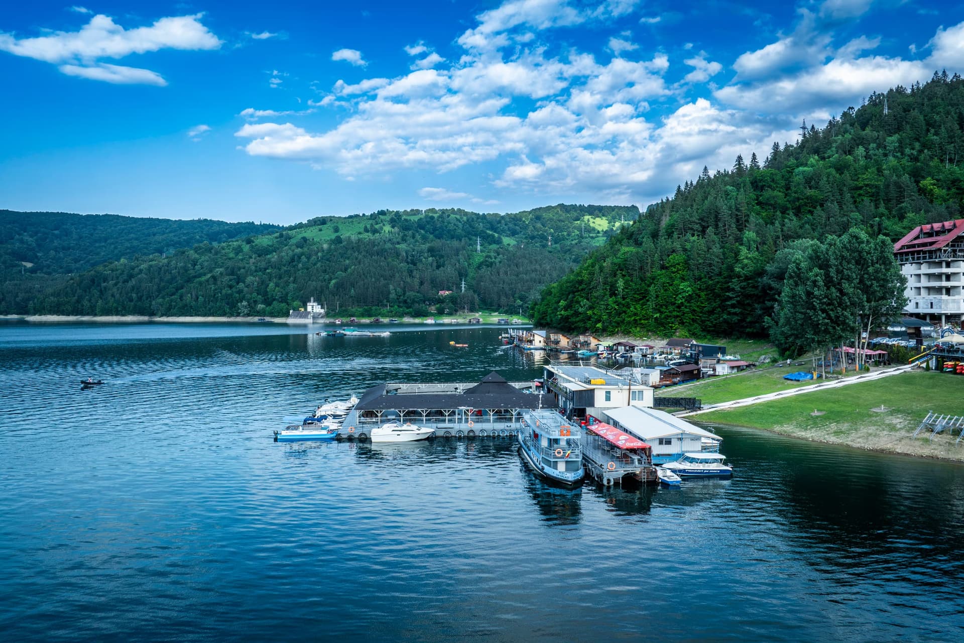
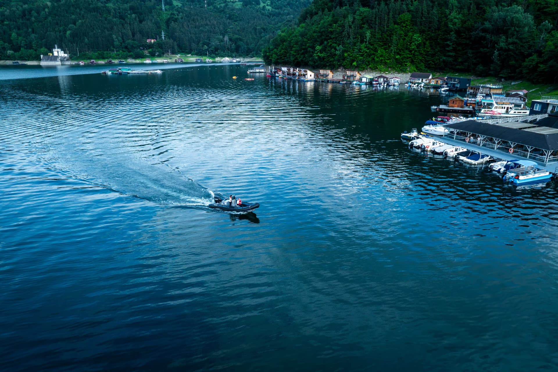
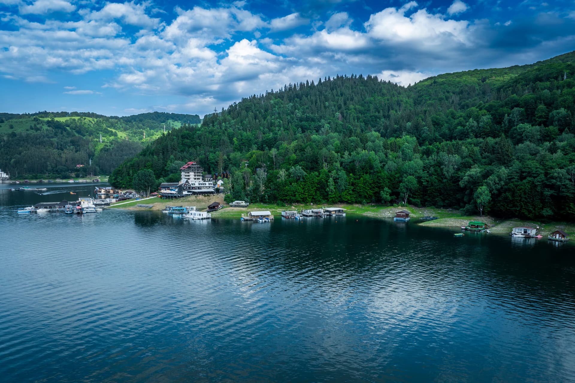
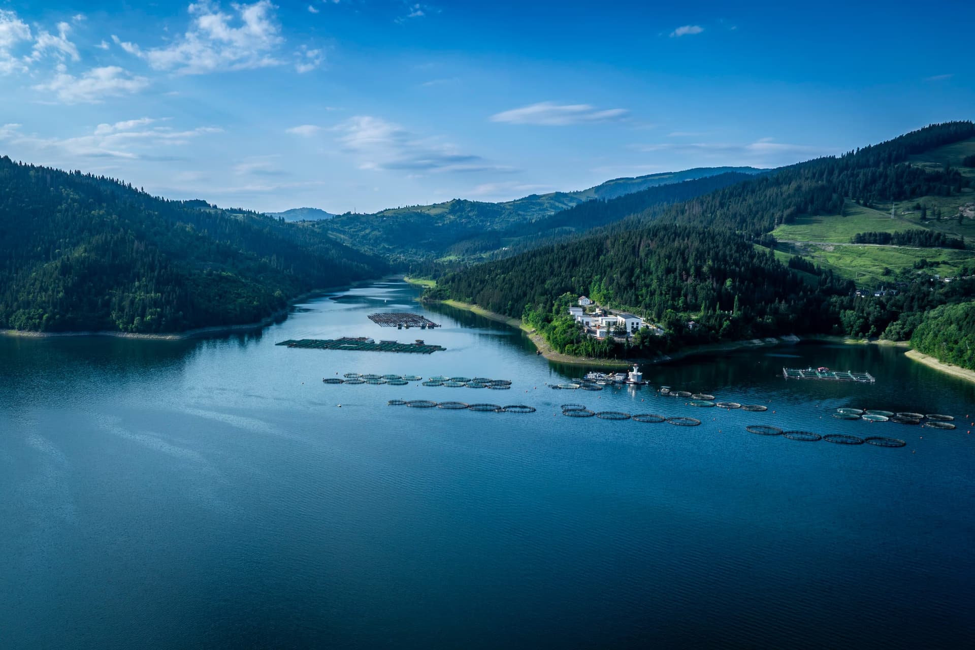
The lake is not fished with rod and line, as one might expect — its permanent crew are the trout farmers. Their farms, floating cages anchored in the more sheltered bays, look from the air like perfect rings drawn on the water. At Potoci operates one of the oldest farms in the area, alongside the "Petre Jitariu" Biological Research Station of the "Alexandru Ioan Cuza" University of Iași — visited in 1993 by Jacques-Yves Cousteau, accompanied by part of his team; the station was equipped with a bathyscaphe used for underwater research. The trout raised in the lake's cold water ends up on the tables of the guesthouses on both shores — the most local product imaginable, farmed above the drowned villages.
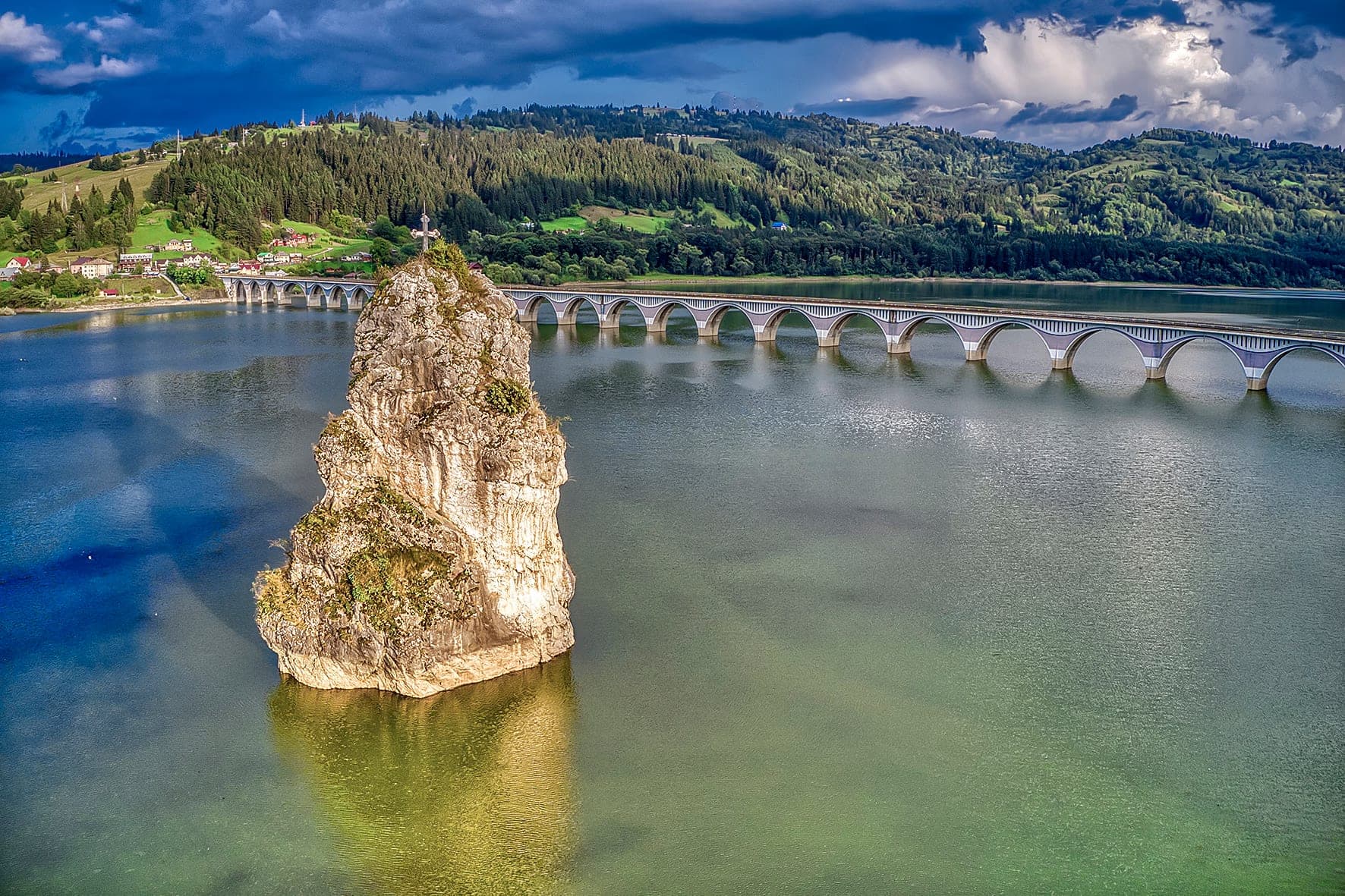
At the northern end of the lake, in plain view from the Poiana Largului viaduct — 634 metres of concrete arches built at the same time as the dam, over the old bed of the Bistrița — a solitary limestone crag, 23 metres tall, rises from the shallow water. Locals call it the Devil's Rock; on paper it bears the name Piatra Teiului — after the lime tree that grew, against all botanical logic, at its summit. Declared a natural monument as early as 1951, it now holds the status of a geological reserve. A cross is fixed on the top, raised by villagers after the schoolteacher Pristavu died in 1949 attempting to climb it. Three legends have been woven around it, all with the same kernel: the devil tore a rock from Ceahlău to dam the Bistrița and drown mankind, but was caught by the cock's crow at dawn and dropped it here. Alecu Russo fixed the story in literature in the nineteenth century; Sadoveanu slipped it into "Baltagul" (The Hatchet) — in the novel, Nechifor Lipan meant to carve a cross to set on its summit. Those who pass through Poiana Largului say that, some nights, the rock shifts a few centimetres. The specialists offer a more prosaic explanation: the lake's changing water level creates a perfect optical illusion.
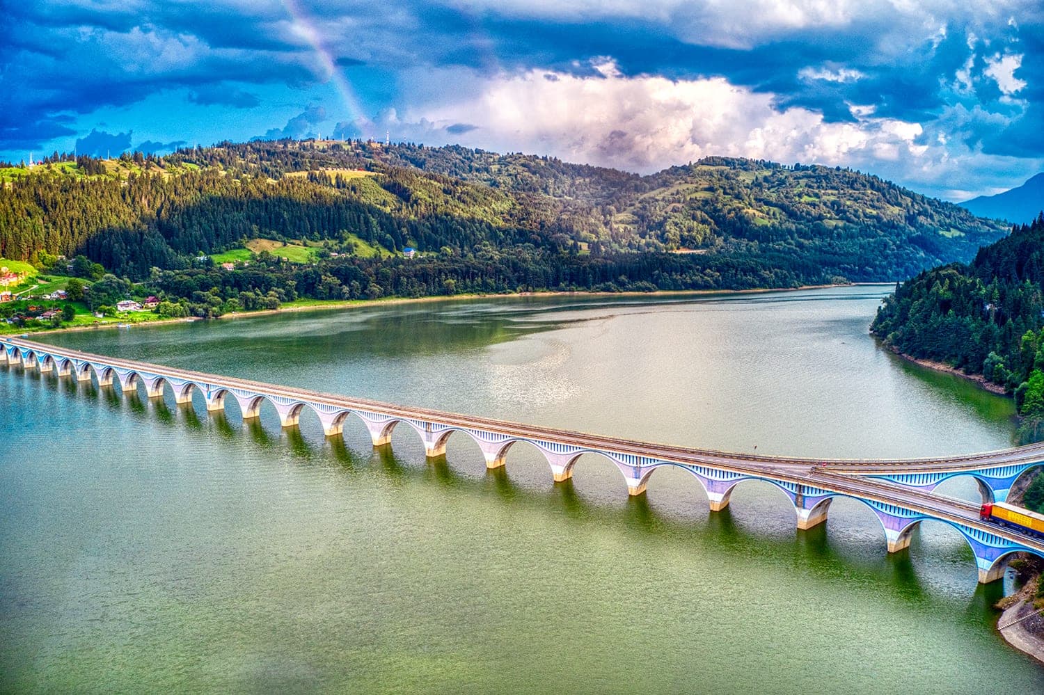
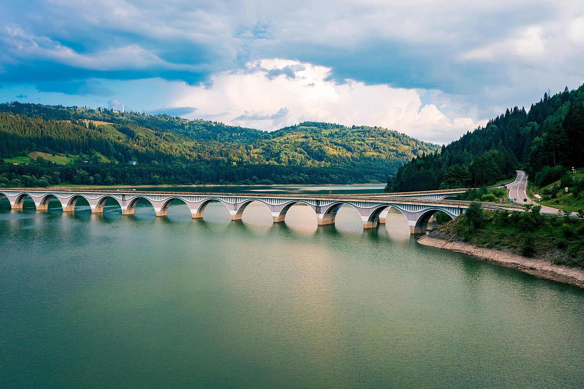
The lake is only a gateway. Around it unfolds an entire circuit: the Bicaz Gorges and Lacul Roșu on the DN12C, the resort of Durău and the Ceahlău Massif with Toaca Peak (1,904 m), the Buhalnița Monastery, the Petru Vodă Monastery, the wooden Church of the Three Hierarchs at Poiana Largului, the Comarnic Plateau. Guesthouses have multiplied along the DN15, on both shores.
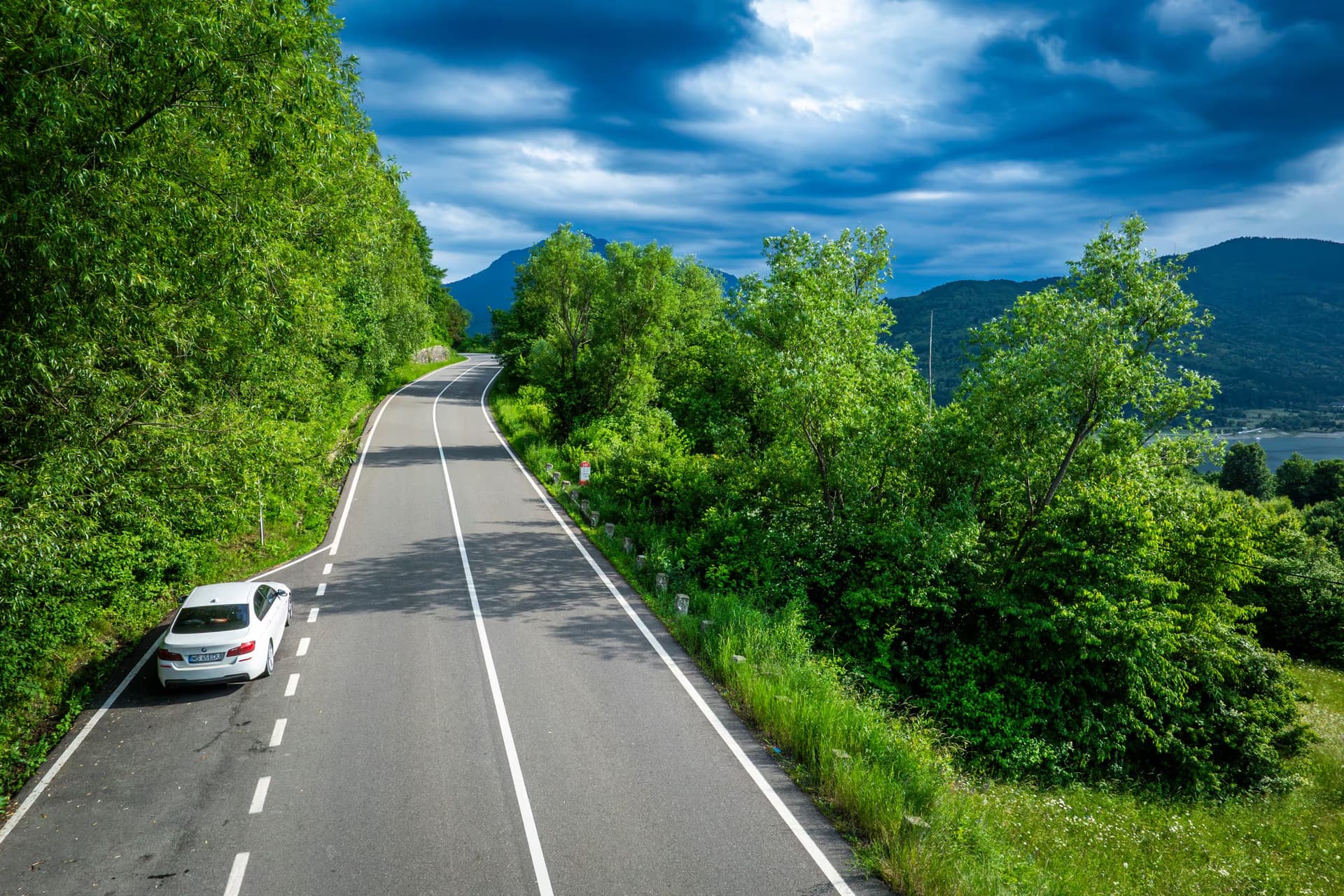
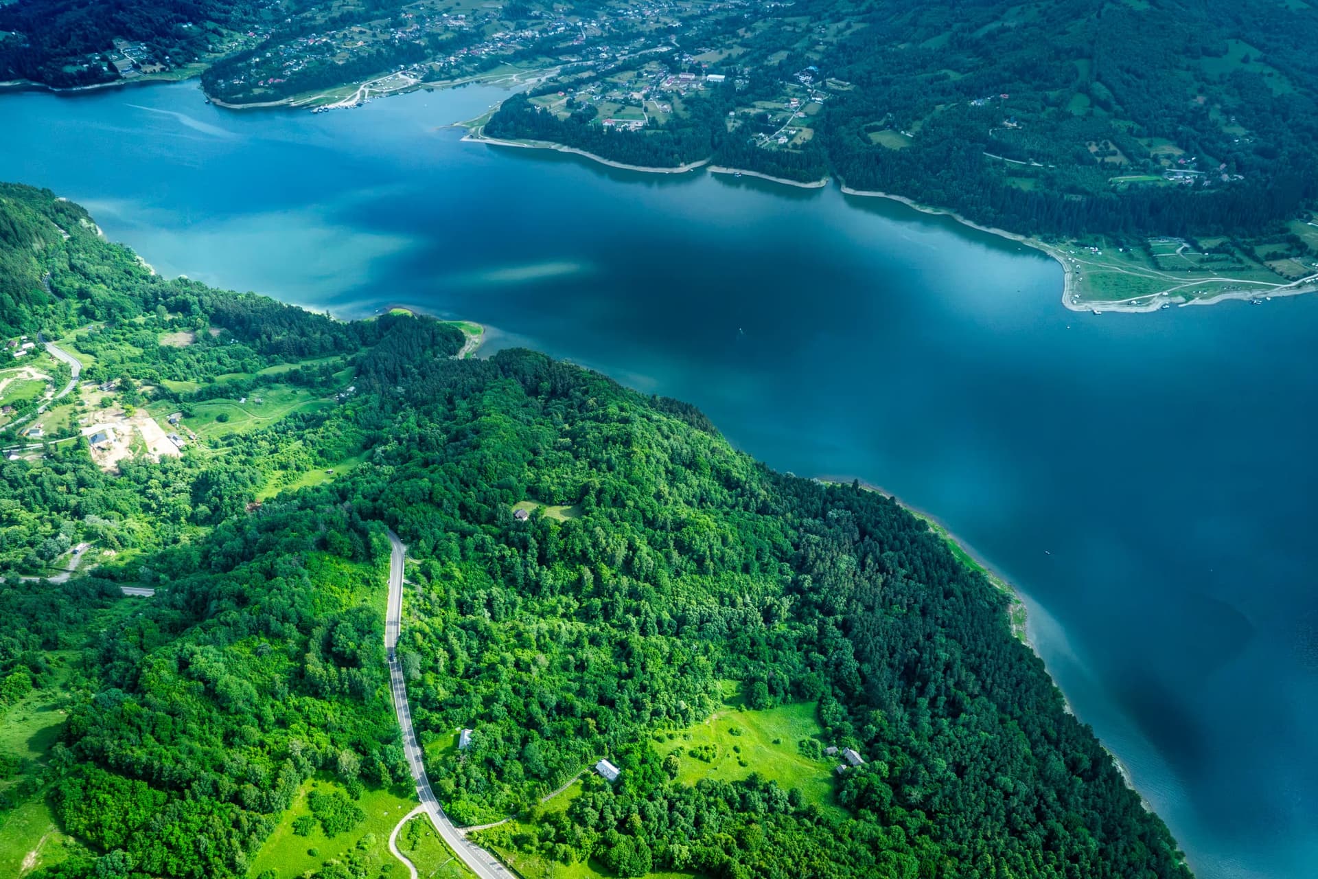
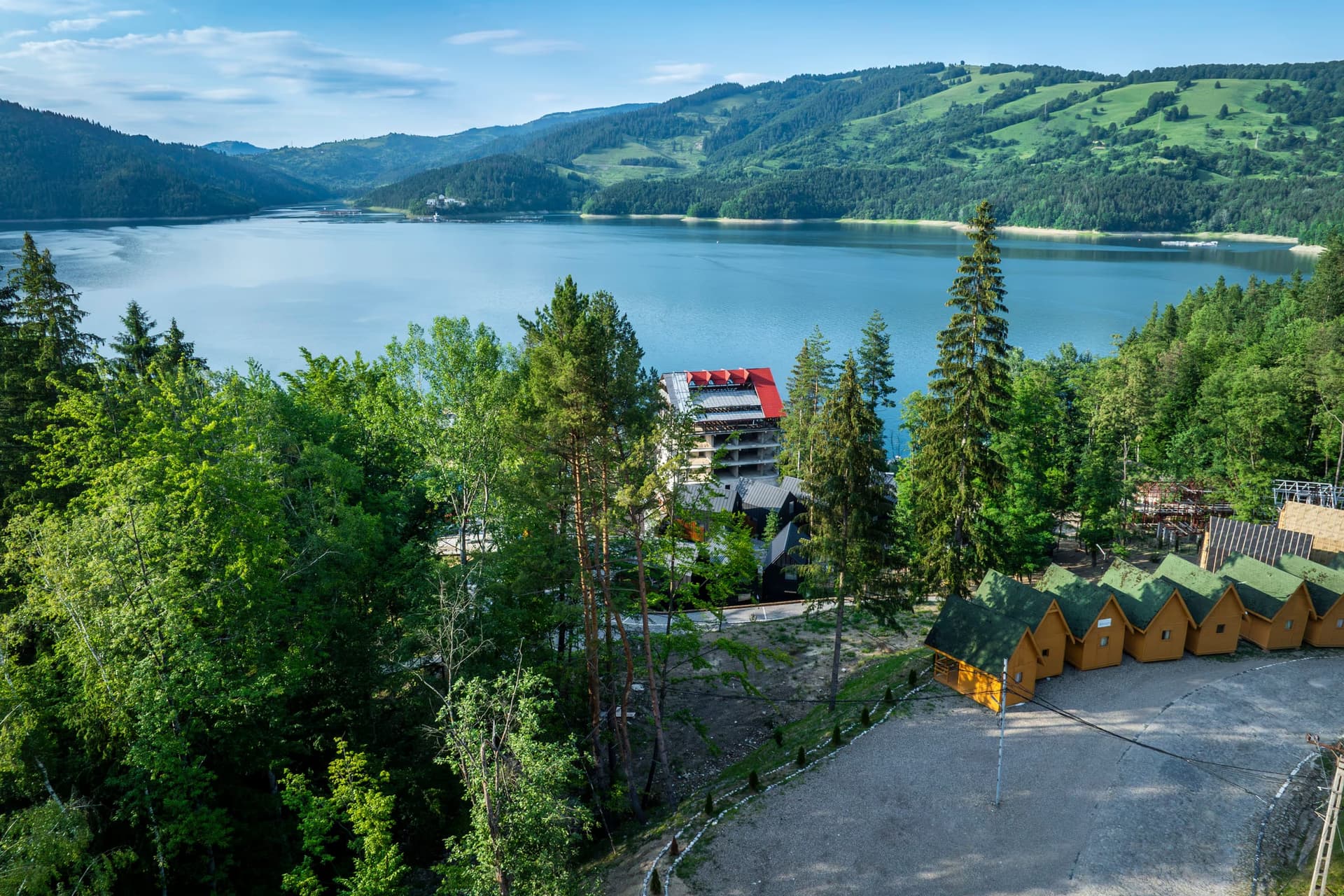
And the energy story is not over: the lake is set to become the lower reservoir of a pumped-storage hydroelectric plant at Frasin-Pângărați — 300-340 MW, with the powerhouse buried some 400 metres beneath the mountain — a project that received its environmental permit in May 2026 and in which Hidroelectrica intends to take a half share. Sixty-six years after it swallowed a valley, the "sea between the mountains" is on its way to becoming Moldavia's battery.
The Reckoning
The dam holds. It passed the test of the 1977 earthquake without structural incident. The seismograph installed in its body is so sensitive that it also recorded the Samoa earthquake of 29 September 2009 — the one that generated the devastating tsunami in the South Pacific. Thirty blocks of concrete, kilometres of galleries lined with measuring instruments, triple systems for checking horizontal and vertical displacement, including a pendulum system. According to the seismic reassessments carried out after 1977, the structure can withstand earthquakes beyond the maximum threshold the Vrancea zone is capable of generating. At the crest it has four spillways, and at the base four bottom outlets fitted with ring-follower gates 2.5 metres in diameter.
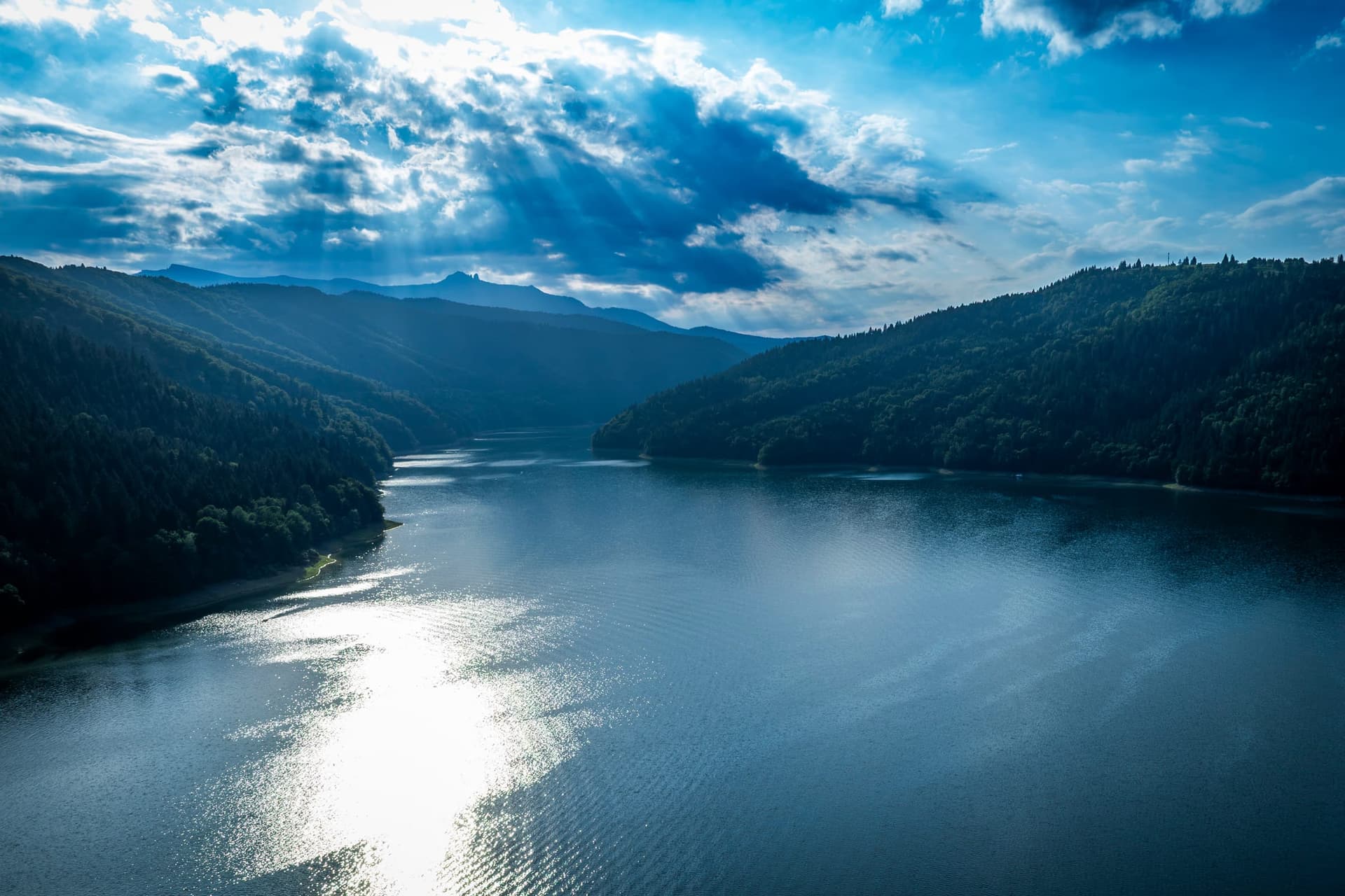
But the concrete does not tell the whole story. For the survivors of the displacement — those who were 20 in 1956 and are nonagenarians today — Bicaz remains an edge along which two lives were divided. "Father kept saying he wouldn't move from there until the water reached the doorstep," recalled Neculai Aflorii, displaced from Răpciune. "One morning we woke up with soldiers on the roof."
A report on any journey through Neamț could stop at the scenery — at Ceahlău's reflection in the water, at the trout farmers' cages, at the viaduct cutting across the Poiana Largului bay like a whale's rib. It would be accurate, but it would be half the truth. The other half of the story lies lower down, beneath the water: church foundations that reappear at low water, remains moved by night along a road the people named after those it carried, a cross raised discreetly at the end of the dam.
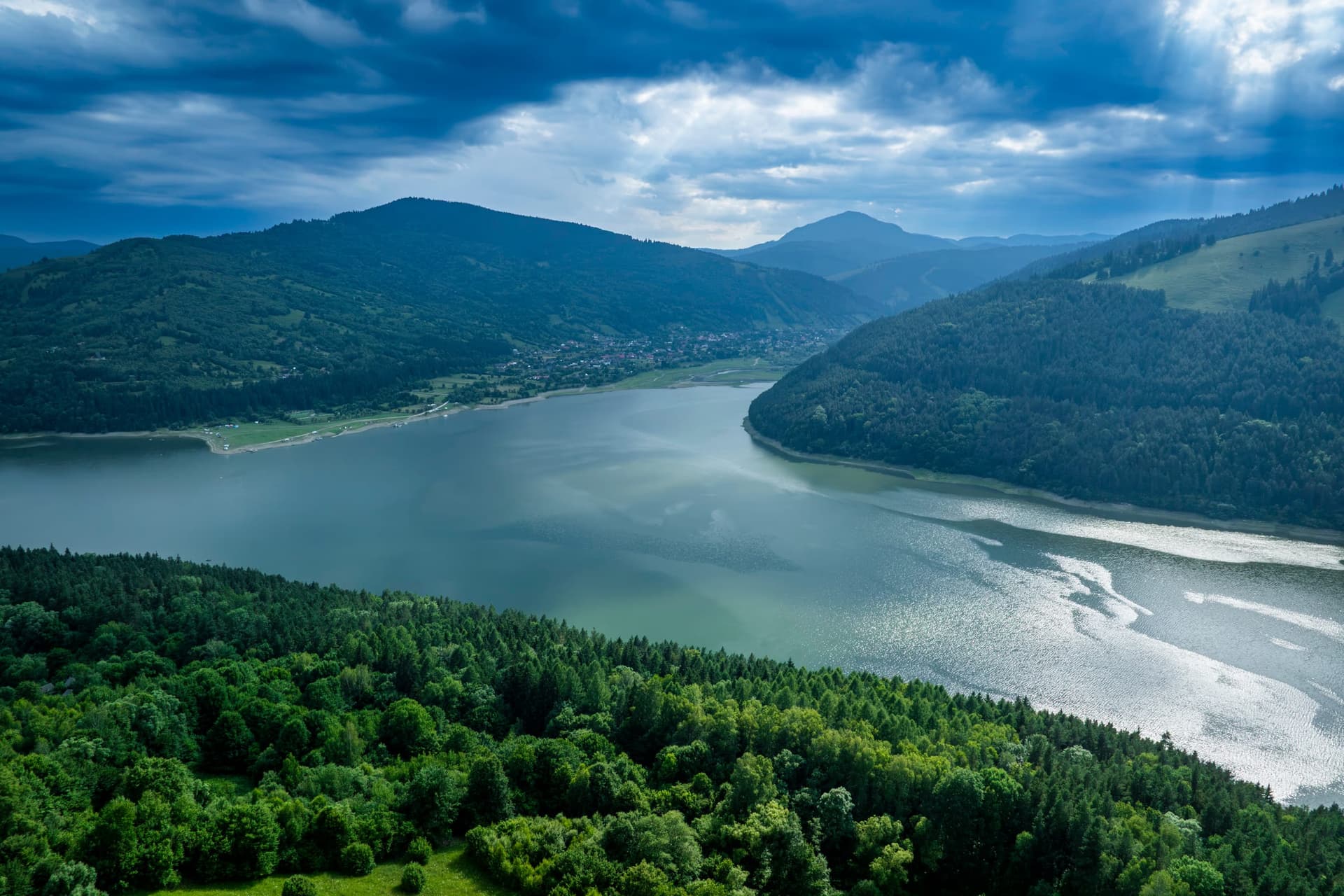
Lake Izvorul Muntelui produces green energy, keeps the Bistrița's floods in check, supplies quarries and factories, draws tens of thousands of tourists a year. On the official record, it has done exactly what it promised to do. Its cost — human, cultural, communal — does not appear in Hidroelectrica's annual reports, but it goes on showing itself, year after year, whenever the water level drops and the old walls come back into the light, like an unpaid receipt.
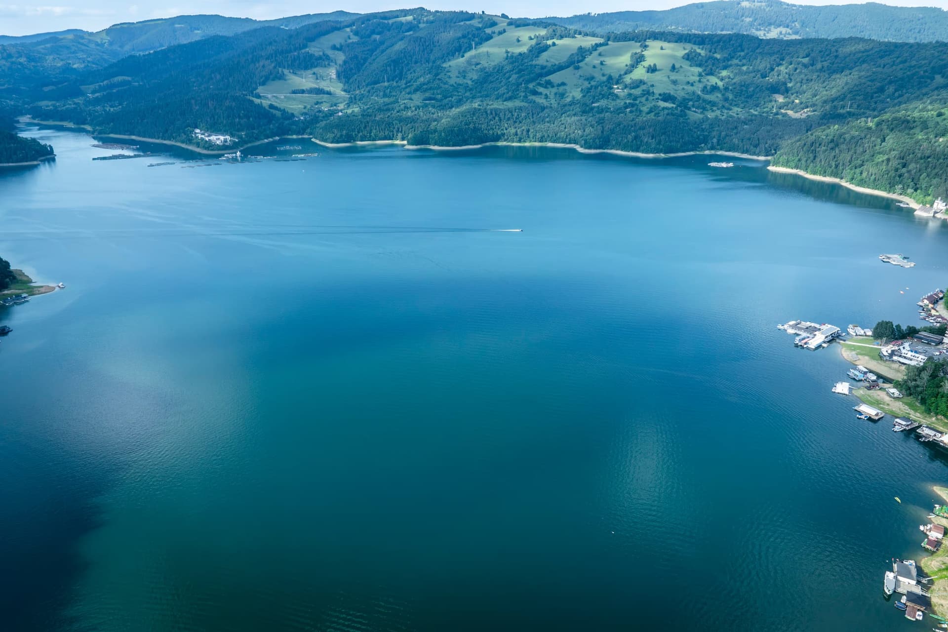
Photographs taken by drone and from the water in the summer of 2026, between the Izvorul Muntelui dam and Poiana Largului, Neamț county.