
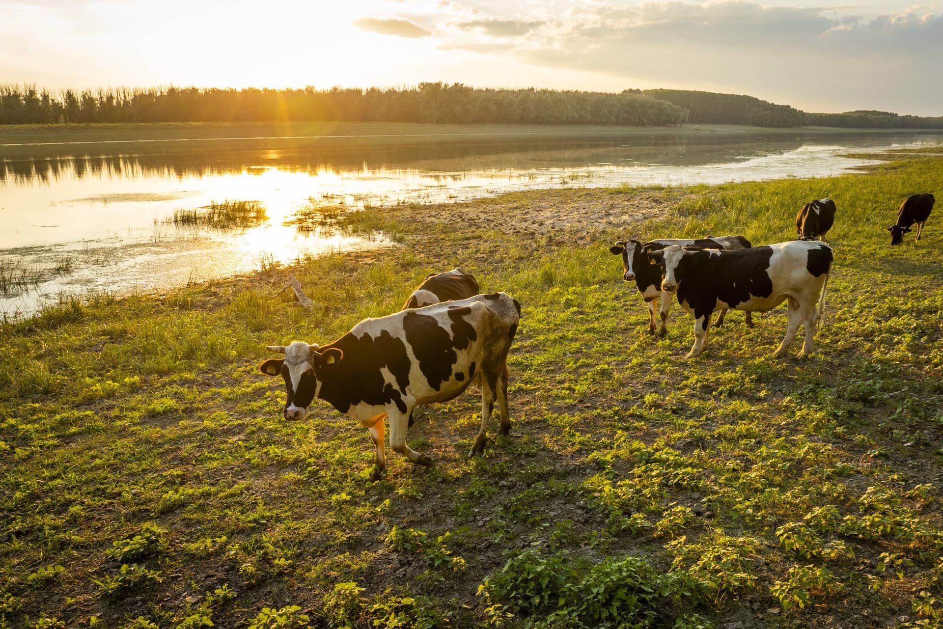
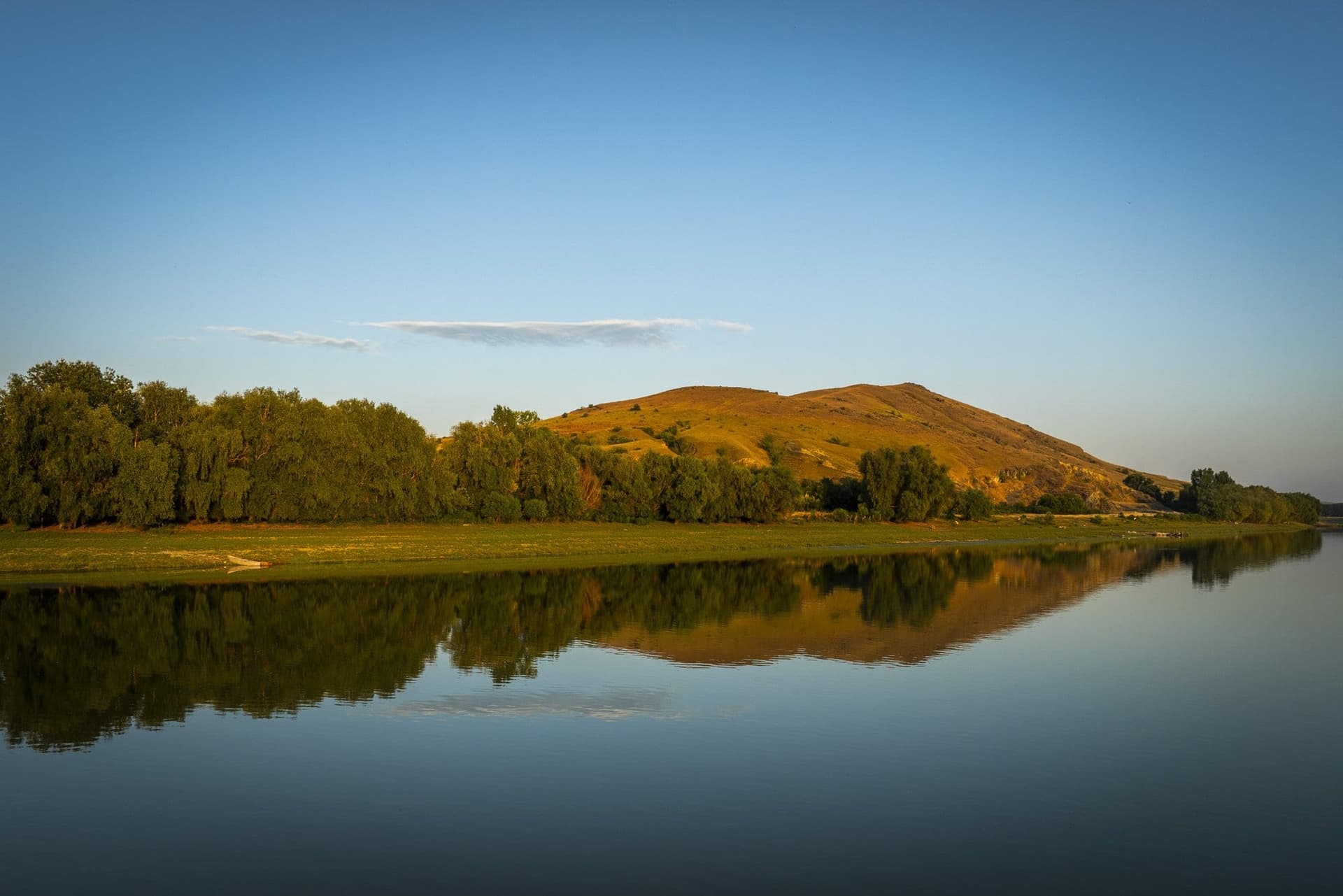
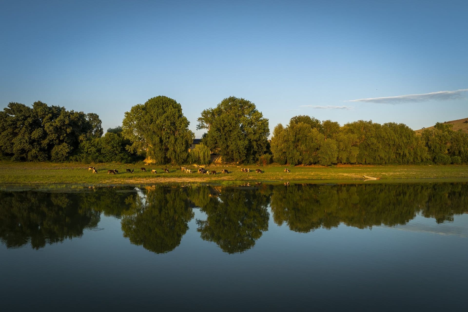
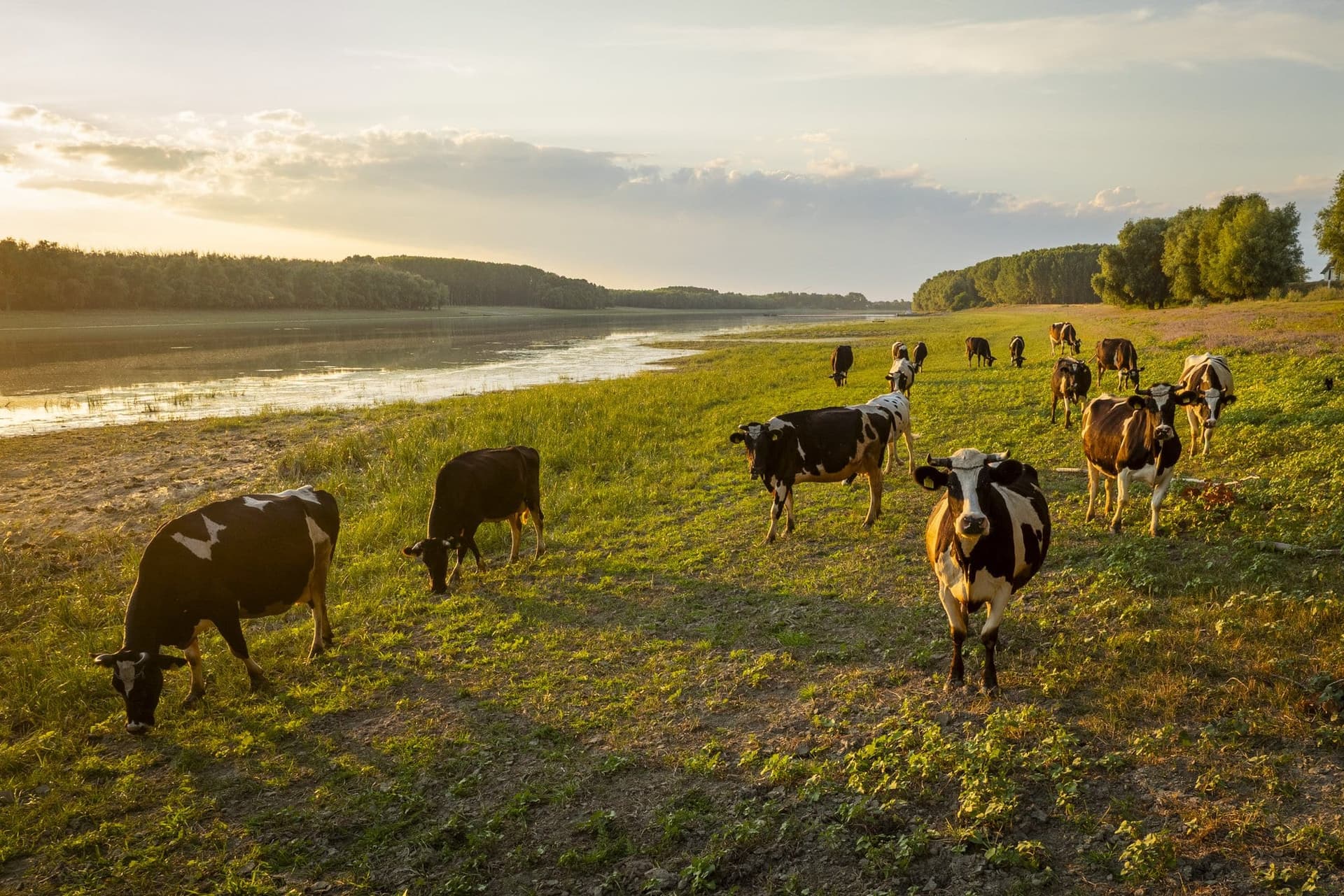
The cows come down to the water around 7:30 in the evening, when the sun sits squarely in line with the channel and turns the water into a sheet of metal foil. They come on their own, along a path worn into the short grass, and stop on the sandbar left exposed by the low water of summer. They drink, then stay there, legs in the river, motionless, the way cattle stand when no one is hurrying them.
A few hundred meters away, the far bank is an unbroken line of willows and poplars. The water between the two banks isn't the Danube everyone knows. It is the Măcin branch — or the Old Danube, as people here call it.
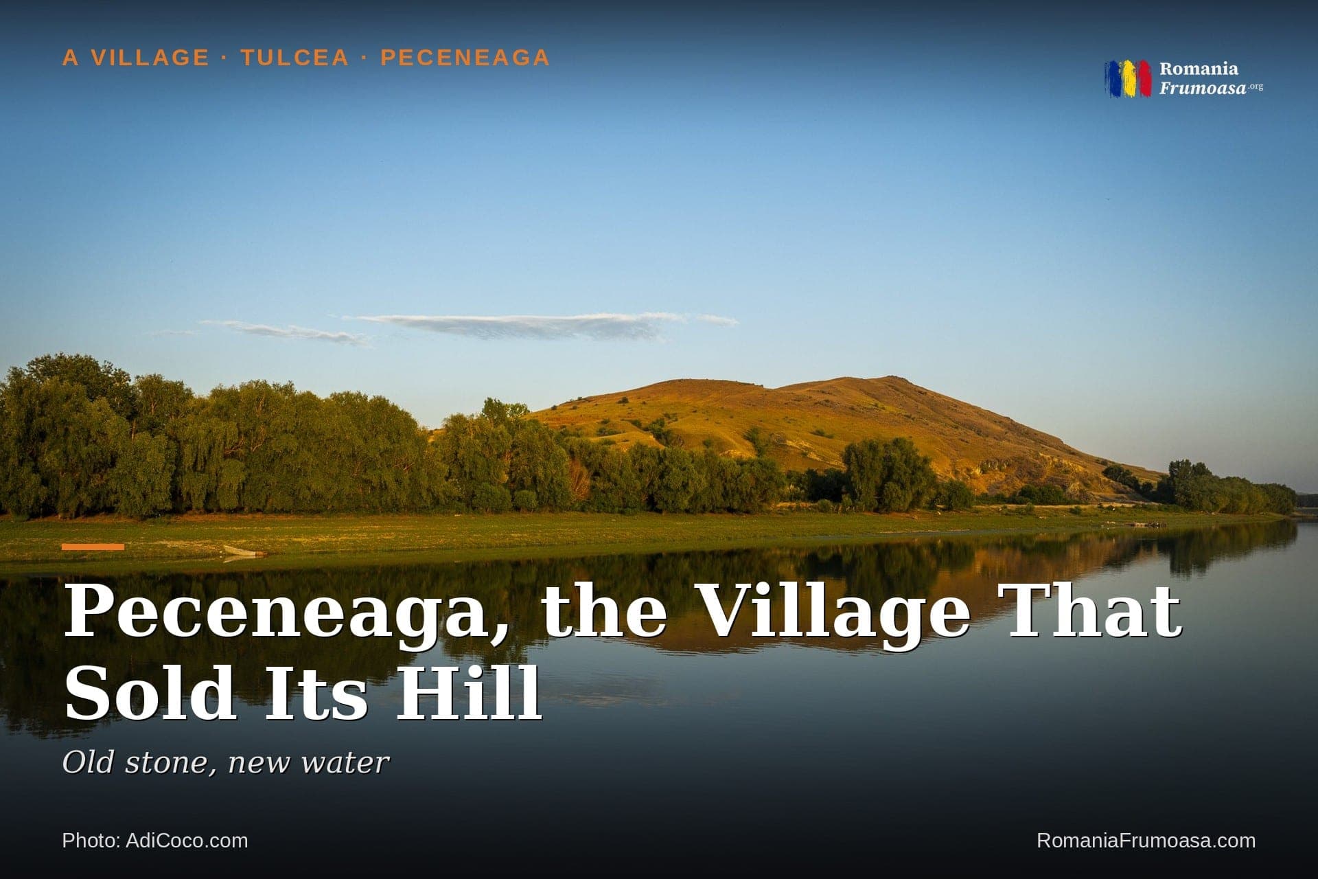
The village is called Peceneaga, and it lies 70 kilometers from Tulcea, near the line with Constanța County. It looks as if it has nothing to show. It does — just nothing in plain sight. A hundred and thirty years ago, stone and lime left this bank by boat. Peceneaga made its living from a hill.
Stone by water
In 1901, the Marele Dicționar Geografic al României (The Great Geographical Dictionary of Romania) — a five-volume work that described the whole country of the day, village by village: how many people, how many livestock, what roads, what was sold and what was bought — wrote a sentence about the commune that is hard to read today without pausing:
> "Trade is brisk, there being a small port on the Danube here, and consists of the export of grain, stone and lime and the import of rice, wine, spirits, soap and groceries."
The village sold far more than it bought: 100,600 lei in exports against 60,400 in imports, in a commune of 1,250 souls.
The port wasn't a real port but a landing — a spot on the bank where barges tied up. The same work placed it a kilometer west of the village, on the high bank, "next to the stone quarry and the commune's port." A stone-paved road ran down from the village to the water, and locals called it the Road of Justinian. In 1904, its traces "can still be seen today," wrote M. D. Ionescu, an army officer who published a description of Dobruja (Dobrogea) at the time.
You can haul grain by oxcart. Not stone. The village had a port because it had a quarry — and the quarry was the hill right beside it.
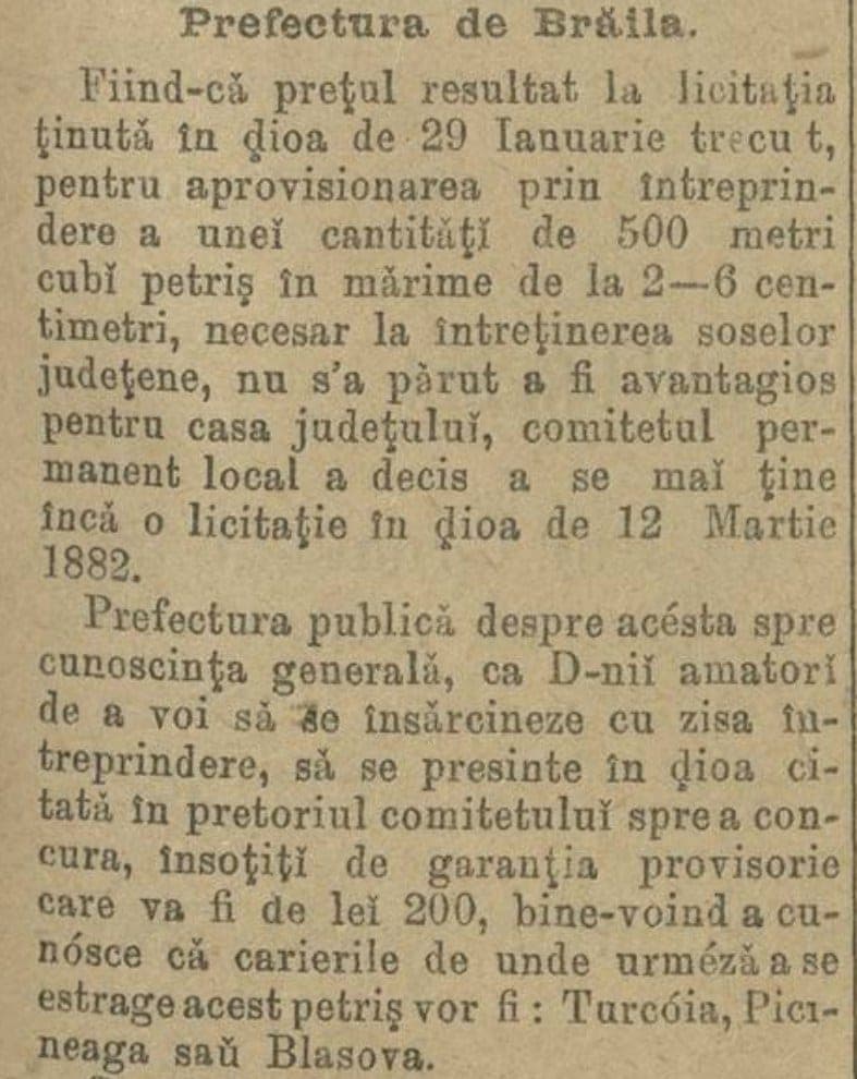
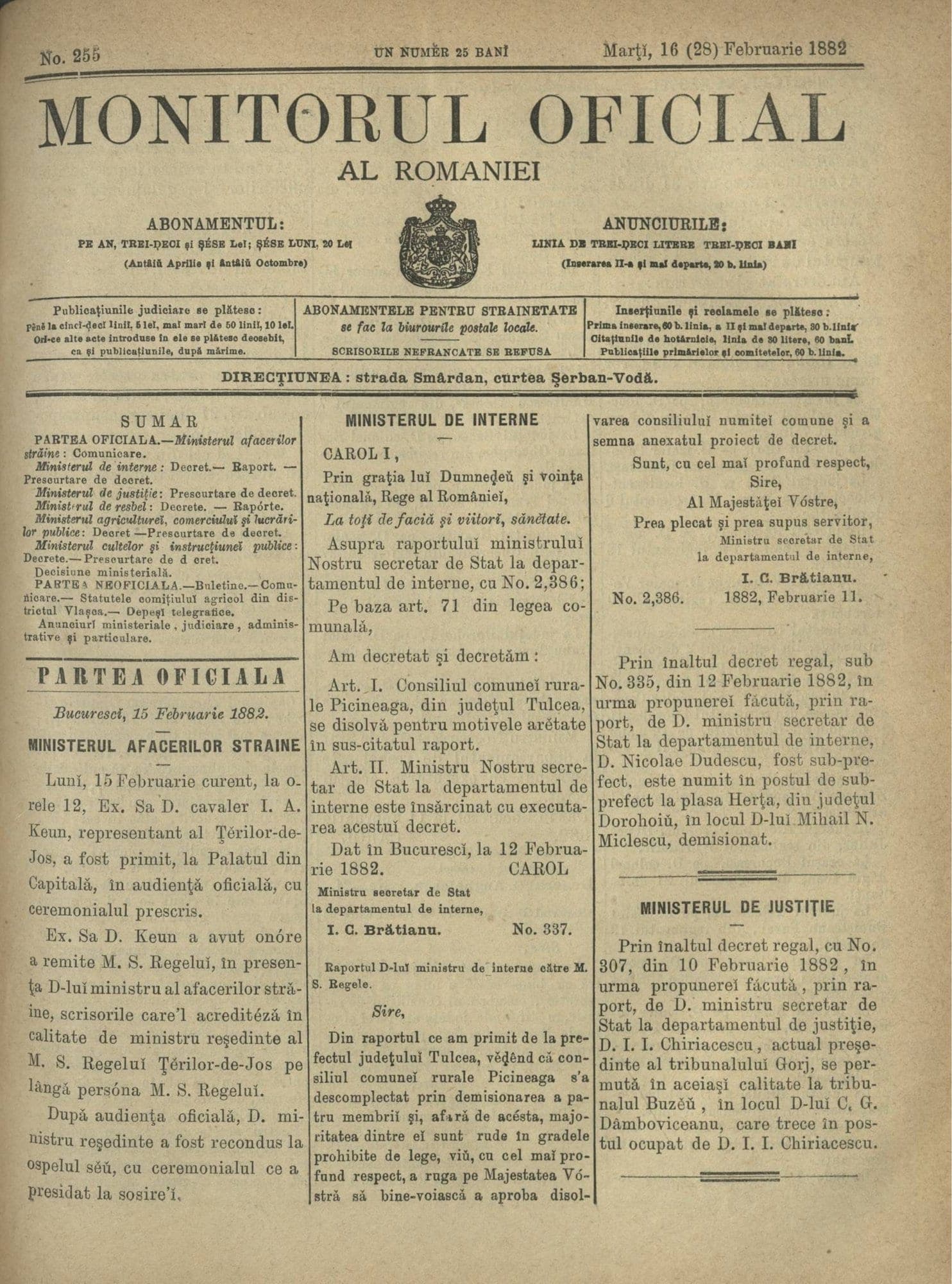
Where the stone went shows up in a February 1882 notice in Monitorul Oficial, Romania's official gazette. The prefecture of Brăila was looking for someone to deliver 500 cubic meters of crushed stone for the county's roads, from one of three quarries: "Turcóia, Picineaga or Blasova." Four years after Dobruja had become Romanian, the roads on the other side of the Danube could be paved with the hill at Peceneaga.
Peceneaga was literally selling off its hill, piece by piece, by water.
A hill older than the Carpathians
That hill is no ordinary hill. Its greenish rock — green schist, geologists call it — is more than half a billion years old. It formed at a time when the Carpathians did not exist, and in its layers, elsewhere in Dobruja, some of the oldest known traces of multicellular life have survived. In Peceneaga, the rock breaks the surface in the middle of the village itself.
A fault also runs through the village, a deep break in the Earth's crust that separates two very different pieces of Dobruja. Geologists call it the Peceneaga–Camena Fault. So the village's name turns up in textbooks and on the country's tectonic maps.
"Limestone versus silica: two antagonistic substances on the same patch of ground," sums up Valentin Paraschiv, a researcher at Romania's National Geological Museum. South of the fault lies the old, siliceous rock. To the north, another world begins: the granites of the Măcin Mountains — worn down until they became hills — and the limestones of Babadag. Earthquakes strong enough to feel are rare, but the fault is monitored: according to Paraschiv, a seismic sensor has been installed on the church in the center of the village.
At the edge of the village, toward the water, the oldest rocks in the area come up against the youngest ground: the sand and silt the river brought down the day before yesterday, geologically speaking. You can stand on the bank with your back to a hill more than half a billion years old, facing a sandbar a few months old.
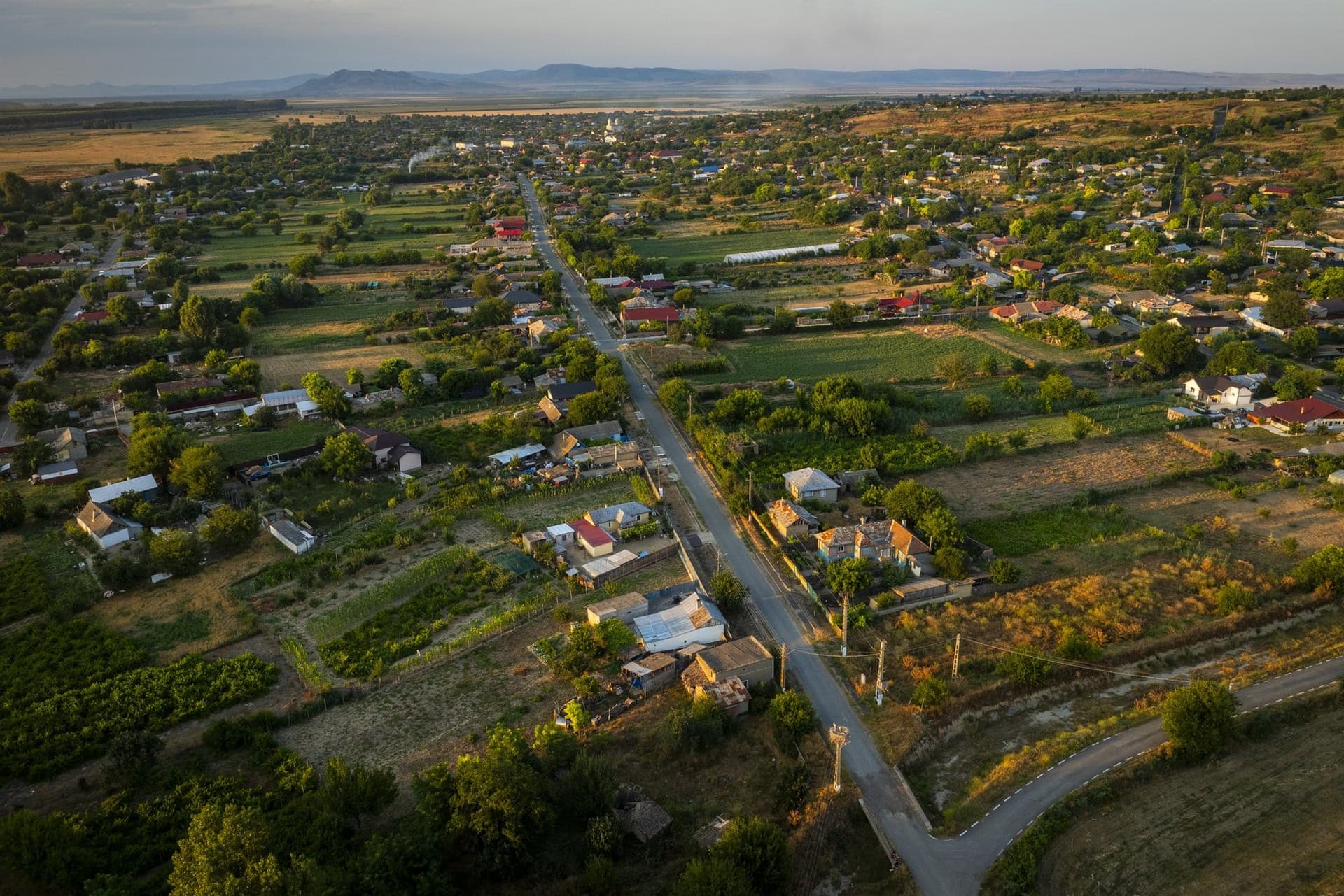
Named for a stream that no longer flows
A stream once ran through the middle of the village. It was called Peceneaga and was 19 kilometers long. The Turks called it Ai-Orman: the bear's forest.
The village is named after the stream, not the other way around. As for where the stream got its name, descriptions of the village from more than a century ago are more honest about it than many texts today: the stream took its name, "legend has it," from the Pechenegs, a nomadic people who once lived in these parts. Legend has it. The authors of the time flagged a hypothesis as a hypothesis.
What can be proved is less spectacular. The village first appears in an Ottoman tax register from 1507 or 1508. The tax was paid only by non-Muslims — so Christians lived here at the time. Between the last Pechenegs and that register lie some 350 years without a single document.
Even after that, the village was not large. In 1849, according to a Russian observer, it had 10 houses, inhabited by Turks and Romanians. Ten houses — the figure comes from a single source, but if it is right, nearly everything you see today was built afterward.
As for the stream, a description of Tulcea County published in 1896 contains a sentence that is, in fact, the first chapter of this village's story:
> "the stream dried up a few years ago, and the mills along it no longer run either."
Two villages on two banks
Between 1768 and 1878, six wars between Russia and the Ottoman Empire swept through Dobruja. The armies crossed the Danube right here, and every war moved people.
The same 1896 description tells how today's village was born. Around 1828, an old man from Brăila County, Petru Pelin, dug himself a pit house on the left bank of the stream. Others followed from Bessarabia — fleeing, it is said, "because of the Russians." A local history of the village adds families from the Brăila villages of Gropeni and Stăncuța, who crossed the water by boat. Then came shepherds from Transylvania with their flocks. Then a few Bulgarians and Greeks who "had lost their language and customs" and spoke Romanian.
On the right bank, around 1838–1840, Tatars settled. They most likely came with the waves pushed south by the Russians, who had moved them out of the Budjak, the steppe of southern Bessarabia. For a few decades there were two villages with the same name, separated by the streambed: one Romanian, one Tatar. Both appear, separately, on a map drawn in 1850 by Ion Ionescu de la Brad.
If the 1896 account and the chronology are right, two communities avoiding the same empire, arriving from opposite directions, settled on the two banks of the same stream. And the stream would go on to dry up.
The Tatar village was "abandoned before the last war," notes M. D. Ionescu — that is, before 1877. Why, no one knows. What remains of it is a name on the map: Valea Tătarului, the Tatar's Valley, at the tail of the lake, toward the road to Ostrov.
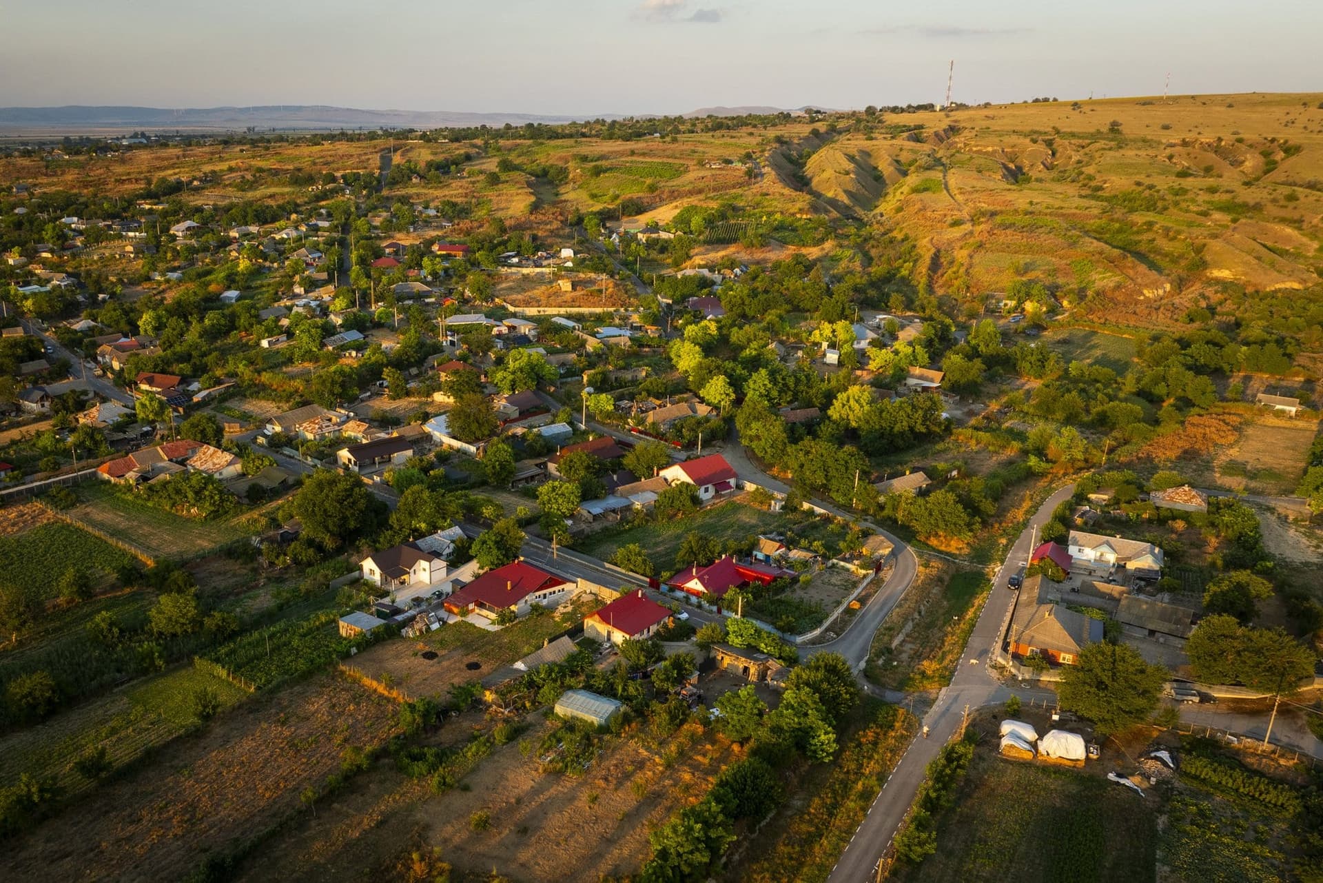
Relatives on the council and a missing tax collector
The commune's first years under Romanian rule can be traced in Monitorul Oficial — and not always at their best.
In February 1882, King Carol I signed a decree dissolving the commune council: four members had resigned, and most of those remaining were "relatives within the degrees prohibited by law." A year later, the court in Măcin put up for auction the house of the commune's former tax collector, Ioan Stănicel, "currently missing," so the state could recover the 7,978 lei and 51 bani that had gone missing. His house was made of wattle and daub, with a clay tile roof.
In 1885, the same Monitorul published the list of village merchants entitled to vote for the Chamber of Commerce: Harito Eftimie, Leiba Diamant, Moise Samoil, Solomon Axenfeld, Stancu Vlad, Todor Rusef, Tanea Todor, Vasile Pestrea. Nine names, one of them no longer legible.
What lies beneath the village
People came here long ago. Thirty-one archaeological sites are on record within the commune — settlements, graves, burial mounds.
In several places in the commune, archaeologists have picked up surface shards of amphorae brought from Thasos, Chios and other Greek cities, some of them on the southern coast of the Black Sea. They date from the fourth century B.C. In other words, more than 2,300 years ago, people here drank Greek wine and used olive oil brought from far away, most likely through the Greek city of Histria.
On a rocky promontory above the water stood a small, square Roman fort with four towers. In the late 19th century, the archaeologist Pamfil Polonic found it "well preserved." In the early 20th century, the site was turned into an icehouse.
The most beautiful find is more recent. In April 2014, about 4.5 kilometers from the village, at the foot of a burial mound more than 7 meters high — Movila Breazului — archaeologists from Tulcea came across a long stone among other stones. It was a 1.75-meter (5-foot-9) limestone statue: a man with a clearly defined head and a weapon carved on his body. Ten years later, the same researchers, together with German colleagues, described it as the statue of a Scythian warrior from the fourth century B.C. — bearded, left-handed, with a belt, a quiver and armor on his thigh. The grave beneath the mound has not yet been found.
A museum, a monument and the collective farm office
In 1938, the Enciclopedia României (Encyclopedia of Romania) counted the village cultural centers in Tulcea County. There were 19. Only one carried a note in parentheses: "Pecineaga (model center)." On the same page were the county's museums: five, one of them here, in a village of about 2,000 people. What it displayed, and where those objects ended up, is unknown.
In the center, in a small park, stands an obelisk topped by a metal cross and bearing the names of 66 soldiers killed between 1941 and 1945. At the base, the words "PEACE ON EARTH." It was unveiled in 1990, on Heroes' Day.
And from the years of the cooperative, there remains one dry sentence in an archaeological record. The mounds beside the road to Traian, still visible on military maps from 1962, "were destroyed when the CAP headquarters was built" — the CAP being the communist-era collective farm — and the others by a vineyard. The cooperative's headquarters went up over an ancient cemetery, with no known investigation of what lay underneath. Archaeologists later found shards of Greek amphorae on the surface there.
The quiet now
The village reached its peak population in 1956: nearly 3,000, according to a study by the Tulcea County Library. At the 2021 census there were 1,465. Nearly one home in three stands empty.
There is no port anymore. There is no bridge and no ferry. The quarry in the hill closed more than 15 years ago. The stone has stayed in the hill.
What has taken its place is a very concrete quiet. For some 15 kilometers, the channel doesn't have a single navigation marker. The bank is a protected area for birds, and the hills behind it hold a kind of steppe that is increasingly rare in Europe.
Rock thyme grows here, along with the Dobruja bellflower, which exists nowhere else in the world but Dobruja. The spur-thighed tortoise known here as the Dobruja tortoise lives here, and so does the otter. Eastern imperial eagles and saker falcons pass overhead. In winter, the red-breasted goose, which spends its summers in the Siberian tundra, may come down here. In spring and fall, the pelicans pass through.
We didn't find any of this written on a single sign.
The house on the high bank
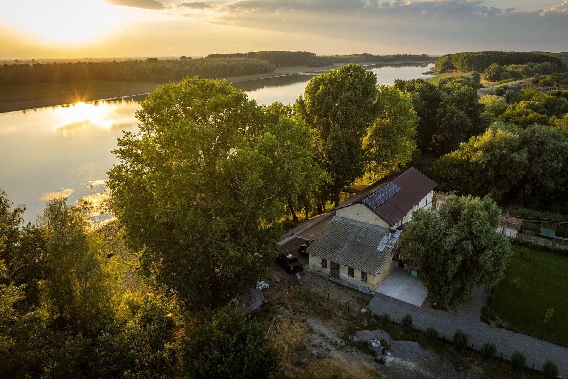
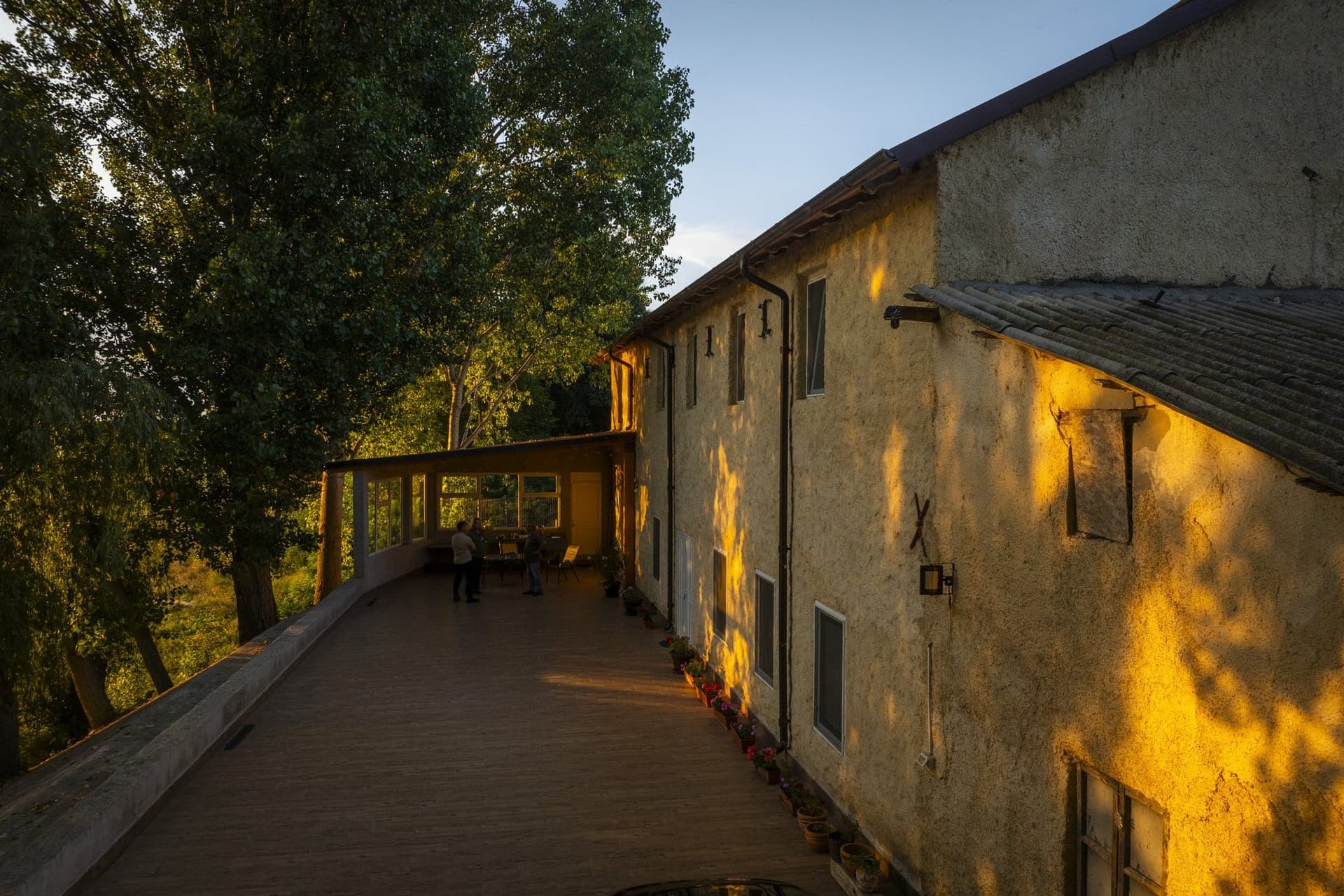
At the edge of the village, exactly where the 1901 dictionary placed the quarry and the port, stands a building.
It has thick walls, small high windows, lime plaster that the evening light turns golden and, on the facade, X- and S-shaped iron anchors — the pieces that tie together the walls of a multistory building. Under the eaves is a bricked-up opening, the size of a loading door. Next to it stands a lower wing with an old asbestos-cement roof. Over the main block, a new roof and a row of solar panels.
It is the hour when the sun strikes the wall at a low angle and picks out every unevenness in the plaster. On the wooden terrace in front are chairs, tables and pots of geraniums. Two people are talking. A black-and-white cat has settled on the retaining wall on the river side and is watching the water.
The owners say it was a mill. They bought it at a foreclosure sale and turned it into a guesthouse.
The village records mention several mills, but none of them can be tied to this building. The water mills on the stream had stopped before 1896, when the stream dried up. In 1904, the commune had two mills, of an unspecified kind. In 1930, a county inventory still recorded a motorized mill here. Whether any of them is the house on the high bank, we could not find out.
The site itself, however, has been on record for more than a century. From this bank, the village's stone and lime left by water.
Below the retaining wall, the cows are still standing on the sandbar, legs in the water. With the first high water, the sandbar will be gone. The hill behind them will stay.
If you go
Getting there. Take county road DJ 222F, which links Peceneaga with Ostrov to the south and Traian to the north and connects to national road DN 22A between Hârșova and Tulcea. From Bucharest, the easiest route is through Hârșova. From Brăila and Galați, cross the bridge at Brăila and head south through Măcin. There is no ferry. Don't try crossing from Gropeni — it leads to the Great Island of Brăila, not here.
When. Late summer and early fall, for the low water, the sandbars and the low evening light. Winter, for the birds. Spring, for the steppe in bloom on the hills.
What's worth seeing. The riverbank, at the hour the cows come down. The hill of green stone, which breaks the surface right in the village. Movila Breazului, toward Cerna. The war memorial in the center. And, if you have the patience to ask around, the traces of the stone road that ran down to the water.
What not to expect. Signs, trail markers, a visitor center. We didn't find any. That, in fact, is why it is worth the trip.