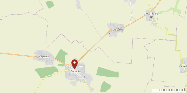
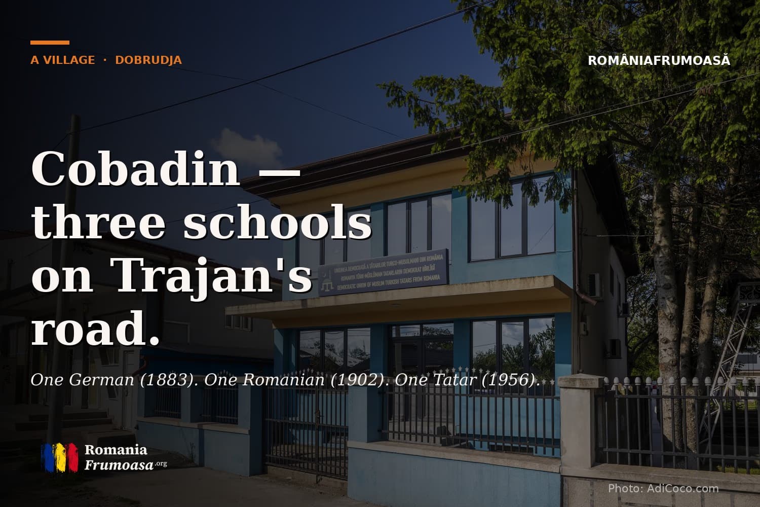
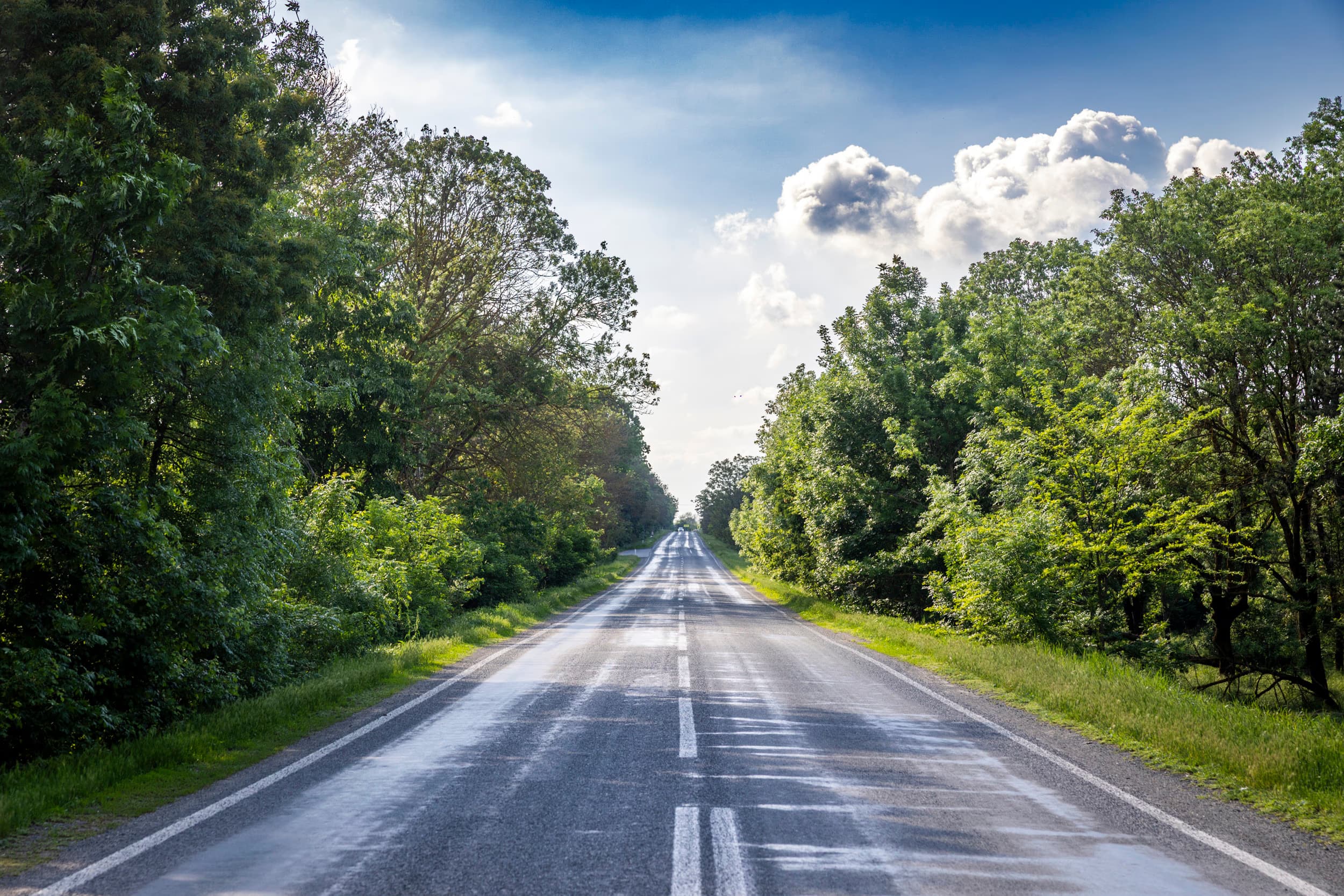
On the DN3, forty kilometers southwest of Constanța, the road to the fortress of Tropaeum Traiani passes through several villages before reaching Trajan's monument. At the third — Cobadin — the road cuts the village in two, and on the left side, at intervals of seven decades, three old schools appear one after another.
Three Schools
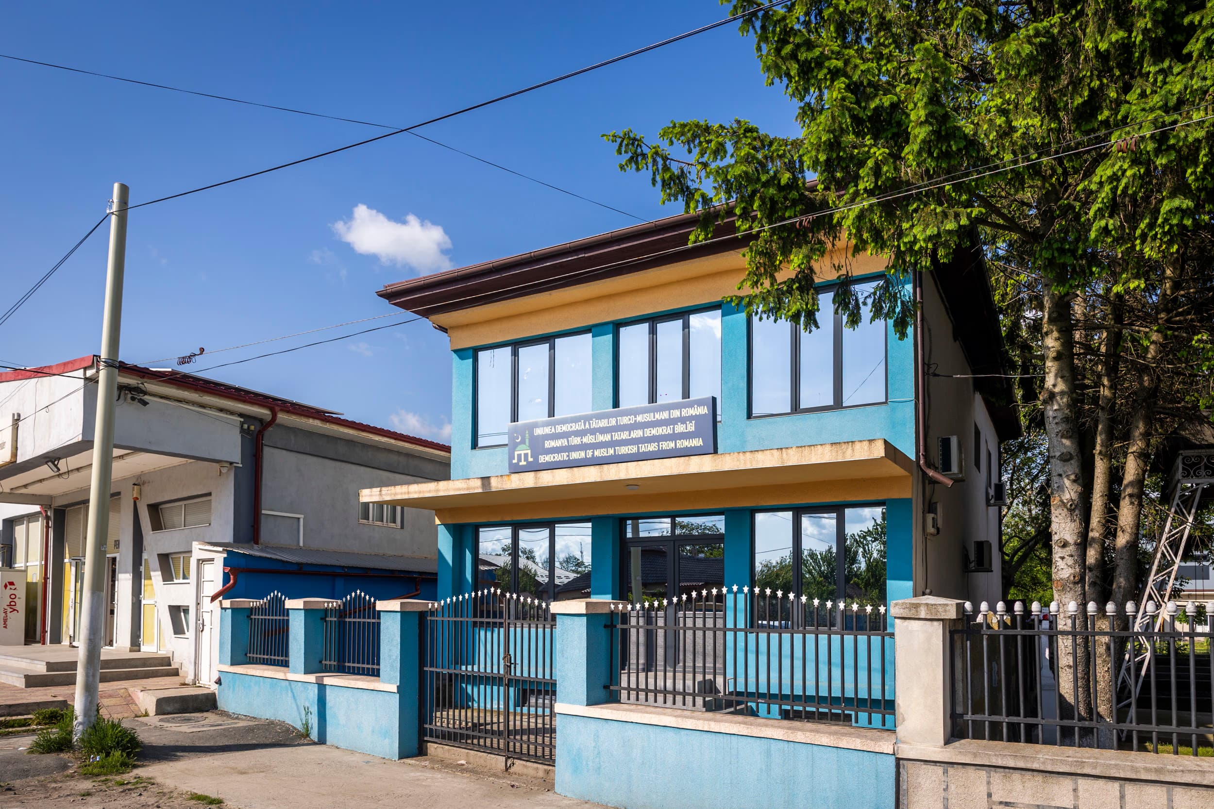
The first is the German School, built between 1883 and 1885 — before the official wave of German settlers arrived from Bessarabia. The second is the Romanian School, built after 1902 and completed in stages by 1936. The third is the Tatar School, dating from 1956, built during full socialism for the Turkish and Tatar communities. Between them stands a Director's House, also from 1902.
Three schools, three languages, on the same street. One German, one Romanian, one Tatar. It is a small map of Dobrogea, written in brick.
This is what you need to know about Cobadin before anything else. A village on Trajan's Roman road, settled successively by Turks, Tatars, Romanians, and Germans — and today by all of them together, except the Germans. A commune that grew in the 2021 census. Those that are growing in Dobrogea in 2026 are very few.
The Road
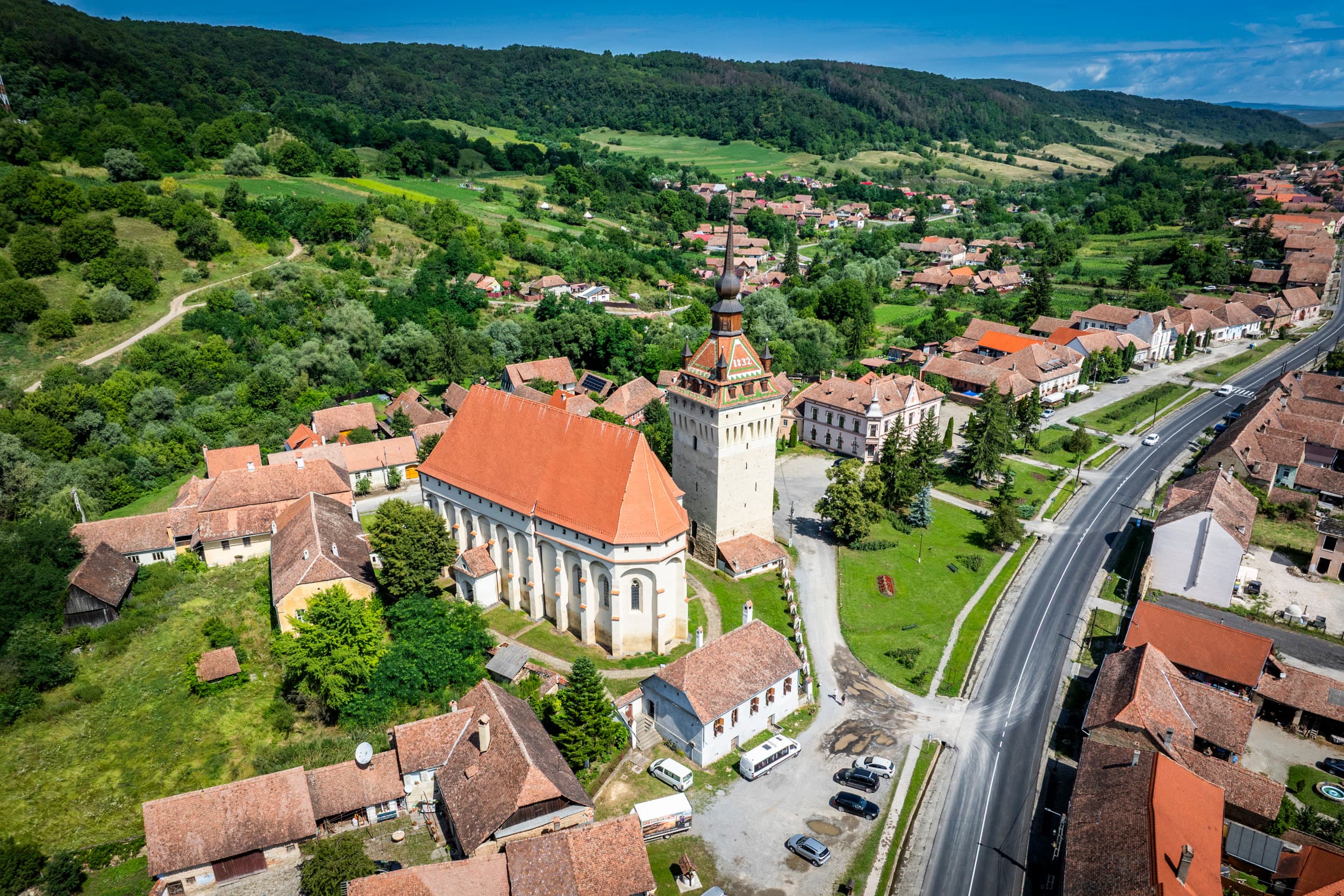
The road linking Constanța to Adamclisi is not an invention of contemporary tourism. It is the Roman road that, in the time of Emperor Trajan, connected Tomis and Histria to the fortress of Tropaeum Traiani — the place where, after the battles with the Dacians in 102AD, the emperor ordered the construction of a triumphal monument which, restored in 1977, still stands sixty kilometers southwest of Constanța.
Cobadin lies on this route. 38 kilometers from Constanța, 18 from Medgidia. It has a railway line toward Medgidia and Negru Vodă. It is a stopping point that has been a stopping point for two thousand years.
That is not a metaphor. In the National Archaeological Register, the locality appears with a Roman-era site — habitation, settlement, burial mound, funerary finds — dated to the 1st–3rd centuries. Cobadin was inhabited in Roman times. Then by Turkic peoples and Tatars under Ottoman administration. Then by settlers who came from elsewhere.
The name survived. Its earliest recorded form appears on the Russian General Staff map of 1838 asKobadin. A later map of a Romanian estate records it asCopatin. Where the name comes from is not known for certain. One hypothesis is Arabic —"Cutbadin"— meaning "monument". Another is folk etymology —"popa Dinu"— which became"Copadinul". Both remain hypotheses.
The Settlers Who Left in 1940
In 1890–1891, the last wave of German settlers who came to populate Dobrogea stopped at Cobadin. They came from a Bessarabian settlement called Neu-Plotzk — identified in a study published by theBlack Sea German Research Societyas the mother colony of the families who arrived here. For them, the village was calledKobadinuntil 1940.
In 1940, Hitler called them "home" through the agreement with Antonescu —Heim ins Reich. Almost all the Dobrogean settlers left. Those from Cobadin did too.
They left behind a school, a few houses, an agricultural structure, and a name —Kobadin— that remained on the map, but with no one left to say it in German.
September 1916. The Monument of 1925
In September 1916, Cobadin was one of the few stops along German Field Marshal August von Mackensen's offensive through Dobrogea.
In the first phase, on September 5–7, the Central Powers forces — Bulgarian divisions 1, 4, and 6, and the German brigade"Bode"— attacked the Rasova–Cobadin–Tuzla line. Facing them, six Romanian divisions, one Serbian volunteer division, and two Russian divisions held the line. Two weeks later, on September 18–19, in the battles at Cocargea and Cobadin, Mackensen was stopped for good. He went on the defensive.
For the Dobrogean campaign of 1916 — the campaign in which, on every other front, Romania was losing everything — it was one of the few defensive victories.
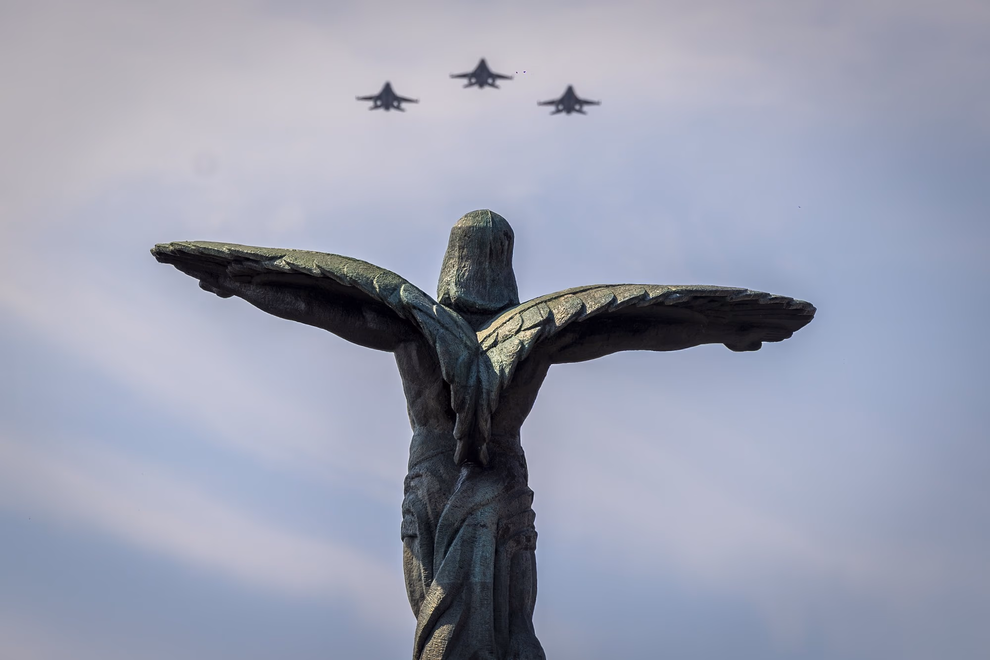
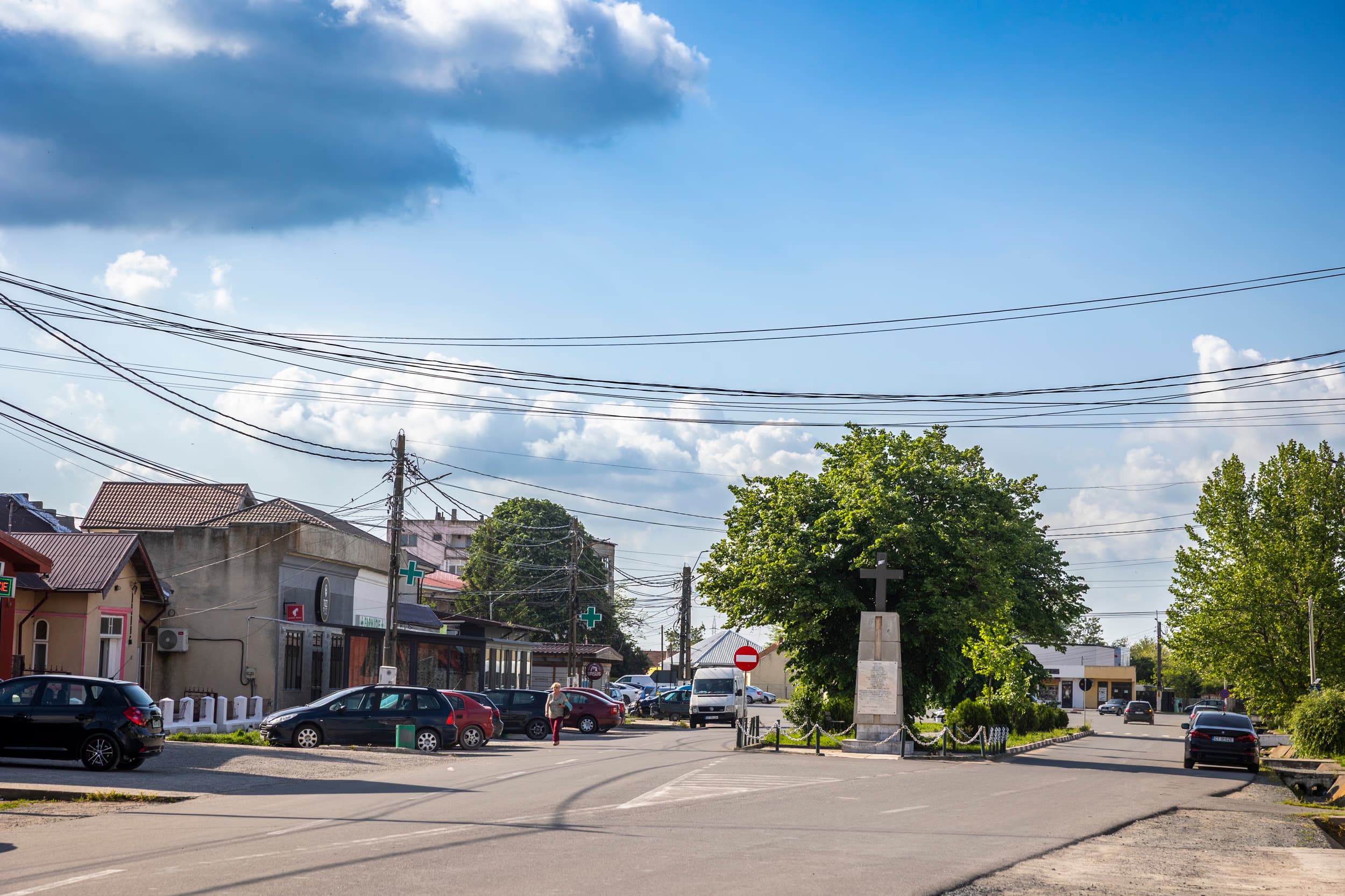
In 1925, the sons of the village who died fighting for the defense of Dobrogea were honored with a monument in the center of the locality. It is still there, in the square. The names on it are peasants' names — people who, until September 1916, had no reason to enter history.
The Hermitage
In the village of Negrești — one of the five villages of Cobadin commune — there is a wooden church dedicated to Saint Gerasimos of Kefalonia.
It is unexpected. Saint Gerasimos of Kefalonia (1509–1579) is the patron saint of a Greek island. He is venerated in Athens, in Piraeus, in Kefalonia. Seven hundred kilometers to the north, in the middle of the Dobrogean plateau, his wooden church at Negrești houses an icon that believers say performs miracles — and which, if it is an institution, represents a strange connection between Romanian Dobrogea and the Mediterranean.
The hermitage is young. The abbot, Father Hierodeacon Isaia, came here in 2014 after serving as abbot in Ialomița. Pilgrimages organized from Bucharest have made this place an unexpected stop on the map of Romanian popular Orthodox devotion.
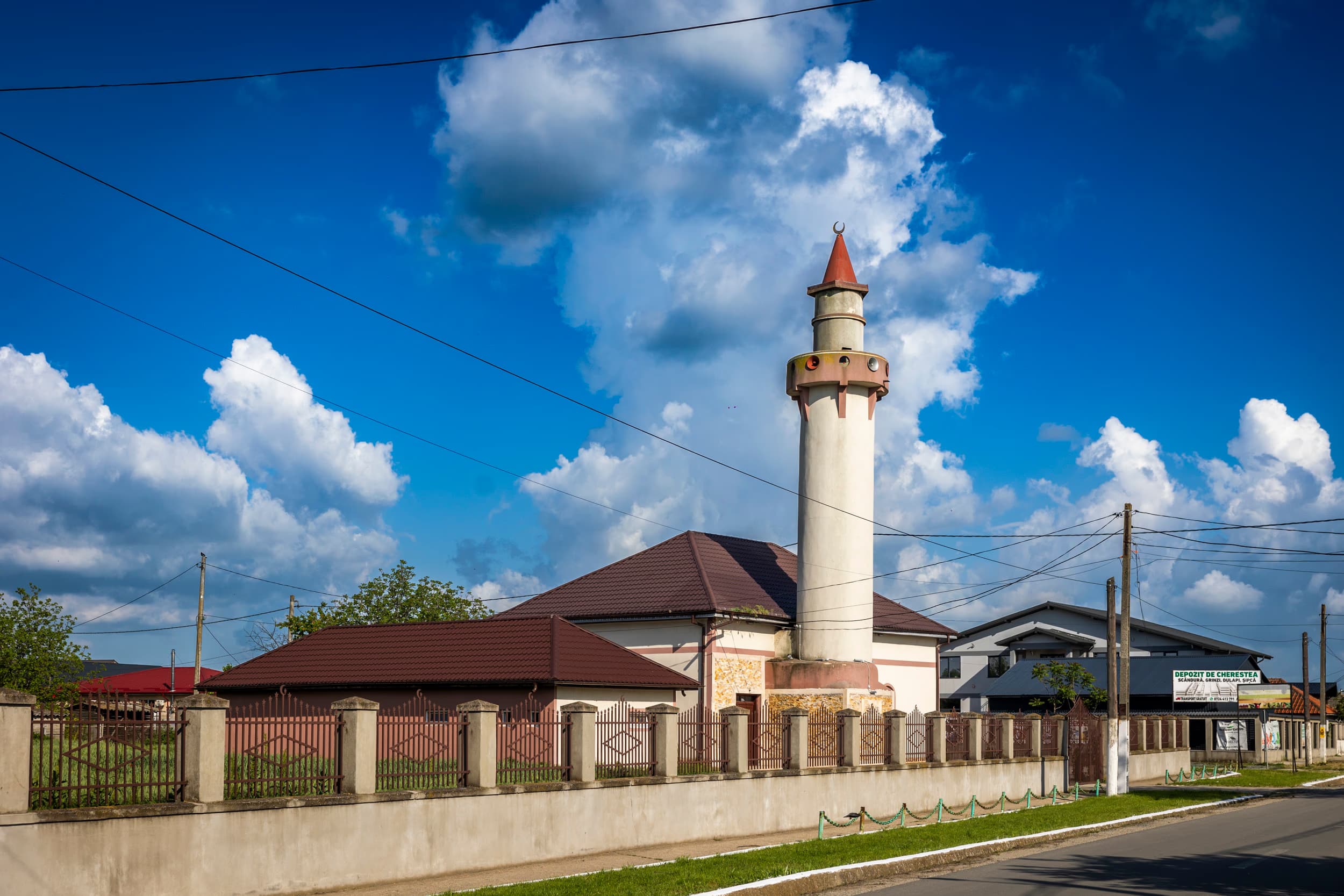
A kilometer away, the mosque in Cobadin continues to serve the nearly two thousand people who identified as Muslim in the 2021 census.
The Anomaly
Cobadin has 9,122 inhabitants. In 2011 it had 8,779. It grew by three hundred and forty-three people in ten years. It is not a large increase, but for rural Romania — and especially for southern Dobrogea, where almost every village is emptying — it is a statistical anomaly.
Romanians number 6,547.
Turks — 1,447.
Tatars — 369.
The rest are Roma and undeclared.
Three languages can still be heard in the commune. Two faiths coexist under a shared administration. In other villages in Dobrogea, the Turkish and Tatar communities have begun to thin out under the pressure of migration and aging. In Cobadin, the data suggest they are holding.
The commune's agricultural area is 16,711 hectares. Almost all of it is arable. The main crops: wheat, barley, sunflower, corn. Cobadin is officially classified as an independent wine-growing center within the Dobrogea viticultural region — a distinction that, for a plains village, is more of a reserve than an industry.
What Remains
Cobadin commune has five villages — Cobadin, Viișoara, Negrești, Conacu, Curcani. It has a lake, Conacu-Negrești, of one hundred and eighty-three hectares, linking two of them. It has festivals — the Cobadin Cultural Festival, the Commune Days, the Harvest Day, and the Village Sons' Reunion. Turkish and Tatar dance ensembles take the stage alongside local choirs.
It has a library with twenty-three thousand volumes. It has a German school without the German language, a functioning Romanian school, and a Tatar school for the minority communities.
It has a Roman road beneath the asphalt, a monument from 1925 in the square, a Greek hermitage on the edge of the village of Negrești, and a mosque in the center of the seat village.
It is not a village memorable for its beauty. It is memorable for itslayering. A settlement that, if you know it well, reads like a cross-section through Dobrogea itself.
 1 / 11
Photo: AdiCoco.com
Photo essay by Adi Coco · RomâniaFrumoasă · June 8, 2026.
Sources:
Cobadin Town Hall — official commune profile
Archdiocese of Tomis — Cobadin I Parish
Archdiocese of Tomis — Cobadin II Parish
Black Sea German Research Society — The Germans in Dobrudscha (PDF)
Discover Dobrogea — Tropaeum Traiani museum complex
Ziarul Financiar — Cooperativa Agricolă Dobrogea Sud
G4Media — Disappearing minority communities in Dobrogea (RPL 2021 analysis)