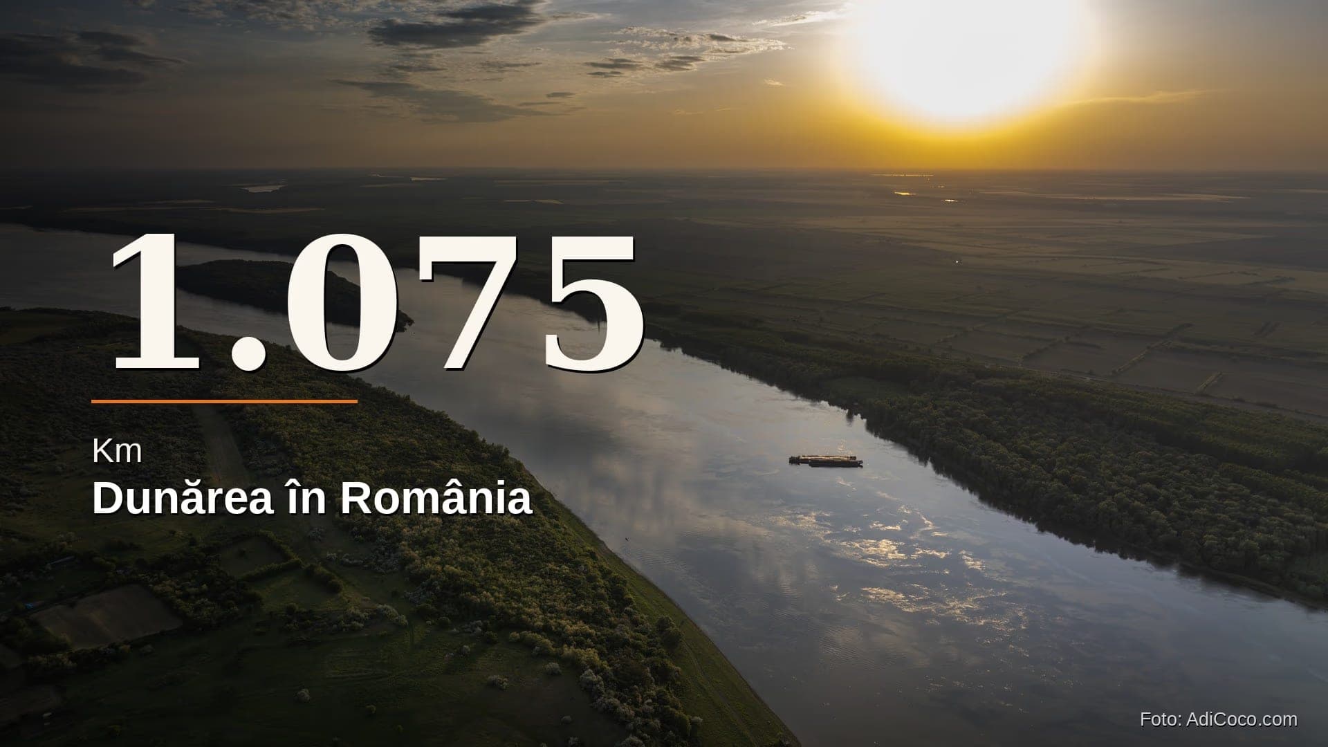
1,075 km — that is the length of Romania's stretch of the Danube, from Baziaș (river kilometer 1075) to Sulina (kilometer 0). It is the longest national sector of the river among all 10 countries it flows through (Encyclopædia Britannica).
~2,850–2,857 km — the total length, from the Black Forest to the Black Sea. Sources give slightly different figures depending on how the measurement is taken. Romania's sector accounts for roughly 38% of the river — with one nuance: much of it is a border, not a stretch running through the country's interior.
0.6 km — the length of Romania's Danube border with the Republic of Moldova, near Galați. About the length of a city block. (The rest of the river borders: ~235.5 km with Serbia, ~469.5 km with Bulgaria, ~53.9 km with Ukraine.)
3 branches — in the Delta, the river splits into Chilia, Sulina, and Sfântu Gheorghe. Lengths vary by source and measurement method (Chilia, the longest, ~111–120 km; Sfântu Gheorghe, a winding course of ~112 km; Sulina ~64 km). Sulina is the channeled branch and the main maritime navigation canal — which is why river kilometers are counted from it.
Water: Between Drought and Flood
~15,800 m³/s — peak flow, recorded during the April 2006 flood; the highest in roughly 160 years of records (since 1840).
~1,500 m³/s — minimum flow, in September 2003, at the point where the river enters the country (Romanian Waters Authority, as cited in the press). Some hydrological studies give a slightly higher figure (~1,640 m³/s, August 2003). Either way, between drought and flood there is a difference of roughly tenfold: the same river, two faces.
~6,500 m³/s — the long-term average flow, a figure widely cited; the exact value depends on the hydrometric station and the reference period.
People and Goods
~32 million tonnes of cargo moved along the Danube and inland waterways in a single year (2023, according to the economic press; the exact figure depends on the indicator — tonnes, tonne-kilometres, domestic or total transport).
Among the highest shares in the EU — Romania moves an unusually large proportion of its freight by water. For a country that complains about its roads, the river carries a great deal, quietly.
No complete data — passenger numbers do not appear in any public, comprehensive, easily accessible statistic covering all local crossings. Port transport is reported by the National Institute of Statistics, but daily commuter crossings along the banks and routes in the Delta almost certainly fall outside the official count — a mode of transport used more than the paperwork suggests.
More than 10 ferry crossings link the two banks: four toward Bulgaria (Zimnicea, Bechet, Turnu Măgurele, Călărași), one toward Ukraine (Isaccea), and several domestic routes — Galați–I.C. Brătianu, Brăila–Smârdan, Tulcea, Nufăru, Piatra–Ostrov. The list varies by season and operator.
Energy and Concrete
~10%(varying year to year) — that is how much of Romania's national electricity output can be covered by a single structure on the Danube: Iron Gates I (Porțile de Fier I), the country's largest hydroelectric plant by installed capacity (approximately 1,166 MW; the generating units were commissioned in 1970–1971, with an official inauguration in 1972).
Only 2 bridges cross the Danube along the entire border with Bulgaria — nearly 470 km of shared river, spanned only at Giurgiu–Ruse (1954) and Calafat–Vidin (2013). Everything else travels by ferry.
64.4 km — the length of the Danube–Black Sea Canal (95.6 km including the northern branch Poarta Albă–Midia Năvodari). Inaugurated in 1984, it shortens the route for vessels heading to Constanța by roughly 400 km.
The Largest Recent Flood
The spring of 2006 brought one of the largest floods ever recorded on the Romanian Danube: approximately 60 days of high water, more than 15,000 people evacuated, around 87,000 hectares flooded — equivalent to roughly 870 km² — and damages of approximately 340 million euros.
"The Mourning Border" (before 1989)
There is a chapter of the Danube's story that never makes it into geography lessons. During the communist regime, the border sector with Yugoslavia was one of the main escape routes out of the country — crossed by swimmers or in improvised boats.
In 1988, a West German newspaper (Niedersächsische Tageszeitung, 30 December 1988) reported that, that year, around 400 refugees had been shot by Romanian border guards at the border with Yugoslavia, and many others had drowned in the Danube. The Romanian–Yugoslav frontier came to be regarded as the bloodiest border in Europe in the late 1980s.
The total death toll remains unknown — no official statistics exist. The most thorough journalistic account, the volume "Mormintele tac" (The Graves Are Silent) by Johann Steiner and Doina Magheți, gathers testimonies and traces of those who did not make it: anonymous graves in villages on the Serbian and Romanian banks, near Orșova and throughout the Clisura. Figures on the total number of attempts and deaths should be read as estimates and testimonies, not official data.
A river that, in other times, was road, border, hope, and grave all at once.
 1 / 8
1 / 8